Most recently added antique and rare maps as of 7/15/2025.
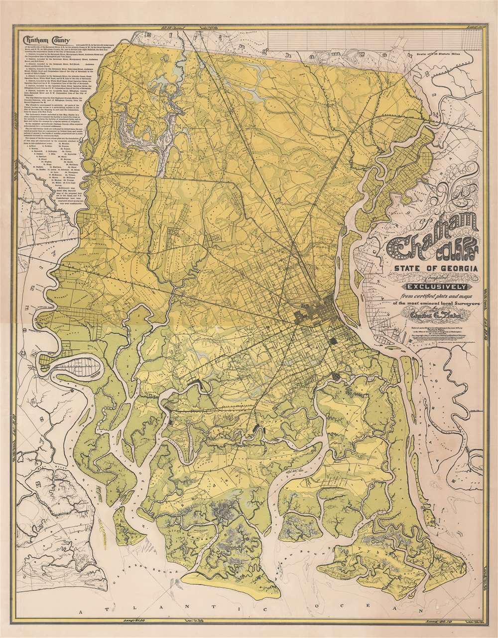
1875 Platen Wall Map of Chatham County (Savannah), Georgia
First Large-Scale Map of Chatham County, Georgia.
$6,500.00

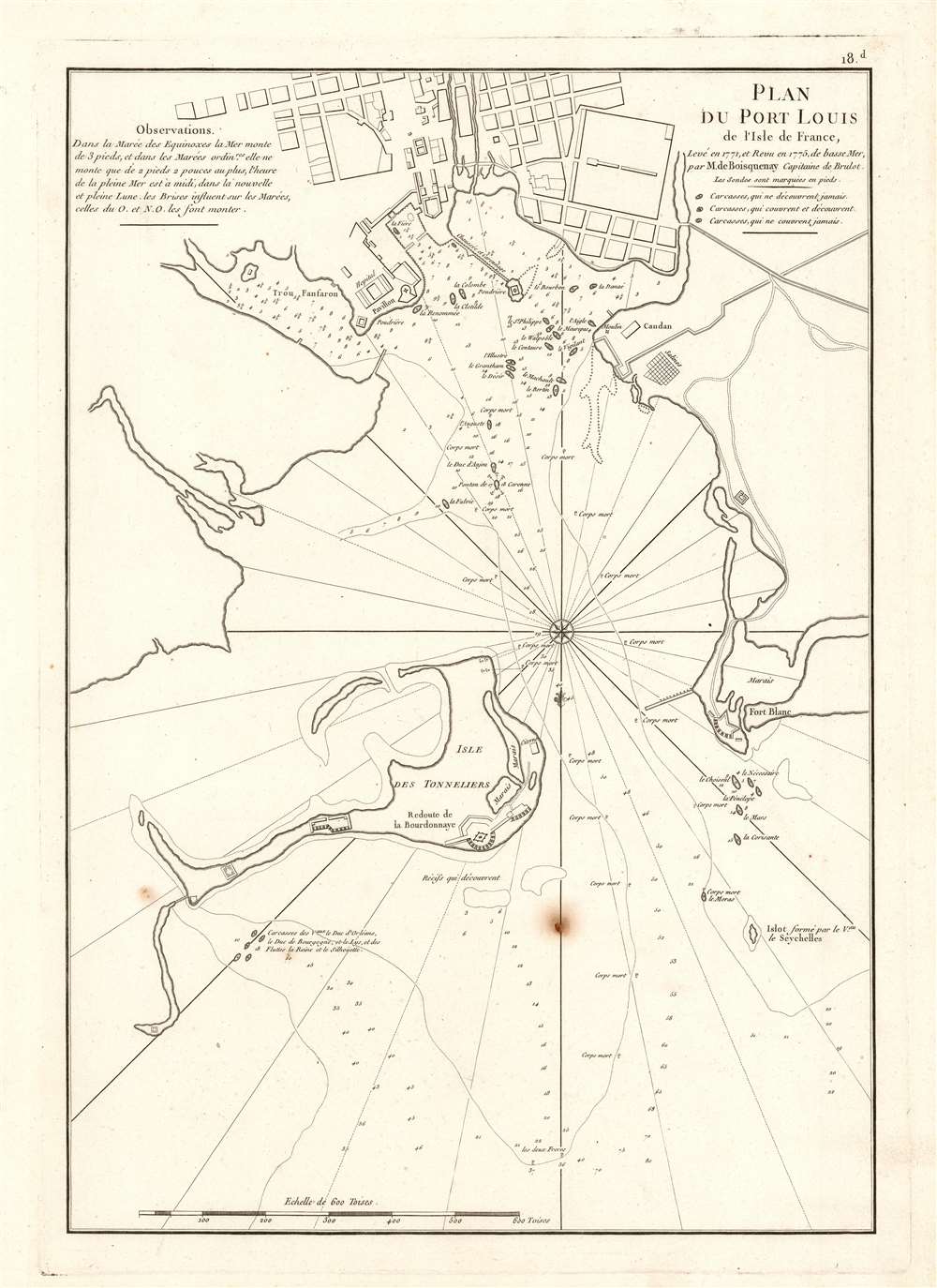
1775 Mannevillette Harbor Chart of Port Louis, Mauritius
Key Port in the Indian Ocean.
$950.00

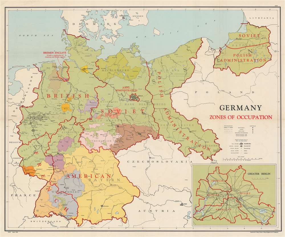
1946 U.S. State Department Map of Germany Post World War II Allied Occupation Zones
An official U.S. State Department map of Occupation Zones in Post-War Germany.
$950.00

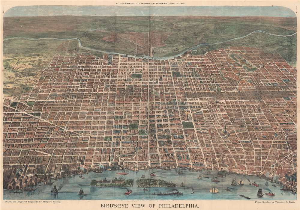
1872 Harper's Bird's-Eye View of Philadelphia, Pennsylvania
Celebrating Ulysses S. Grant's second nomination for the Presidency.
$950.00

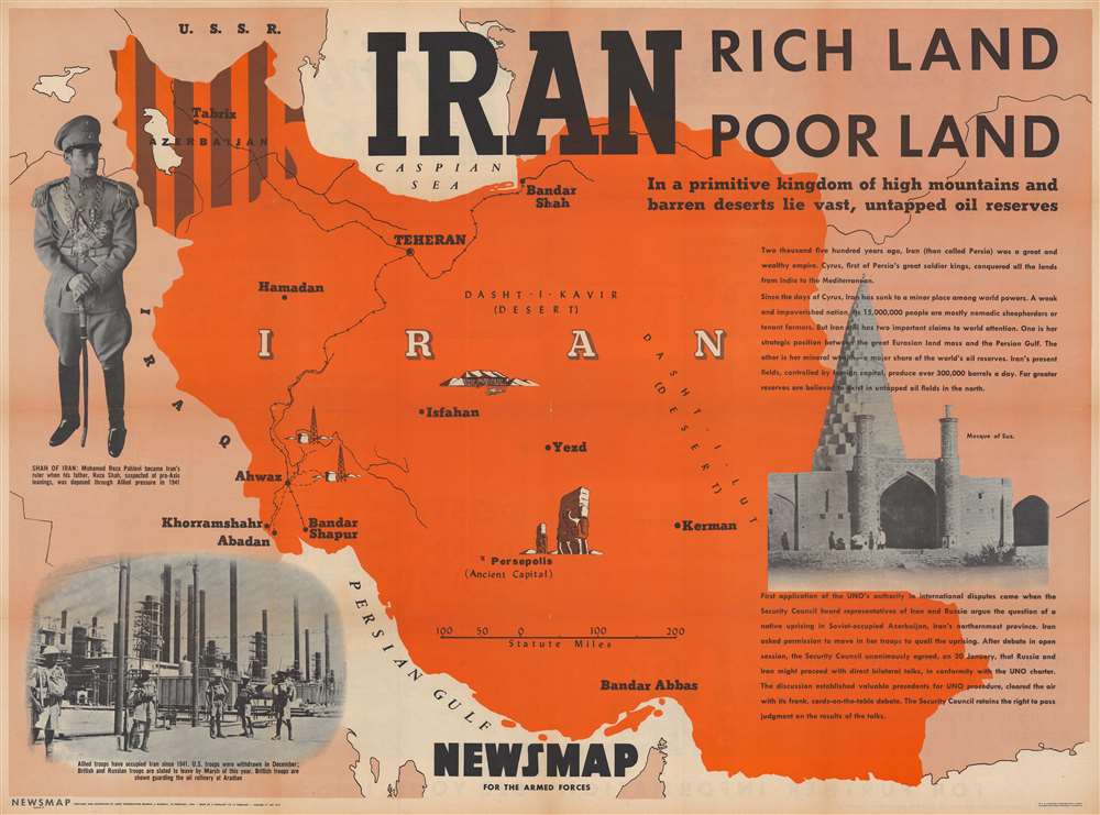
1946 Army Information Branch Pictorial Wall Map of Iran
American priorities: oil before disputes.
$550.00

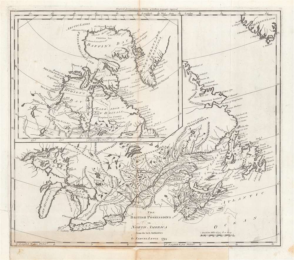
1794 Carey / Lewis Map of Canada
Britain's remaining North American colonies.
$450.00

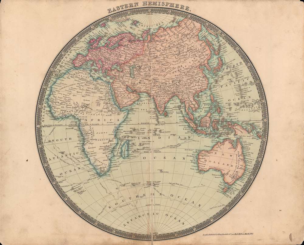
1831 Dower / Teesdale Map of the Eastern Hemisphere
A beautiful map of the Eastern Hemisphere.
$250.00

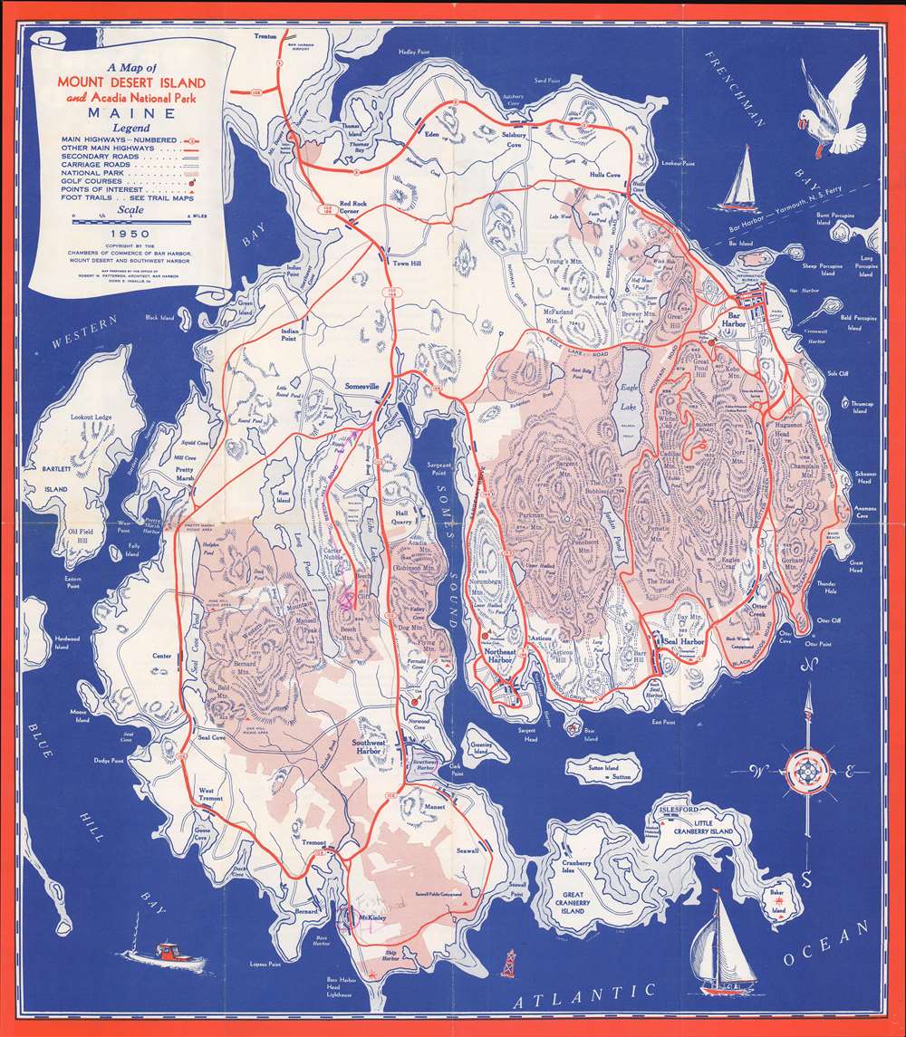
1950 National Survey Company Map of Mount Desert Island, Maine
'Rusticators' become 'Tourists'.
$250.00

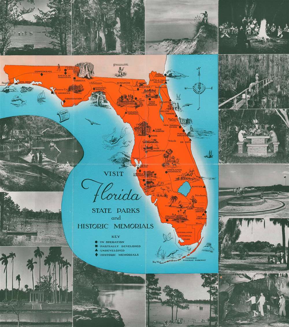
1970 Pictorial Tourist Map of Florida
Highlights Florida's state parks and historic memorials.
$200.00

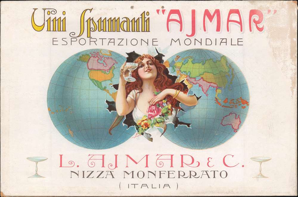
1910 Vini Spumanti Ajmar Art Nouveau World Map Wine Advertising Broadside
Striking Art Nouveau wine advertisement.
$1,200.00

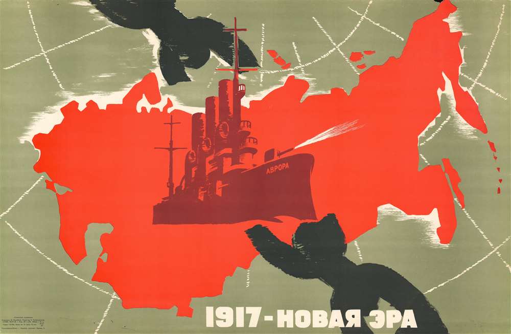
1967 Vorobyov Cold War Soviet Propaganda Broadside of the Soviet Union
50th anniversary of the Russian Revolution.
$950.00

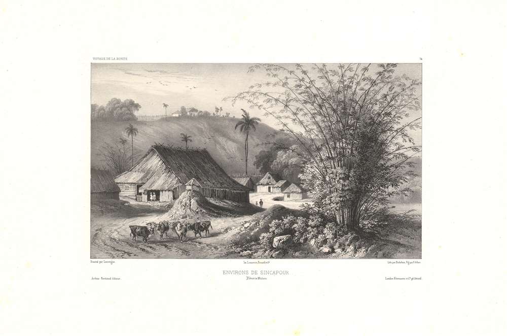
1845 Lauvergne View of Singapore near the Straits of Malacca
A pleasant pastoral view of early Singapore.
$700.00

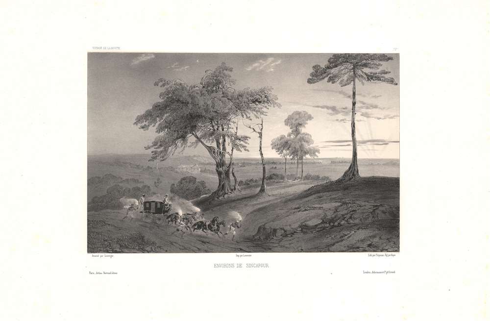
1845 Lauvergne View of Singapore Countryside
Victorian pastoral aesthetics in the tropics.
$700.00

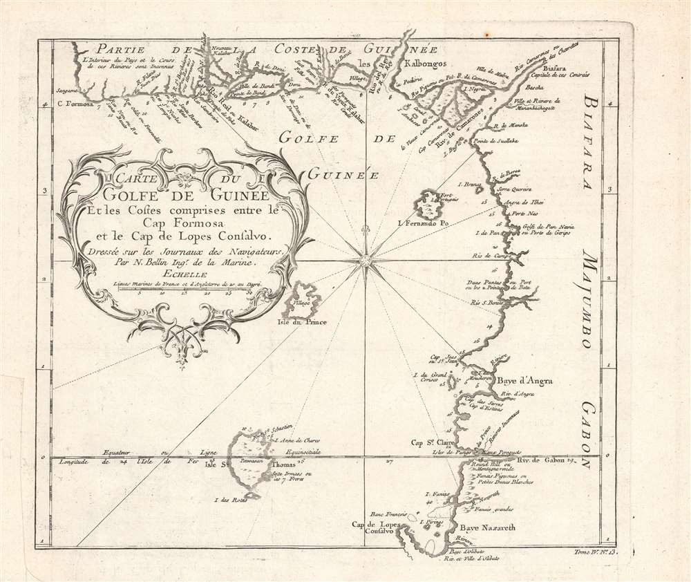
1754 Bellin Map and Chart of the Gulf of Guinea
Mapping the Transatlantic Slave Trade.
$200.00

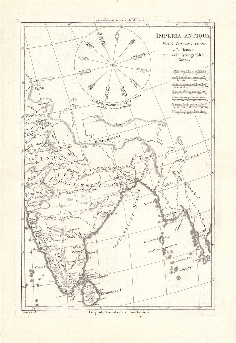
1787 Bonne Map of Ancient India in the Time of Alexander the Great
The last of Alexander's conquests.
$175.00

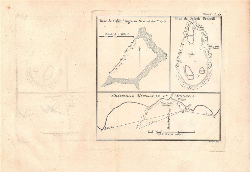
1774 Benard / Carteret Maps and Charts of the Admiralty Islands
Early maps of features in the western Pacific.
$125.00

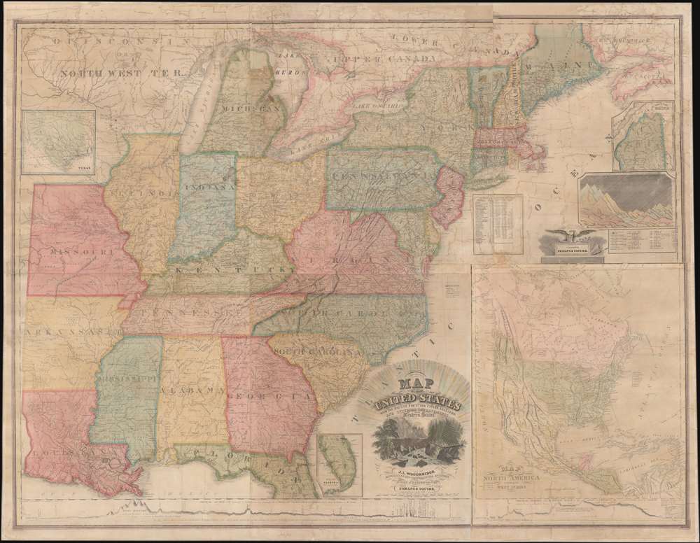
1836 Woodbridge Wall Map of the United States w/ Republic of Texas
The founding of the Republic of Texas.
$7,500.00