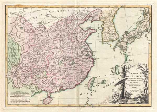
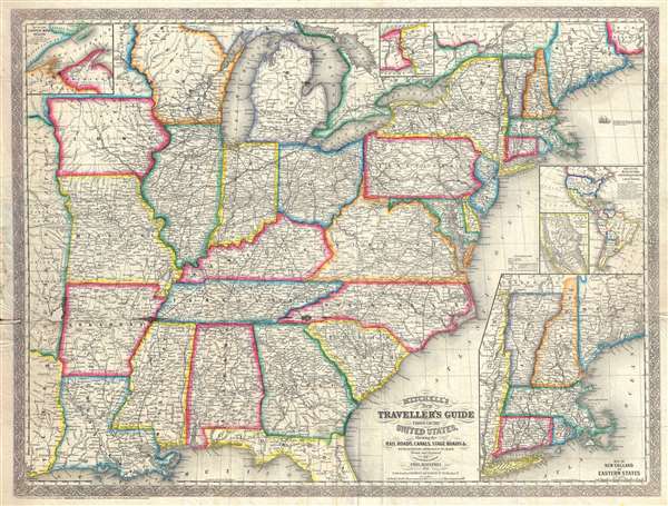
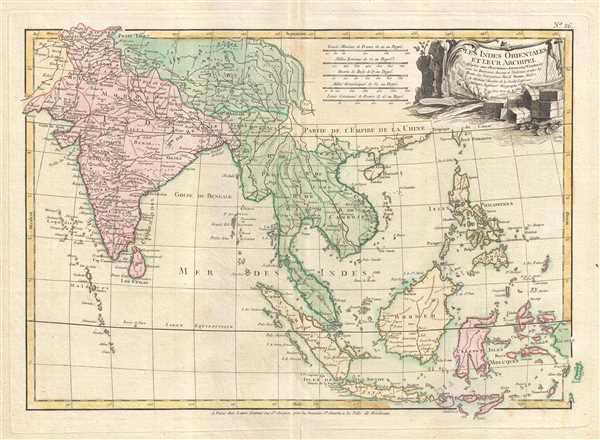
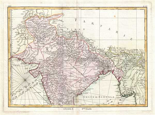
Most recently added antique and rare maps as of 7/1/2025.
1849 Mitchell Map of Denmark
Denmark including the Duchy of Holstein from the last edition of Mitchell's New Universal Atlas.
$150.00

1835 Williams Map of a Proposed Route for Canal Between Lakes Erie and Ontario
Niagara Falls! A fifth potential route for the canal - requested by a committee from Lockport, N.Y.
$450.00

1756 Homann Heirs Map of the Strait of Gibraltar
Homann Heirs map of the Strait of Gibraltar from an unusual southern orientation.
$550.00

1926 U.S. Coast and Geodetic Survey Map of Puerto Rico and the Virgin Islands
Details survey work completed around Puerto Rico and the U.S. Virgin Islands
$175.00

1960 Hoursch and Bechstedt Panorama Map of the Course of the Rhine River
Bilingual tourist map of the Rhine with incredible views of medieval ruins.
$300.00

1786 Bertheault Map of the Catacombs of Syracuse, Italy
Charming illustration of the ancient catacombs below Syracuse, Italy.
$350.00

1720 Set of 3 Consecutive Italian Navigation Manuscript Pages
Three extraordinary 18th century navigation manuscript pages discussing astronomical problems.
$350.00

1720 Italian Navigation Manuscript w/ Global Motion Diagrams
Incredible 18th century navigation manuscript explaining the center of the Earth and its axis.
$350.00

1720 Italian Navigation Manuscript w/ Global Positioning Maps
Detailed 18th century navigation manuscript defining horizons and the Equator.
$350.00

1884 Sargent Arboreal Map of North America Depicting California Redwood Trees
The ranges of cedar, giant sequoia, and California redwood trees in North America.
$300.00

1771 Bonne Map of Languedoc and Roussillon, France
The Languedoc wine region featuring Montpellier, Nimes, and Carcassonne! Also depicts the Camargue, one of the few European habitats for flamingos!
$200.00

1771 Bonne  Map of Isle de France (vicinity of Paris), France
Includes the cities of Versailles, Chartres, Orléans, and Amiens.
$200.00

1771 Bonne Map of France
Beautiful map of pre-revolutionary France.
$175.00

1825 Tanner Map of Asia
Includes an intriguing depiction of the Philippines with exaggerated mapping of the Cagayan River!
$750.00

1720 Italian Navigation Manuscript w/ Temperature Maps
Amazing 18th century navigational manuscript discussing climate.
$395.00

1770 Bonne Map of China, Korea, Japan and Formosa
East Asia at the end of the 18th century, just prior to pan-Asian opening to European trade.
$450.00

1857 Desilver Pocket Map of the United States
Rare Pre-Civil War Map of the United States illustrating California Gold Region.
$800.00

1778 Bonne Map of India, Southeast Asia and The East Indies (Thailand, Borneo)
Wonderful early map of South and Southeast Asia.
$400.00

1770 Bonne Map of Northern India, Burma and Pakistan
Amazing old color map of India depicting Goa.
$250.00