Most recently added antique and rare maps as of 7/3/2025.
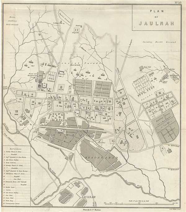
The town of Jalna in Maharashtra India during British rule.
$175.00
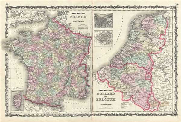
Johnson's double map of Holland, Belgium and France.
$100.00
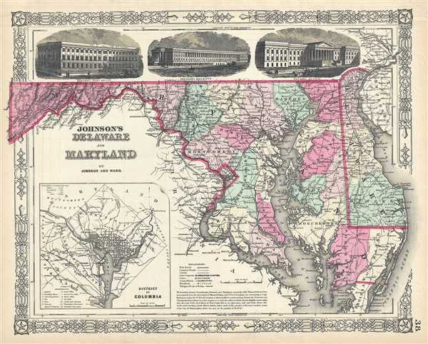
The most decorative editions of Johnson's Maryland-Delaware series.
$150.00
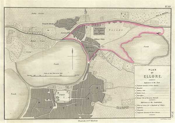
Lovely depiction of the town of Eluru, India under British control.
$200.00
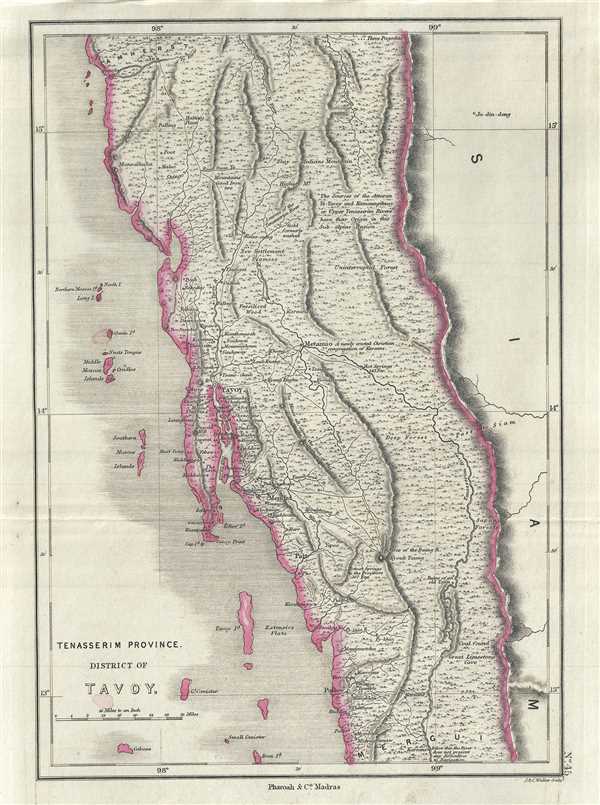
Beautiful map of the northern Tanintharyi Region of Burma or Myanmar.
$250.00
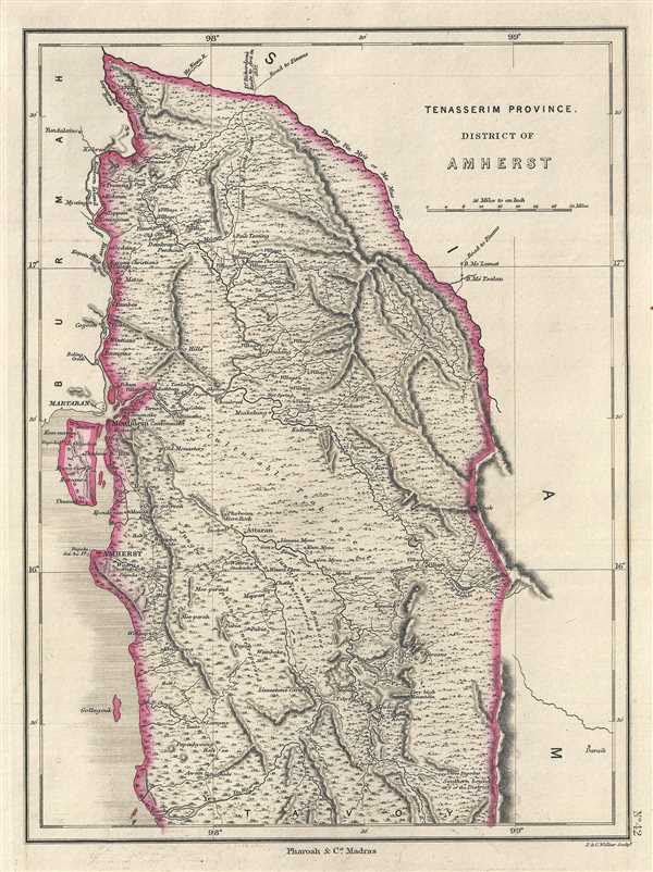
The region of Amherst in Myanmar (Burma) during British rule.
$250.00
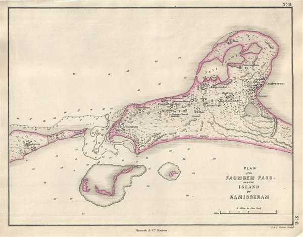
19th century map of Rameswaram Island, important hindu pilgrmiage destination and the starting point of the mythical Rama's Bridge.
$250.00
19th century map of the princely state of Hyderabad during British rule.
$250.00
Map of part of the Amravati division of Maharashtra, India under the rule of the Nizam of Hyderabad.
$250.00
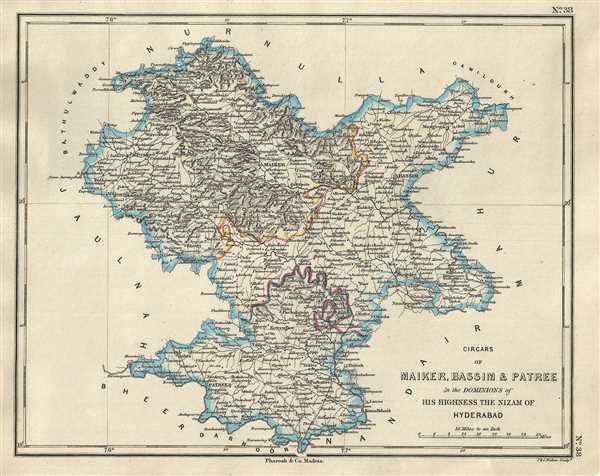
19th century map of the divisions of the princely state of Hyderabad during British rule.
$250.00
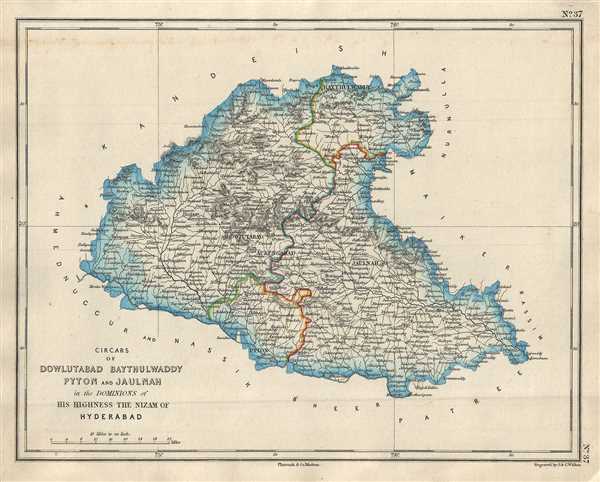
Map of the Jalna and Aurangabad districts of Maharashtra, home to the ancient Ajanta and Ellora caves.
$250.00
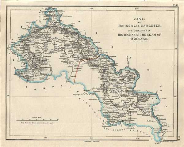
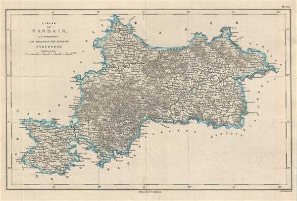
Map depicting the dominions of the Nizam of Hyderabad in parts of Maharashtra and Telangana, India.
$250.00
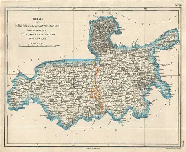
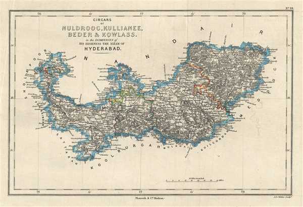
Map of the dominions of the Nizam of Hyderabad when India was under British control.
$250.00
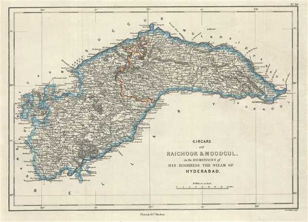
19th century map of the princely state of Hyderabad during British rule.
$250.00
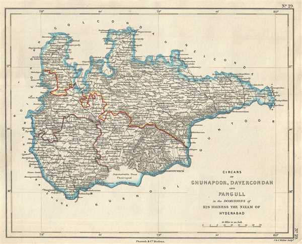
19th century map of the princely state of Hyderabad during British rule.
$250.00
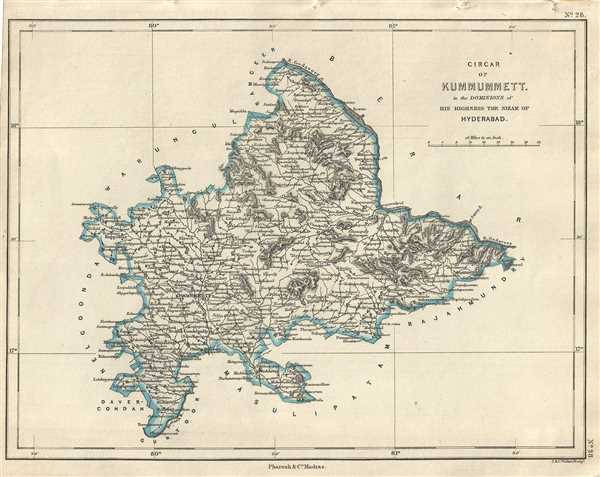
Map of the Khammam province of the princely state of Hyderabad, India.
$250.00
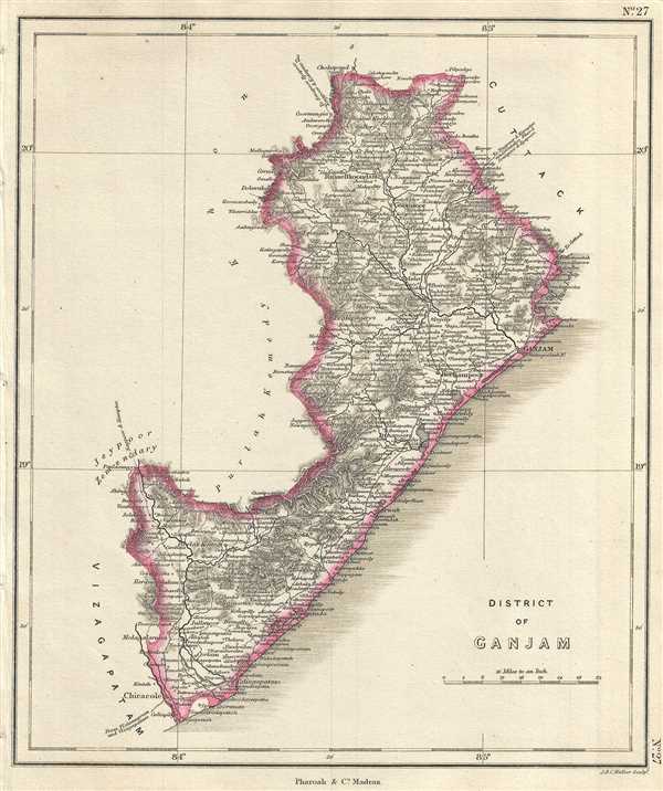
Map of the Ganjam District, part of British India's Madras Presidency.
$250.00
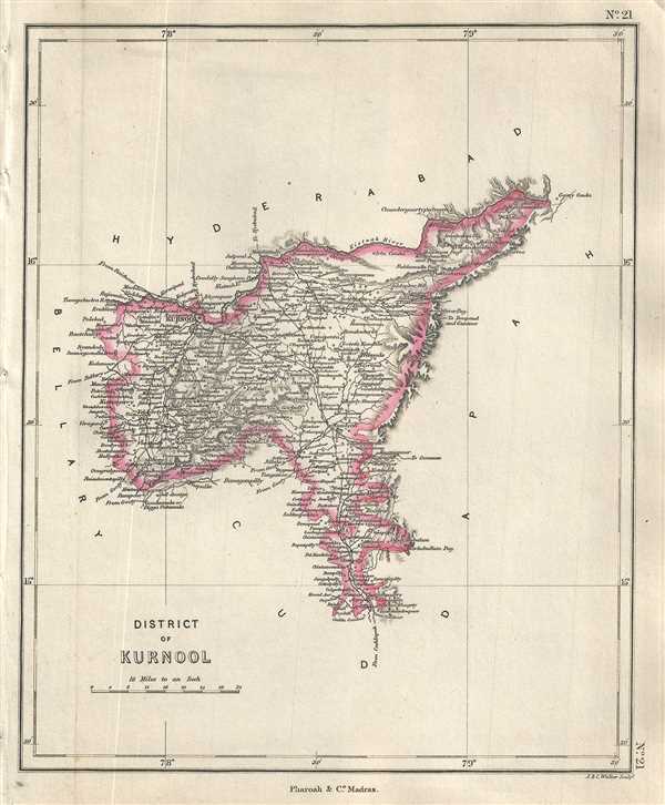
Pharoah and company map of the Kurnool district in the Indian state of Andhra Pradesh.
$250.00
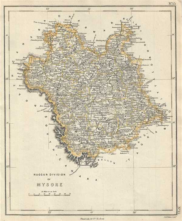
Map of modern day Shimoga District and surroundings, Karnataka, India.
$250.00

