
Pacific Railroad Surveys (sold)

The Pacific Railroad Surveys (1853 - 1855) were established in 1853 with the goal of identifying the best possible routes for a transcontinental railroad from the Mississippi to the Pacific. The need for transcontinental railroad made itself evident shortly after the California Gold rush when the westward expansion was at its heights. The federal government, acting under the Sectary of War, Jefferson Davis (of Civil War fame), initiated a series of expeditions of the western territories. These expeditions included surveyors, cartographers, artists, zoologists, botanists and geographers. The resultant work, a 12 volume compendium entitled Reports of Explorations and Surveys, to ascertain the most practicable and economical route for a railroad from the Mississippi River to the Pacific Ocean eventually led to the constructions of several different transcontinental railroads.
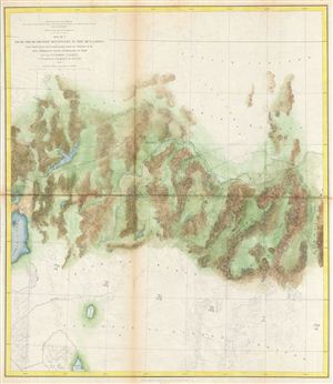
Map No. 3 From the Humboldt Mountains to the Mud Lakes, from Explorations and Surveys made under the direction of the Hon. Jefferson Davis Secretary of War by Capt. E. G. Beckwith 3rd Artillery F. W. Egloffstein Topographer for the Route 1855.
sold
- Digital Map Information
- Suitable for large format printing
- File Size: 11.56 MB
- File Type: ZIP / TIFF
- ICC color profile embedded
- Delivered instantly via download link
This is a rare and important 1855 map of parts of Nevada prepared for the Pacific Railroad Survey . This map covers from the Humboldt Mountains (West Humboldt Range), at the western end of the Great Basin, westward was far as Pyramid Lake and the Mud Lakes. ... (more details)
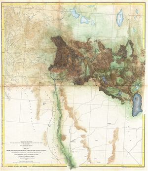
Explorations and Surveys for a Rail Road Route from the Mississippi River to the Pacific Ocean. War Department. Route near the 41st Parallel. Map No. 4. From the Mud Lakes to the Pacific Ocean; from Explorations and Surveys made under the direction of the Hon. Jefferson Davis Secretary of War.
sold
- Digital Map Information
- Suitable for large format printing
- File Size: 13.05 MB
- File Type: ZIP / TIFF
- ICC color profile embedded
- Delivered instantly via download link
This is a rare and important 1855 map of parts of California prepared for the Pacific Railroad Survey . Covers from Pyramid Lake to the Sacramento River. Extends north to the California border and south as far as Fremont and Marysville. Offers superb ... (more details)
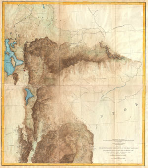
Explorations and Surveys for a Rail Road Route from the Mississippi River to the Pacific Ocean. War Department. Route near the 41st Parallel. Map No. 1 From the Valley of the Green River to the Great Salt Lake; from Explorations and Surveys made under the direction of the Hon. Jefferson Davis, Secretary of War.
sold
- Digital Map Information
- Suitable for large format printing
- File Size: 7.66 MB
- File Type: ZIP / TIFF
- ICC color profile embedded
- Delivered instantly via download link
This is a rare and important 1855 map of parts of Utah and Wyoming prepared for the Pacific Railroad Survey . Covers from the Great Salt Lake eastward to the Green River Valley and Brown's Hole. Extends southward as far as Fillmore and northward as ... (more details)
Reconnoitering the Northern Rockies.
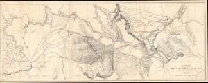
Milk R. to the crossing of the Columbia R.
sold
- Digital Map Information
- Suitable for large format printing
- File Size: 97.68 MB
- File Type: ZIP / TIFF
- ICC color profile embedded
- Delivered instantly via download link
A remarkable, large-format map of central Montana, with portions of northern Idaho and eastern Washington, prepared by Isaac Stevens as part of the expedition he led through the territory in 1853 - 1855 to scout out a potential transcontinental railroad route. When produced, due to its size and detail, it was the most complete map of these lands to date. (more details)