
Pritchett, Henry Smith (sold)
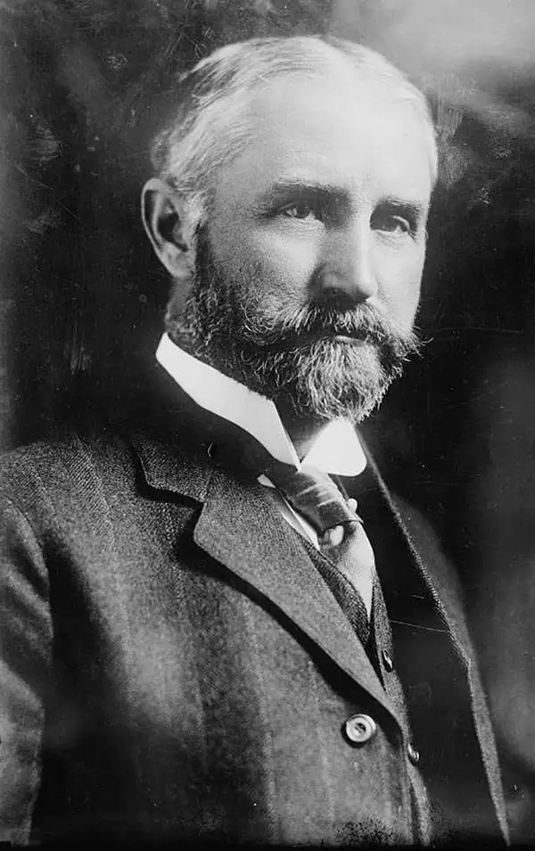
Henry Smith Pritchett (April 16, 1857 - August 28, 1939) was an American astronomer and educator. Born in Fayette, Missouri, Pritchett attended Pritchett College in Glasgow, Missouri and graduated with a B.A. in 1875. He then spent two years at the U.S. Naval Observatory under the tutelage of Asaph Hall, after which he became an assistant astronomer. He returned to Glasgow in 1880 for a job at the Morrison Observatory, where his father was the director. In 1882, Pritchett served as an astronomer on the Transit of Venus Expedition to New Zealand, and was appointed as a professor of mathematics and astronomy at Washington University in St. Louis upon his return in 1883. While at Washington University, Pritchett also served as the director of the observatory. Pritchett studied in Germany in the early 1890s and earned a PhD from the University of Munich in 1894. From December 1, 1897 until November 30, 1900, Pritchett was the Superintendent of the U.S. Coast and Geodetic Survey, and then was president of the Massachusetts Institute of Technology (MIT) from 1900 until 1906. After leaving MIT, Pritchett served as the president of the Carnegie Foundation for the Advancement of Teaching from 1906 until he retired in 1930.
Labels a resort hotel - Neptune House.
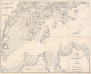
Long Island Sound. New Rochelle to Throgs Neck. New York.
sold
- Digital Map Information
- Suitable for large format printing
- File Size: 83.48 MB
- File Type: ZIP / TIFF
- ICC color profile embedded
- Delivered instantly via download link
This is an 1899 U.S. Coast and Geodetic Survey nautical map of part of Long Island Sound from Throgs Neck to New Rochelle. (more details)
Best Saltwater Fishing in Mississippi.
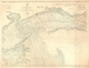
Coast Chart No. 190 Mississippi Sound Western Part Round Island to Grand Island.
sold
- Digital Map Information
- Suitable for large format printing
- File Size: 76.24 MB
- File Type: ZIP / TIFF
- ICC color profile embedded
- Delivered instantly via download link
A scarce, unrecorded 1900 (c. 1906) edition of the U.S. Coast and Geodetic Survey chart of the western part of the Mississippi Sound. While charts of the Gulf Coast generally are not uncommon, very few address this part of the Mississippi Sound with such detail, giving this chart a unique focus on a favored fishing haunt. (more details)
One of the first atlases of the Philippines - created under the direction of a Jesuit priest.
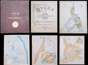
Atlas de Filipinas Colección de 30 Mapas. / Special Publication No. 3 Atlas of the Philippine Islands.
sold
This is a 1900 José María Algué atlas of the Philippines. The atlas consists of twenty-four maps of the Philippines and one map of the Pacific. Each map depicts a different aspect of the archipelago. Some of the maps in the atlas include an ethnographic and an ... (more details)
A beautifully engraved separate issue U.S. Coast and Geodetic Survey nautical chart of Beaufort Harbor and environs.
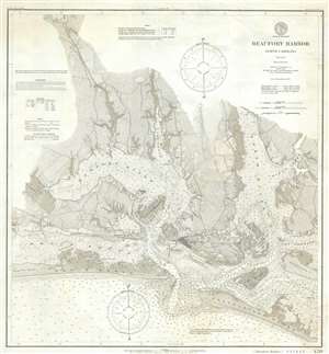
Beaufort Harbor North Carolina.
sold
- Digital Map Information
- Suitable for large format printing
- File Size: 18.22 MB
- File Type: ZIP / TIFF
- ICC color profile embedded
- Delivered instantly via download link
This is a separate issue 1900 U.S. Coast and Geodetic Survey map of Beaufort Harbor, North Carolina. The map depicts the region from Hoop Ole Woods and The Narrows to Ward Creek and Harker's Island and from Clubfoot Creek to Shackleford Banks and the Atlantic ... (more details)
Transiting the Florida Straits.
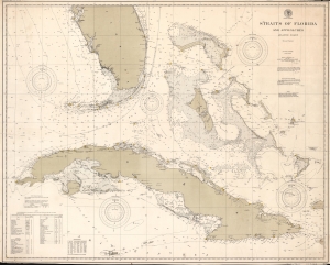
Straits of Florida and Approaches. Atlantic Coast.
sold
- Digital Map Information
- Suitable for large format printing
- File Size: 126.08 MB
- File Type: ZIP / TIFF
- ICC color profile embedded
- Delivered instantly via download link
This is a 1900 U.S. Coast and Geodetic Survey nautical map of the Southern Florida, Cuba, and the Bahamas. Focusing on the Straits of Florida, channels, banks, and other features are labeled. A dotted line highlights the Gulf Stream. Countless depth soundings appear throughout. Yellow dots mark lights in the Florida Keys, Cuba, and the Bahamas. Information concerning lights and Gulf Stream currents is included in the lower left corner. (more details)