
Schnell, Edward (sold)
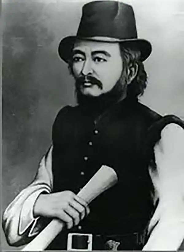
Edward Schnell (c. 1834 - c. 1890) was a Dutch/German arms dealer active in Japan during the middle part of the 19th century/. He traveled there with his brother Henry Schnell following the enforced opening of Yokohama to foreign trade. Edward, who in the 1850s had served in the Prussian Army and spoke Malay, must have arrived in Japan around 1860 and took a Japanese wife. Kawai Tsugonusuke, with whom he had a boy and purchased property, 'Lot No. 44,' in Yokohama. He teamed up with the Swiss watch dealer Perregeux presumably until 1867. Edward and Henry Schnell also served the Aizu domain as military advisors and procurer of weaponry. Edward was granted the Japanese name Hiramatsu Buhei, which inverted the characters of the daimyo's name Matsudaira. Hiramatsu (Schnell) was given the right to wear swords, as well as a residence in the castle town of Wakamatsu, a Japanese wife (the daughter of a Shonai-han retainer), and retainers. In many contemporary references, he is portrayed as wearing a Japanese kimono, overcoat, and swords, with Western riding trousers and boots.
Map that led to the lifetime imprisonment of its maker.
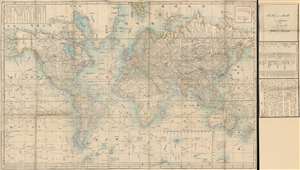
Bankoku Kōkai-zu / 萬国航海圖 / World Navigational Map.
sold
- Digital Map Information
- Suitable for large format printing
- File Size: 120.21 MB
- File Type: ZIP / TIFF
- ICC color profile embedded
- Delivered instantly via download link
An important 1862 Bunkyu 2 world map, the product of a clash of Japanese and European cultures and the end of Tokugawa isolationism that lead to the lifelong imprisonment of one of its makers. Centered on Europe, this enormous map covers the entire world on a Mercator Projection, marking it as one of the first Japanese maps to use this western projection model. The map illustrates trade routes from Japan to England, passing through the Malacca Straits and the Red Sea. Major exploratory routes followed by Cook and others, drawn from the Purdy map, are also included. The map is accompanied by its usual side panel with Schnell's manuscript 'Yokohama February 1862' imprint. (more details)
A clash of cultures.
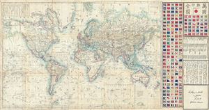
Bankoku Kōkai-zu / 萬国航海圖 / World Navigational Map.
sold
- Digital Map Information
- Suitable for large format printing
- File Size: 9.32 MB
- File Type: ZIP / TIFF
- ICC color profile embedded
- Delivered instantly via download link
A remarkable 1862 Yokohama Published Japanese large format Japanese map of the world by Edward Schnell and Kango Takeda. This map is based upon an English map drown by John Purdy and others in 1845. Kango Takeda published a Japanese version of the chart in ... (more details)
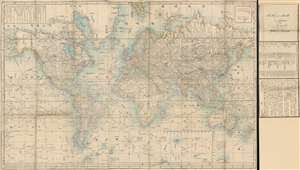
Bankoku Kōkai-zu / 萬国航海圖 / World Navigational Map.
sold
- Digital Map Information
- Suitable for large format printing
- Full resolution TIFF file
- ICC color profile embedded
- Delivered instantly via download link
This is a remarkable 1862 Yokohama Published Japanese large format Japanese map of the world by Edward Schnell and Kango Takeda. This map is based upon an English map drawn by John Purdy and others in 1845. Kango Takeda published a Japanese version of the ... (more details)