
Bure, Anders (sold)
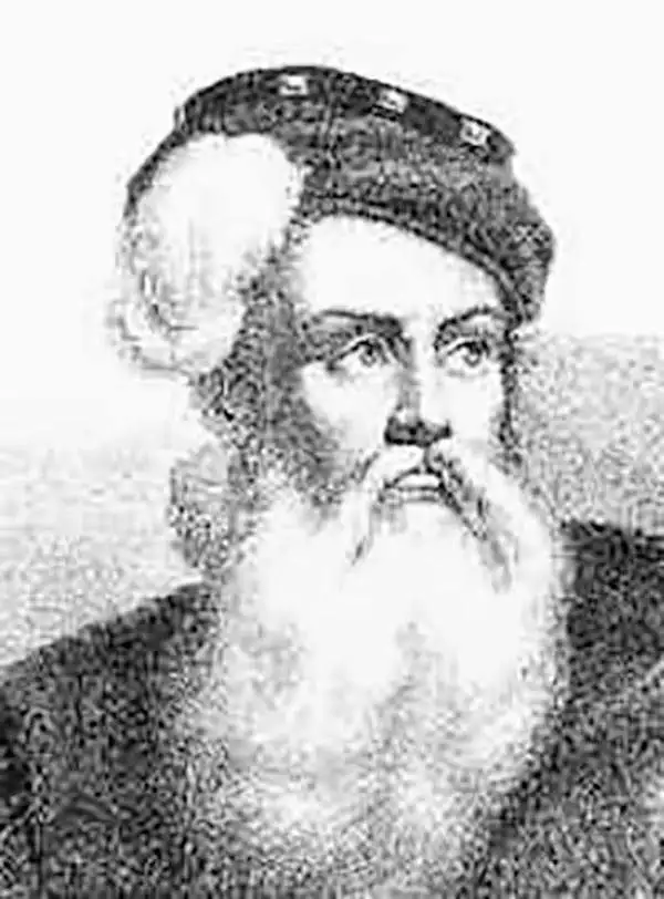
Anders Bure (August 14, 1571 - February 4, 1646) was a Swedish mathematician and cartographer. He is considered the father of Swedish cartography. He was the son of the parish priest Engelbertus Laurentii and Elisabeth Andersdotter Burea, descendant of the long-established Bureätten family. His immediate family included diplomats and government officials. His education is obscure, though he is mentioned as an office clerk in 1602. His duties in the following years involved recording royal genealogical and historical works, involving him in the highest echelons of Swedish society. He also participated in diplomatic assignments, including missions to both Russia and Finland. His cartographic contributions improved the mapping both of the northern parts of Sweden, and the kingdom as a whole. His six-sheet 1626 Orbis Arctoi represented the first real improvement to the mapping of the northern parts of Europe since the Olaus Magnus map of the previous century: this map would provide the basis for virtually every European map of Scandinavia to follow in the 17th century. In addition to these achievements, he was the first person recorded to use the decimal system in Sweden.
Attractively Engraved Map of the Northern Part of Europe.
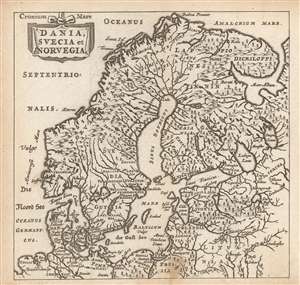
Dania, Suecia et Norvegia.
sold
- Digital Map Information
- Suitable for large format printing
- Full resolution TIFF file
- ICC color profile embedded
- Delivered instantly via download link
This is a finely-engraved miniature map of Scandinavia, printed in a 1661 Elzevir edition of Philipp Cluver's introduction to geography, appearing in editions produced by many different houses, and with maps of wildly differing characteristics. This map follows the model of Swedish mathematician and cartographer Anders Bure, whose 1624 map of Scandinavia - the first geodetically correct map of the region - provided the basis for virtually every general map of the region, including those by Goos, Hondius, and Blaeu, from whose work this one is almost certainly derived. (more details)
Cartouche to the doomed Emperor Charles XII.
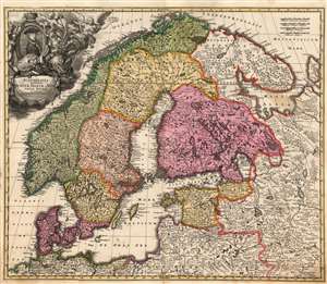
Scandinavia complectens Sueciae, Daniae et Norvegiae Regna ex tabula Joh Bapistae Homanni.
sold
- Digital Map Information
- Suitable for large format printing
- Full resolution TIFF file
- ICC color profile embedded
- Delivered instantly via download link
This is Johann Baptist Homann's 1716 map of Scandinavia, bringing the dominant 17th century mapping of the northern parts of Europe up-to-date with the events of the Great Northern War (1700 - 1721). The map is based primarily on Anders Bure's 1626 mapping of the region, which became the state of the art of the mapping of Scandinavia and was replaced as an authority for more than a century. In this regard, Bure is hailed as the Father of Swedish Cartography. The scope of the map includes Denmark, Norway, the greater Swedish Empire, the Baltic coasts of Germany, Poland and Livonia, and the Russian Empire - including 'Lapponia Moscovitica,' the portions of Lapland occupied by Russia. (more details)
The Swedish Empire, Crumbling.
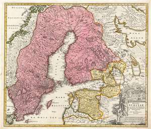
Regni Sueciae in omnes suas Subjacentes Provincias accurate divisi Tabula Generalis edita à Ioh. Bapt. Homanno Noribergae.
sold
- Digital Map Information
- Suitable for large format printing
- Full resolution TIFF file
- ICC color profile embedded
- Delivered instantly via download link
This is Johan Baptist Homann's map of the Kingdom of Sweden, bringing what was the dominant mapping of Sweden and its neighbors up-to-date with the events of the Great Northern War. Homann starts - almost certainly - with Frederic de Wit's 1680 Regni Sueciae but adds detail and placenames that did not exist prior to the 1700–1721 Great Northern War between Sweden and Russia, and particularly before the 1703 capture of the island of Kotlin by Russia from Sweden, the 1703 Russian capture of Nyenskans, and the foundation of the city of St. Petersburg. Also marked is the town of Schlisselburg, formerly Oreshek, which was captured by Russia in 1702 and renamed by Peter the Great during his administrative reforms. An earlier iteration of this map appearing in a 1716 example of the Atlas Novus includes Petersburg and Kronschloss (formerly Kotlin) but does not name Schlüsselburg. That placename would be included in Ingermanland Governorate in 1710 and would in 1727 become part of Sankt-Petersburgsky Uyezd. Many city names have been underlined in an old hand, and, in some cases, placenames have been added. For example, the Finnish city of Wekelax (Veckelax) has had inscribed above it the name 'Fridrichsham.' The city, as originally named on the map, had been burned by the Russians in 1712. Following the peace of 1721, the city was rebuilt, and renamed after Sweden's new King Frederick I. (more details)