
Candrian, Hermon Anton (sold)

Hermon Anton Candrian (March 28, 1852 - November 28, 1928), commonly publishing as H. A. Candrian, was a Swiss-American map publisher active in San Francisco in the first half of the 20th Century. Candrian was born in Bonaduz, Graubünden, Switzerland. It is unclear when he emigrated to the United States, but he working as an insurance agent in Seattle around 1900 and by 1905 had relocated to San Francisco. From at least 1906, his wife, Bertha Wilhemina Candrian (née Harry; 1862 - 1944), drafted many of his maps. Candrian’s works focus heavily and tourist and railway guides to the city of San Francisco and the general Bay Area.
Scarce mapping of Oakland. Outlines the Fire District in San Francisco.
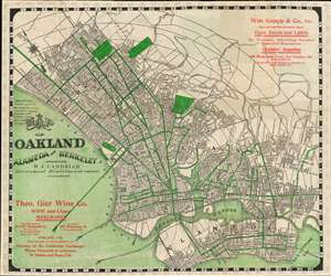
Map of Oakland Alameda and Berkeley. / Map of the City and County of San Francisco.
sold
- Digital Map Information
- Suitable for large format printing
- Full resolution TIFF file
- ICC color profile embedded
- Delivered instantly via download link
This is a 1906 Hermon Candrian city maps or plans of Oakland / Berkeley and San Francisco, California, published shortly after the disasterous 1906 San Francisco Earthquake. Depicting Berkeley, Oakland, and Alameda on one side and San Francisco on the other, green lines trace streetcar routes in all four cities. Green also highlights the University of California Berkeley, the Deaf, Dumb, and Blind Asylum, and the St. Mary's, Jewish, and Mountain View Cemeteries. The Key Route, the Southern Pacific mainline, and the Coast Line narrow gauge all cross San Francisco Bay west toward San Francisco. An advertisement for Theodore Gier Wine Company of Oakland appears in the lower-left corner. At the same time, an ad for William Knapp and Company, an importer and manufacturer's agent, occupies the upper right. In San Francisco, the Presidio Reservation, Golden Gate Park, the Alms House, and numerous parks, squares, and cemeteries are also shaded green. An advertisement for the Sutter Home Wine and Distilling Company, which still exists today, is situated in the upper right corner. (more details)
Uncommon map of San Mateo on verso.
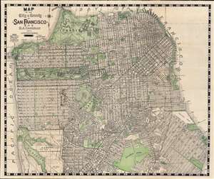
Map of City and County of San Francisco. / Map of San Mateo.
sold
- Digital Map Information
- Suitable for large format printing
- Full resolution TIFF file
- ICC color profile embedded
- Delivered instantly via download link
This is an appealing 1929 map of San Francisco and San Mateo, California, by Hermon Anton Candrian and Davenport Bromfield. Candrain published maps from the early 1900s through the 1935s. Although his maps of San Francisco are universally pleasing to the eye and well made, Candrian maps are of greater interest for their verso content, which often feature excellent maps of generally underserved parts of the Bay Area - in this case San Mateo. (more details)
Beautiful map of San Francisco made in the same year as the 1906 San Francisco Earthquake.
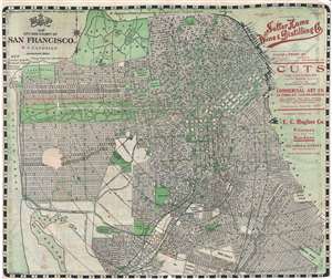
Map of City and County of San Francisco.
sold
- Digital Map Information
- Suitable for large format printing
- File Size: 12.57 MB
- File Type: ZIP / TIFF
- ICC color profile embedded
- Delivered instantly via download link
This is an appealing 1906 pocket map of San Francisco, California, by H. A. Candrian. Issued in the same year as the 1906 San Francisco earthquake which destroyed a majority of the city, this map covers from Presidio Park as far south as McLaren Park and the Laguna ... (more details)
East Bay Expansion.
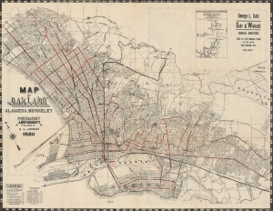
This is a 1920 H. A. Candrian and Bertha Wilhemina Candrian map of the cities of Oakland, Berkeley, Alameda, and surrounding communities in the East Bay of the San Francisco Bay Area. It demonstrates the rapid development of the East Bay at this time, including new residential developments, public transportation, and hydrological infrastructure. It is, moreover, one of the few maps of the era to have been drafted by a woman - H. A. Candrian's wife, Bertha Wilhemina. (more details)
San Francisco in the heyday of streetcars.
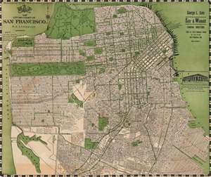
Candrian's official double indexed street number guide : with car-o-grams and maps of San Francisco, Daly City...
sold
- Digital Map Information
- Suitable for large format printing
- Full resolution TIFF file
- ICC color profile embedded
- Delivered instantly via download link
This is an appealing c. 1920 map of San Francisco, San Mateo, and other nearby communities in the Bay Area, California, by Hermon Anton Candrian and Davenport Bromfield. It illustrates San Francisco following its recovery from the devastating 1906 earthquake and fire and its gradual expansion to the south and west. (more details)
Art deco plan of San Francisco.
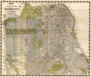
Map of the City & County of San Francisco.
sold
- Digital Map Information
- Suitable for large format printing
- File Size: 28.19 MB
- File Type: ZIP / TIFF
- ICC color profile embedded
- Delivered instantly via download link
An appealing 1932 art deco style pocket map of San Francisco, California, by H. A. Candrian. Issued just prior to World War II this map covers the city from Presidio Park as far south as McLaren Park and the Laguna de la Merced. The map names all major and minor ... (more details)
San Francisco and San Mateo: Streetcars and Fabulous Estates.
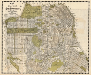
Map of the City and County of San Francisco. / Map of San Mateo and Burlingame.
sold
- Digital Map Information
- Suitable for large format printing
- Full resolution TIFF file
- ICC color profile embedded
- Delivered instantly via download link
This is an appealing c. 1932 map of San Francisco and San Mateo, California, by Hermon Anton Candrian and Davenport Bromfield. (more details)