
Chung Hwa Book Company (sold)
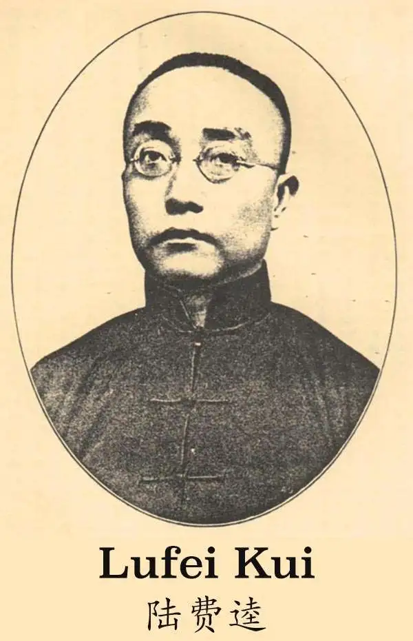
Chung Hwa Book Company (中華書局有限公司; 1912 – Present), also known as the Zhonghua Book Company, is a Chinese publishing house founded in Shanghai on January 1, 1912 by Lufei Kui (陸費逵, September 17, 1886 – July 9, 1941). Lufei was formerly employed by the Commercial Press (商务印书馆有限公司), another important Shanghai publishing instruction active from about 1897. The firm attained considerable prominence establishing subsidiaries in Singapore in 1923, Hong Kong in 1927, and Taipei in 1949. Many of these subsidiaries eventually spit off from the original company or were acquired by other firms. The parent firm is currently located in Beijing and trades as the Zhonghua Book Company.
First official Bi-Lingual Map of Singapore issued after Malaysian Independence.
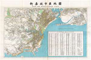
Map of Singapore City. / 新嘉坡市區地圖
sold
- Digital Map Information
- Suitable for large format printing
- File Size: 39.44 MB
- File Type: ZIP / TIFF
- ICC color profile embedded
- Delivered instantly via download link
This is an extremely rare large format 1958 first edition map of Singapore in Chinese and English. Being published just one year after the 1957 Treaty of London recognized the independence of the Federation of Malaysia – which then included Singapore - and in the year that Singapore formally attained internal self-governance. The political transition led to a wave of new bi-lingual publications as English was no longer the only official language. Maps in multiple languages became a necessity both for functional and administrative use. (more details)
Rare pre-War map of Shanghai by a Chinese owned and operated publishing house.

Latest Map of Shanghai, Pocket Edition. / 袖珍最新上海地圖總圖例
sold
- Digital Map Information
- Suitable for large format printing
- File Size: 43.99 MB
- File Type: ZIP / TIFF
- ICC color profile embedded
- Delivered instantly via download link
A rare map of Shanghai, China, published in 1932 by the Shanghai branch of the Chung Hwa Book Company (中華書局有限公司). The map covers all of the concession areas, including the extra-settlement roads extending far to the west. This is one of the few pre-War maps of Shanghai published by a Chinese firm, as most maps at the time were issued by either British or Japanese interests. Interestingly, as a Chinese map, there is also a large inset in the Shanghai Old City, also called the Chinese City, the roughly circular formerly walled area located just south of the French Concession (purple). The map is scarce, probably owing to it being published in 1932, during or shortly after the January 28 Incident, the beginning of the end of concession era Shanghai. (more details)
Issued as Tibet was being invaded by the PRC.
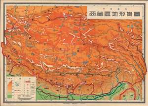
西藏區地形掛圖 / Topographic Wall Map of Tibet.
sold
- Digital Map Information
- Suitable for large format printing
- File Size: 106.69 MB
- File Type: ZIP / TIFF
- ICC color profile embedded
- Delivered instantly via download link
This is a scarce 1950 Chinese wall map of Tibet issued by the Communist Party to propagandize the October 1950 invasion of Tibet by the People's Liberation Army. The large-scale map covers all of Tibet showing terrain, cities, and major transportation networks. It was ostensibly drawn for use in classrooms, but the map is part of a broad effort to generate support for Chinese sovereignty over Tibet as well as to legitimize their claims. (more details)
First official Bi-Lingual Map of Singapore issued after Malaysian Independence.
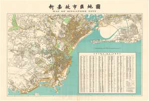
Map of Singapore City. / 新嘉坡市區地圖
sold
- Digital Map Information
- Suitable for large format printing
- File Size: 99.11 MB
- File Type: ZIP / TIFF
- ICC color profile embedded
- Delivered instantly via download link
This is an extremely rare large format 1958 first edition map of Singapore in Chinese and English. Being published just one year after the 1957 Treaty of London recognized the independence of the Federation of Malaysia – which then included Singapore - and in the year that Singapore formally attained internal self-governance. The political transition led to a wave of new bi-lingual publications as English was no longer the only official language. Maps in multiple languages became a necessity both for functional and administrative use. (more details)