
Collinson, Richard (sold)
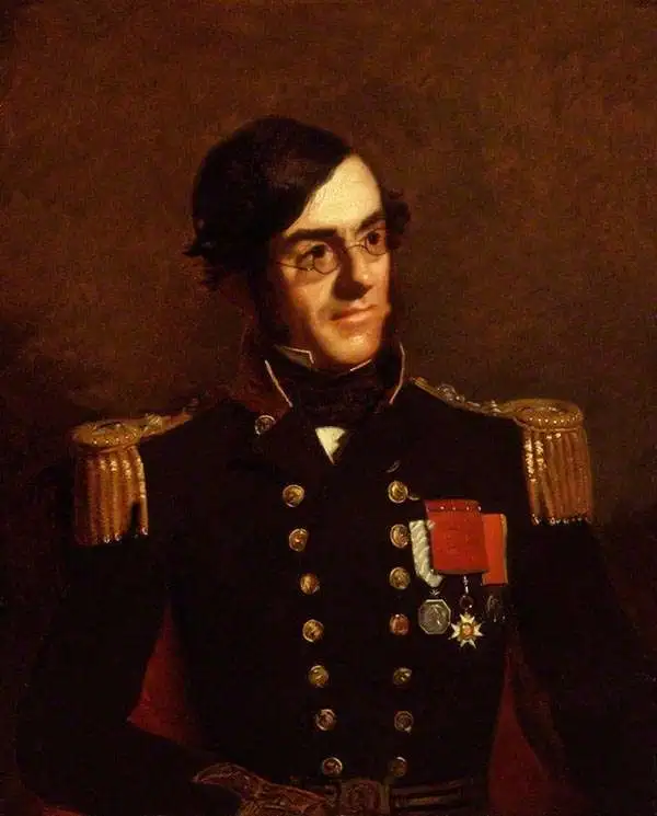
Richard Collinson (November 7, 1811 – September 13, 1883) was an English naval officer, marine surveyor, and Arctic explorer. He was born in Gateshead, Tyne and Wear, England, then part of Durham. He joined the Royal Navy in 1823, at age twelve, and rose in the ranks, becoming a lieutenant in 1835, commander in 1841, and captain in 1842. Collinson was a highly capable captain. He participated with distinction in the First Opium War (1839 - 1842). After the war, along with Commander Henry Kellett, he completed a series of pioneering surveys of the China coast from the Yangtze River to Hong Kong. These he completed between 1842 and 1846 while serving as commander of the HMS Plover. In 1850, he was sent north in command of the HMS Enterprise to search for survivors of the Sir John Franklin expedition. Although he came quite close, he never found Franklin's lost men and returned to England without success. Nonetheless, he was honored by the Royal Geographical Society for his surveys in the Arctic and proof that it was navigable from the Behring Strait to King William's Land. Collinson was Knighted in 1875, the same year in which he retired from active duty with the rand of Admiral. Collinson died in September of 1883.
Fujian and Taiwan from Collinson's seminal hydrographic survey.
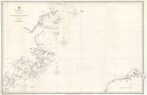
China Sheet V Eastern Coast from Port Matheson to Ragged Point.
sold
- Digital Map Information
- Suitable for large format printing
- DPI: 600
- File Size: 30.62 MB
- File Type: ZIP / TIFF
- ICC color profile embedded
- Delivered instantly via download link
An uncommon 1849 nautical chart or maritime map illustrating China's Fujian Coast and Northwestern Taiwan. The map covers the China coast from Port Matheson to Raged Point. Coverage extends inland on the mainland along the Min River as far as Fuzhou (Fou-Chow Fou) and its famous bridge; and inland on Taiwan / Formosa to include TamSui Harbor (Taipei) and Keelung (Kelung). (more details)
Hong Kong issued shortly after the acquisition of Kowloon.
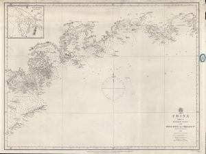
China Sheet II Eastern Coast from Hong Kong to Chelang Pt.
sold
- Digital Map Information
- Suitable for large format printing
- File Size: 21.93 MB
- File Type: ZIP / TIFF
- ICC color profile embedded
- Delivered instantly via download link
A rare 1861 British Admiralty / Richard Collinson nautical map covering the coast of China around Hong Kong. It was issued shortly after the Second Opium War (1856 - 1860) and the British acquisition of Kowloon (which is labeled). (more details)
The height of the China Trade on one chart! Belcher's Hong Kong! Collinson's survey!
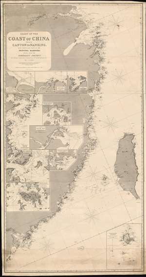
Chart of the Coast of China from Canton to Nanking, with particular plans of the principal Harbors, Drawn from the Admiralty Surveys by Captains R. Collinson, H. Kellett and Sir Edwad Belcher, R. N.
sold
- Digital Map Information
- Suitable for large format printing
- Full resolution TIFF file
- ICC color profile embedded
- Delivered instantly via download link
An exceptionally rare and important 1865 nautical chart or maritime map of the coast of China compiled by John Purdy from the surveys of Sir Edward Belcher (Hong Kong), Richard Collinson (China Coast), and Henry Kellett (China Coast) - probably the best general map of the China coast then obtainable. The map's coverage extends from mouth of the Yangtse River (Nanjing and Shanghai) south as far as Hong Kong and Macao, and east to include Taiwan (Formosa). The chart includes nine insets, among them a large representation Collinson's update of Belcher's First Opium War Hong Kong survey of 1841. This map, made after the second opium war, represents the high point of the China Trade when cities like Shanghai and Hong Kong were transforming into global centers of trade and commerce, largely at the expense of an increasing angry and frustrated Chinese populace (more details)