
Guyot, Arnold Henry (sold)
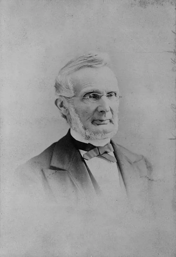
Arnold Henry Guyot (September 28, 1807 - February 8, 1884) was a Swiss-American geologist and geographer. Though he intended to join the ministry, he instead became enamored of the natural sciences, working with close friend Louis Agassiz and forming a connection with the famed scientist Alexander von Humboldt. At Agassiz’s urging, Guyot studied glaciers in the Swiss Alps and presented the fruit of his work, the first important study on glacial motion, to the Geological Society of France. He became professor of history and geography at the College of Neuchâtel. On its closing, he emigrated to the United States with his mother, sister, and nephew, the draftsman Ernest Sandoz. There, he became a lecturer at the Lowell Institute and, later, a professor of geography and geology at Princeton. During his professorship, he worked for the Smithsonian Institution to develop a national meteorological system that led to the formation of the United States Weather Bureau. He also produced several textbooks, as well as a series of educational wall maps. Guyot produced maps in conjunction with his nephew from about 1857 to 1881. His work with Sandoz included the first detailed maps of the Catskills and the Southern Appalachians.
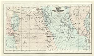
Johnson's World, Showing the Lines of Equal Magnetic Declination.
sold
- Digital Map Information
- Suitable for large format printing
- File Size: 2.28 MB
- File Type: ZIP / TIFF
- ICC color profile embedded
- Delivered instantly via download link
This is a beautiful example of Johnson's 1858 map or chart of the world's magnetic curves of equal variation. The chart depicts the magnetic curves over the entire world including the isomagnetic lines over every continent. It marks the North Magnetic Pole at the ... (more details)
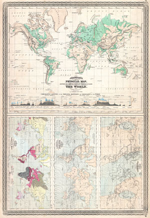
Johnson's Physical Map, Showing the Principal Mountains, Plateaus, & Plains of The World. / Johnson's World. Showing the Lines of Equal Magnetic Declination. / Johnson's World. Showing the Course of the Tidal-Wave in the Three Great Oceans and the Distribution of Volcanoes. / Johnson's World. Showing teh Distribution of the Principal Races of Man.
sold
- Digital Map Information
- Suitable for large format printing
- File Size: 16.67 MB
- File Type: ZIP / TIFF
- ICC color profile embedded
- Delivered instantly via download link
This is one of the thematic world maps from the rare 1870 edition of A. J. Johnson's Atlas of the World . Features four maps drawn c. 1858 by Professor A Guyot. The largest depicts the physical word and attempts to show elevation. The three smaller charts depict, ... (more details)
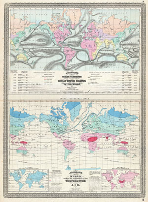
Johnson's Ocean Currents and the Great River Basins of the World, by Prof A. Guyot. / Johnson's World showing the Distribution of the Temperature of the Air; by Prof A. Guyot.
sold
- Digital Map Information
- Suitable for large format printing
- File Size: 17.88 MB
- File Type: ZIP / TIFF
- ICC color profile embedded
- Delivered instantly via download link
This is A. J. Johnson 1870 thematic map of the world illustrating Currents, River Basins, and Air Temperature. Combines two maps, both based upon the work of Geologist A. Guyot, on a single folio sheet. The upper map depicts the world's ocean currents and ... (more details)
The First Map Specifically of the Catskill Mountains
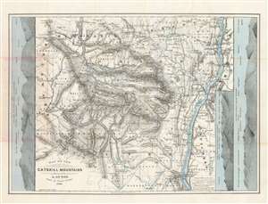
Map of the Catskill Mountains. Surveyed by A. Guyot. Drawn by Ernest Sandoz. 1880.
sold
- Digital Map Information
- Suitable for large format printing
- File Size: 28.54 MB
- File Type: ZIP / TIFF
- ICC color profile embedded
- Delivered instantly via download link
This is Arnold Guyot's 1879 map of the Catskill Mountains. It is the only early map to focus specifically on the range, and the very first to accurately depict the region, and provide a useful tool for traveling it. The far-ranging Swiss geologist was an inveterate trekker, and his surveys of not only the Catskills but also the lion's share of the Appalachian mountain range were executed personally, on foot. His map provides the elevation above sea level for virtually every peak shown on the map. Prior to his surveys, misconceptions about the Catskills abounded. For example, 'High Peak' had been so named based upon the assumption that it was the highest in the range: Guyot's survey took him far deeper into the mountains than prior surveys, however, and his cataloguing of the less-accessible mountains ranks High Peak only twenty third. Guyot, as he did in his other maps of the Appalachians, resolved epidemic disagreements about place names by relying on the terminology used by the denizens of the region he was mapping - diverging from this discipline on rare occasions where clarity in language called for it (for example, swapping Round Top with High Peak to reflect the reality that Round Top was the higher of the two.) (more details)