
Köllner, Augustus Theodore Frederick (sold) (A. Kollner)
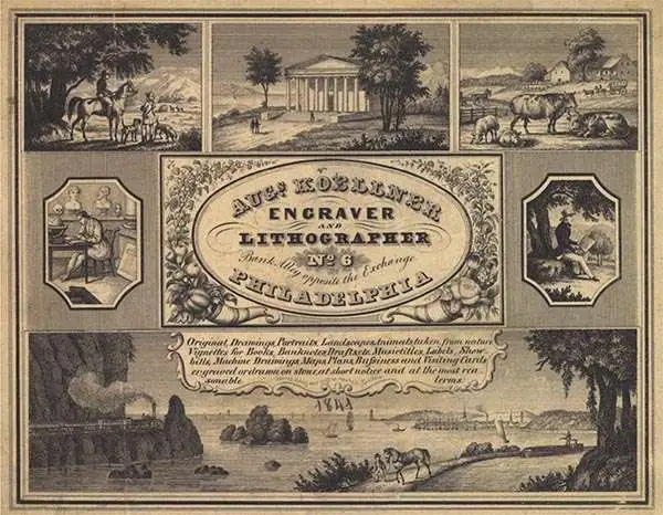
Augustus Theodore Frederick Köllner (1812 - December 10, 1906) was an artist, engraver, and lithographer based in Philadelphia. Born in Wurttemberg, Germany, Köllner began his career in Germany, working as a book illustrator in Stuttgart and Paris in the late 1820s and 1830s before immigrating to the United States in 1839. After settling in Washington, D.C., Köllner worked as a lithographer for the Haas firm, working on advertisements, bank notes, and city views. He moved to Philadelphia in 1840 and tried unsuccessfully to establish himself as a portrait painter. After this misstep, Köllner became the second chief artist of P.S. Duval and William Huddy's 'U.S. Military Magazine' (1839 - 1842). Throughout the 1840s, Köllner worked as a lithographer for many different Philadelphia based lithographic firms, including Duval, J.T. Bowen, Frederick Kuhl, Thomas Sinclair, and Wagner and McGuigan. Between 1847 and 1848, Köllner began working for the lithographic firm Brechemin and Camp, for whom he designed all genres of lithographs and advertised his own lithographic views based on his annual summer sketching trips along the East Coast. His work also began to be published in the seminal series 'View of American Cities', published between 1848 and 1851 by Goupil, Vibert, and Company. While working for Brechemin and Camp, Köllner was responsible for creating the multi-foot Dripp's map of New York City. Kollner established his own firm in 1851 and worked on a wide range of projects, including advertisements, labels, city and landscape views, and maps. During the Civil War, Köllner enlisted in the cavalry in 1863 and later sold photographic reproductions of the etchings he did as a soldier. He produced his last series of landscape lithographs entitled 'Bits of Nature' in 1878, but focused mostly on his watercolor work during the late 1870s. Köllner retired in the early 1880s, but continued to make sketching trips around the Philadelphia area. Köllner married Mary Sheek (c. 1821 - 1899) in 1843, and they had several children, three of which survived infancy: William, Clara, and Josephine. Köllner died on December 10, 1906.
AKA: A. Kollner
A map of a Mexican-American War battle that took place in Pasadena.
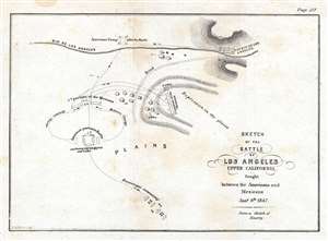
Sketch of the Battle of Los Angeles Upper California, fought between the Americans and Mexicans January 9th, 1847.
sold
- Digital Map Information
- Suitable for large format printing
- DPI: 300
- File Size: 1.04 MB
- File Type: ZIP / TIFF
- ICC color profile embedded
- Delivered instantly via download link
This is an 1847 William Hemsley Emory map of the Battle of Los Angeles, California, which occurred on January 9, 1847. The map depicts the American contingent led by Commodore Robert F. Stockton in the final day before the force reached 'Pueblo de Los Angeles'. Although only a sketch, the map details the last engagement between Stockton's contingent and the Californians under the command of Jose Maria Flores. (more details)
Provides geographical context for the recently concluded Mexican-American War after the American capture of Mexico City.
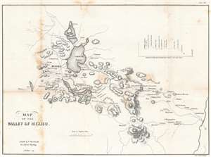
Map of the Valley of Mexico.
sold
- Digital Map Information
- Suitable for large format printing
- DPI: 600
- File Size: 10.47 MB
- File Type: ZIP / TIFF
- ICC color profile embedded
- Delivered instantly via download link
Created just after the Mexican American War, this is an 1847 Edmund Hardcastle map of the Valley of Mexico, a highlands plateau in central Mexico containing present-day Mexico City and the eastern half of the State of Mexico. The map depicts the region from Toluca to Cuatlacingo and from Xaltocan to Popocatepetl. Meant to illustrate a portion of the theater of war, Mexico City is situated on the left side near Lake Texcoco (Laguna de Tezcuco), and settlements, roads, lakes, and mountains throughout the region are illustrated. The American army, und General Winfield Scott, landed a Veracruz on the Mexican coast of the Gulf of Mexico and marched west, and eventually assaulted and captured Mexico City. A profile of their march is situated in the upper right quadrant. (more details)
The first battle in the Taos Revolt of 1847 between U.S. forces and Hispano and Puebloan insurgents.
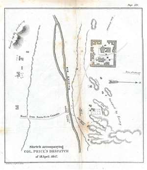
Sketch accompanying Col. Price's Despatch of 18 April 1847.
sold
- Digital Map Information
- Suitable for large format printing
- DPI: 300
- File Size: 1.08 MB
- File Type: ZIP / TIFF
- ICC color profile embedded
- Delivered instantly via download link
This is an 1847 William Hemsley Emory map of the Battle of Cañada one of the battles during the Taos Revolt in and near Taos, New Mexico, which was part of the Mexican-American War. Oriented to the west, the map is bisected by the Rio Chicito, with the road from Santa Fe to Cañada illustrated by two dashed lines. Cañada itself is on the north side of the river and several buildings are noted, though none are labeled. Numerous buildings are illustrated throughout the countryside, along with the region's topography, allowing the viewer to have some understanding of the terrain where the battle occurred. (more details)