
Nieuhof, Johan (sold)
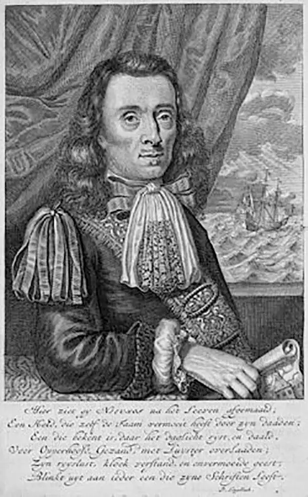
Johan Nieuhof (1618 - 1672) was a traveler and explorer with the Dutch East India Company. Born in Uelsen, a small town in Lower Saxony near the Dutch-German border, Nieuhof spent most of his life in Brazil, China and India. He is most famous for his written account of his journey from Canton to Peking in 1655-1657 called An embassy from the East-India Company of the United Provinces, to the Grand Tartar Cham, Emperor of China. The book, which improved European knowledge about China, also severed as a major influence for the growth of Chinoiserie, making Niefuhof an influential Western writer on China. While stationed in Ceylon, he was imprisoned for trading illegally in pearls and later fired from the Dutch East India Company. After a short family visit in 1672, on his way back to the East Indies, he stopped in Madagascar and traveled inland to trade with the local tribes as well as secure water for the crew, but never returned. The captain, after waiting three days, assumed that Nieuhof and his company were killed. Later, a ship was sent from the Cape of Good Hope to retrieve the party, but found no trace of Nieuhof or his company.
A delightful mix between a view and a city plan - what a great map!
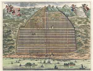
Kanton. In Platte Grondt. / Plate forme de la Ville de Kanton.
sold
- Digital Map Information
- Suitable for large format printing
- DPI: 300
- File Size: 6.31 MB
- File Type: ZIP / TIFF
- ICC color profile embedded
- Delivered instantly via download link
This is a hand colored c. 1670 Pieter van der Aa map or plan of Guangzhou, formerly romanized as Canton, China. Depicted as a hybrid between a view and a plan, the Zhujiang River traverses the bottom of the map, and the amount of traffic and presumed commerce ... (more details)
Incredible view of Guangzhou only a few years after the Qing conquest.
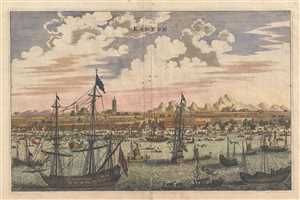
Kanton.
sold
- Digital Map Information
- Suitable for large format printing
- DPI: 300
- File Size: 3.58 MB
- File Type: ZIP / TIFF
- ICC color profile embedded
- Delivered instantly via download link
This is a hand colored c. 1670 Pieter van der Aa map or view of Guangzhou, formerly romanized as Canton, China. Seen from the harbor on the Zhujiang River, Guangzhou's position as a major trading port is emphasized by the amount of traffic on the river. ... (more details)
One of the earliest obtainable European views of China.
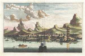
Xaocheu ou Sucheu.
sold
- Digital Map Information
- Suitable for large format printing
- DPI: 300
- File Size: 3.61 MB
- File Type: ZIP / TIFF
- ICC color profile embedded
- Delivered instantly via download link
This is a hand colored c. 1670 Pieter van der Aa map or view of Suzhou, China. The map depicts Suzhou viewed from the Yangtze River. The city walls are easily distinguished, along with a tower on the banks of the river. Mountains rise behind the city. ... (more details)
A view of post-Qing conquest Tianjin.

Tiencienwey.
sold
- Digital Map Information
- Suitable for large format printing
- DPI: 300
- File Size: 3.77 MB
- File Type: ZIP / TIFF
- ICC color profile embedded
- Delivered instantly via download link
This is a 1670 Pieter van der Aa map or view of Tianjin, formerly romanized as Tientsin or Tiencienwey, China. The main focal point is the river, which dominates the center of the piece. Traditional Chinese Junks, an ancient kind of Chinese sailing ... (more details)
Scarce early map of the Cape of Good Hope.
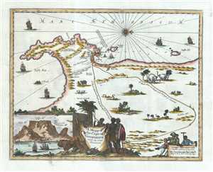
A Mapp of the Cape of Goodhope with its true Situation.
sold
- Digital Map Information
- Suitable for large format printing
- Full resolution TIFF file
- ICC color profile embedded
- Delivered instantly via download link
This is a scarce English edition 1703 map of the Cape of Good Hope in Cape Town, Africa by Dutch traveler Johannes Nieuhof. Oriented with north in the east, it covers from False Bay past the Cape of Good Hope northward past Cape Town as far as ... (more details)