
British Ordnance Survey

The British Ordnance Survey (1791 - present) is the national mapping agency of Great Britain and is one of the largest producers of maps in the world. This non-ministerial department of the government of the United Kingdom is responsible for producing maps of Great Britain and many of its overseas possessions. The history of the Ordnance Survey goes back as far as 1747, following the Jacobite rising, when King George II commissioned a comprehensive military survey of Scotland to assist further campaigns. The result, produced by Paul Sandby, John Mason and William Roy, was the Duke of Cumberland's Map, the first military quality map of the British Isles. This grew into the Principal Triangulation of Great Britain (1783-1853) under William Roy, and eventually lead to the creation of the Ordnance Survey in 1791. Today the Ordnance Survey produces a large variety of paper maps and digital mapping products. Its large scale maps, issued to the scale of 1:10000, available in sheet map form until the 1980s, are now only available digitally. All maps produced by the Ordnance Survey are in copyright for 50 years after publication.
One of the last frontiers in the Scramble for Africa.
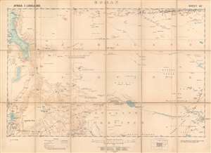
Boran.
$800.00
Acquire
- Digital Map Information
- Suitable for large format printing
- Full resolution TIFF file
- ICC color profile embedded
- Delivered instantly via download link
This is a 1903 British Ordnance Survey / War Office folding map of Boran, today the northeastern portion of Kenya bordering Ethiopia and Somalia. It was made during the 'Scramble for Africa,' when European colonial powers rushed to occupy and claim territory. However, the harsh climate and resistance of local pastoralists to outside rule meant the region long remained a distant frontier to imperial powers. (more details)
An Abortive Attack on Baghdad.
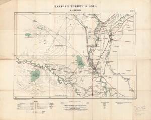
Eastern Turkey in Asia. Baghdad. Sheet 39.
$1,500.00
Acquire
- Digital Map Information
- Suitable for large format printing
- Full resolution TIFF file
- ICC color profile embedded
- Delivered instantly via download link
A large and important 1915 map of the region around Baghdad, then part of the Ottoman Empire, produced by the British Ordnance Survey and War Office. At this time, the region south of Baghdad was contested by British and Ottoman forces as part of the Mesopotamia Campaign of World War I (1914 - 1918). The map is also significant for being the first printed map to show the Baghdad-Tikrit Railway, part of the larger planned Berlin-Baghdad Railway. (more details)
Frontline of the East Africa Campaign.
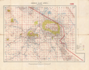
German East Africa. Kilimanjaro. GBE.
$1,500.00
Acquire
- Digital Map Information
- Suitable for large format printing
- File Size: 48.04 MB
- File Type: ZIP / TIFF
- ICC color profile embedded
- Delivered instantly via download link
A highly detailed 1915 Ordnance Survey map of the region around Mt. Kilimanjaro, produced in the opening phase of the East Africa Campaign during World War I (1914 - 1918). This area saw some of the earliest fighting in Africa of the war, battles in which British forces fared badly against numerically inferior but wily German opponents. (more details)
British field use military map from World War I East Africa Campaign.
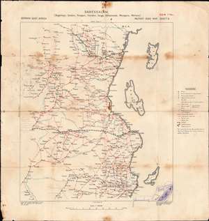
Dar es Salaam. German East Africa Military Road Map. Sheet 6.
$750.00
Acquire
- Digital Map Information
- Suitable for large format printing
- Full resolution TIFF file
- ICC color profile embedded
- Delivered instantly via download link
A unique relic of the WWI East Africa Campaign, this is an 1916 map by the British Ordnance Survey showing German East Africa, or modern-day Tanzania. It was used during the East Africa Campaign during World War I (1914 - 1918) and has several handwritten annotations suggesting field activity. (more details)
The Allies Gain the Upper Hand in East Africa.
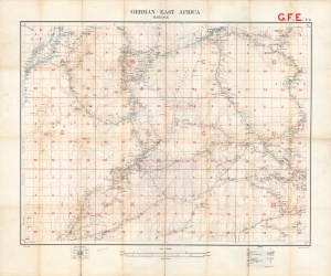
German East Africa. Mahenge. G.F.E. F5.
$750.00
Acquire
- Digital Map Information
- Suitable for large format printing
- File Size: 35.34 MB
- File Type: ZIP / TIFF
- ICC color profile embedded
- Delivered instantly via download link
A large format 1916 map of Mahenge and environs in German East Africa, produced by the British Ordnance Survey. Shortly afterwards, this region became the objective of the Mahenge Offensive, a successful Allied operation won primarily by Belgian Congolese forces that resulted in the occupation of the namesake town. (more details)
The Western Corridor.
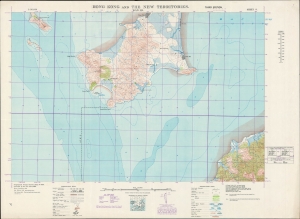
Hong Kong and the New Territories. Wan Ha.
$600.00
Acquire
- Digital Map Information
- Suitable for large format printing
- File Size: 40.61 MB
- File Type: ZIP / TIFF
- ICC color profile embedded
- Delivered instantly via download link
A fascinating and highly detailed 1949 War Office survey map of portions of today's Shenzhen Municipality (then Bao'an County) and the New Territories of Hong Kong. Specifically, it includes the southern half of Shenzhen's Nanshan District and a small part of Hong Kong's Yuen Long District. In recent years, a bridge, highway, and port facilities have made this area one of the main crossing points between Shenzhen and Hong Kong. (more details)
The Farthest Frontier of Hong Kong.
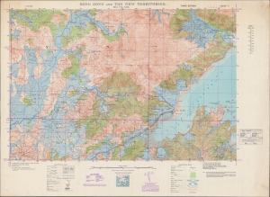
Hong Kong and the New Territories. Sha Tau Kok.
$750.00
Acquire
- Digital Map Information
- Suitable for large format printing
- File Size: 55.91 MB
- File Type: ZIP / TIFF
- ICC color profile embedded
- Delivered instantly via download link
A detailed large-format map of the easternmost portion of the land border between Hong Kong and Shenzhen (then Bao'an County), produced in 1949 by the British War Office. Though a long distance from Hong Kong Island, the border crossing at Sha Tau Kok (or Shatoujiao) has emerged as one of the main crossing points between Hong Kong and the mainland in the past forty years. (more details)
Shenzhen, in the Old Days.
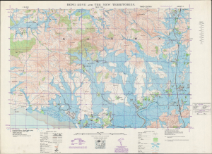
Hong Kong and the New Territories. Sha Tau.
$850.00
Acquire
- Digital Map Information
- Suitable for large format printing
- Full resolution TIFF file
- ICC color profile embedded
- Delivered instantly via download link
A 1949 British War Office topographic map of a portion of the border between Hong Kong and Bao'an County, today's Shenzhen Municipality. The bottom portion of the map includes the border between Hong Kong's New Territories and mainland China, which took on new significance with the establishment of the People's Republic of China the same year this map was produced. (more details)
The Eastern Entrance to Victoria Harbour.
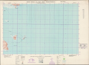
Hong Kong and the New Territories. Tathong Channel.
$500.00
Acquire
- Digital Map Information
- Suitable for large format printing
- File Size: 25.69 MB
- File Type: ZIP / TIFF
- ICC color profile embedded
- Delivered instantly via download link
A large-format 1949 survey map of the coasts, islands, and waters in the Tathong Channel off the eastern coast of Hong Kong Island, produced by the British War Office. (more details)
Foxconn City.
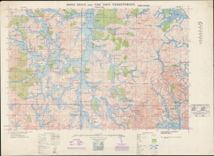
Hong Kong and the New Territories. Tsing Wu.
$750.00
Acquire
- Digital Map Information
- Suitable for large format printing
- File Size: 51.75 MB
- File Type: ZIP / TIFF
- ICC color profile embedded
- Delivered instantly via download link
A 1949 British War Office survey map of a portion of Bao'an County, today's Shenzhen, a megacity on the border of Hong Kong that has emerged in the past forty years. This area, the heart of the mainland Chinese operations of the multinational corporation Foxconn, has been completely transformed and is today virtually unrecognizable from the scattered villages and fields depicted here. (more details)