
British Ordnance Survey (sold)

The British Ordnance Survey (1791 - present) is the national mapping agency of Great Britain and is one of the largest producers of maps in the world. This non-ministerial department of the government of the United Kingdom is responsible for producing maps of Great Britain and many of its overseas possessions. The history of the Ordnance Survey goes back as far as 1747, following the Jacobite rising, when King George II commissioned a comprehensive military survey of Scotland to assist further campaigns. The result, produced by Paul Sandby, John Mason and William Roy, was the Duke of Cumberland's Map, the first military quality map of the British Isles. This grew into the Principal Triangulation of Great Britain (1783-1853) under William Roy, and eventually lead to the creation of the Ordnance Survey in 1791. Today the Ordnance Survey produces a large variety of paper maps and digital mapping products. Its large scale maps, issued to the scale of 1:10000, available in sheet map form until the 1980s, are now only available digitally. All maps produced by the Ordnance Survey are in copyright for 50 years after publication.
Map of Victorian London popular with Jack the Ripper researchers showing parks, streets, and important buildings.
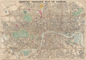
Whitbread's Reduced Ordnance Map of London.
sold
- Digital Map Information
- Suitable for large format printing
- File Size: 33.51 MB
- File Type: ZIP / TIFF
- ICC color profile embedded
- Delivered instantly via download link
A very attractive large map of London, England, published by Whitbread in 1873. As this title suggests, this map was reduced from the Ordnance Survey for the consumer market. The map covers from the West End around Edgeware Road to Parcens Garden, Victoria Park, ... (more details)
An official map created by the Anglo-French Boundary Commission.
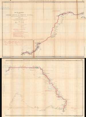
Map of Boundary between Sierra Leone and French Guinea, as demarcated by the Anglo-French Boundary Commission.
sold
- Digital Map Information
- Suitable for large format printing
- File Size: 21.52 MB
- File Type: ZIP / TIFF
- ICC color profile embedded
- Delivered instantly via download link
This is an 1897 War Office Intelligence Division map of the border between Sierra Leone and French Guinea printed on two sheets. The map depicts the region from Kiragba, Sierra Leone to Mount Konkonante in French Guinea. A highly detailed depiction of the boundary ... (more details)
Superbly Detailed Map of the Sudan and the Upper Nile and Congo Basins During the Scramble for Africa
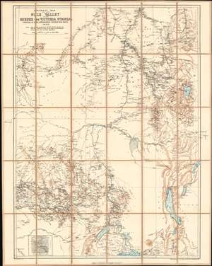
General Map of the Nile Valley from Berber to Victoria Nyanza Compiled at the Intelligence Division War Office 1898.
sold
- Digital Map Information
- Suitable for large format printing
- File Size: 38.32 MB
- File Type: ZIP / TIFF
- ICC color profile embedded
- Delivered instantly via download link
This is an 1898 British War Office, Intelligence Division map of the Upper Nile River Valley published by the Ordnance Survey. The map, printed in black, blue and sepia in the meticulous detail typical of the War Office's maps, encompasses the headwaters of the Blue Nile, the White Nile, and the northeastern Congo watershed: this region embraces Sudan as far north as Berber; Western Sudan, including the Darfur region; most, if not all, of South Sudan; Eritrea and most of inland Ethiopia; the eastern reaches of the Central African Republic; and the northeastern portion of the Democratic Republic of the Congo (Stanley Falls appears in the lower left hand corner of the map.) Most of Uganda is included, as is western Kenya. At the lower left is a detail map of Mashra‘ ar Raqq (Meshra er Rek, on the map.) (more details)
When Central America was the center o the world...
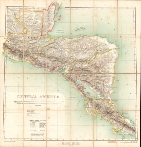
Central America.
sold
- Digital Map Information
- Suitable for large format printing
- Full resolution TIFF file
- ICC color profile embedded
- Delivered instantly via download link
A fascinating chromolithograph map of Central America issued jointly by the British War Office Topographical Section and the British Ordnance. The map emerged during the peak of global conversation about an interoceanic canal or railroad route to connect the Caribbean Sea, and thus the Atlantic, with the Pacific. (more details)
Exceptionally rare large format map of Beijing or Peking drawn after the Boxer Rebellion.
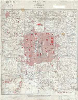
Peking and Environs From the German Staff Map of 1907 with additions.
sold
- Digital Map Information
- Suitable for large format printing
- File Size: 28.4 MB
- File Type: ZIP / TIFF
- ICC color profile embedded
- Delivered instantly via download link
This is an extremely rare 1909 British map of Beijing or Peking China drawn prepared by the British Ordnance Survey Office Southampton for the War Office. Cartographically the map is based upon a 1907 German map published in Berlin entitled Peking und Umgebung . ... (more details)
Chinese railroad and telegraph networks on the eve of World War I.
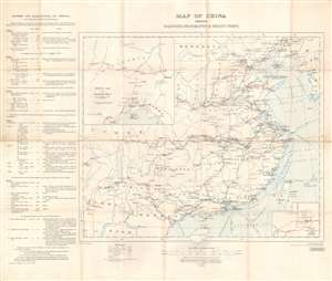
Map of China Shewing Railways, Telegraphs, and Treaty Ports.
sold
- Digital Map Information
- Suitable for large format printing
- File Size: 30.46 MB
- File Type: ZIP / TIFF
- ICC color profile embedded
- Delivered instantly via download link
This is a 1913 British War Office map of China and its railroads, telegraphs, and treaty ports. A system of red lines traces the Chinese railroad network. Solid red lines mark rail lines open to traffic, dashed red and white lines highlight lines currently under construction, and dashed red lines illustrate projected lines. Solid black lines follow telegraph lines. Blue lines in the Yellow Sea, Eastern Sea, and Southern Sea mark undersea cables connecting Chinese ports to other coastal Chinese cities and foreign nations. China's river system is also illustrated and labeled, and many cities along these rivers had been opened to foreign trade, a detail indicated by whether or not the city is underlined. An inset in the lower right details Peking, including the divisions of the Chinese City, Tartar City, and Imperial City. A second inset in the upper left corner illustrates railway connections in Manchuria that connect with Vladivostok and the Trans-Siberian Railway in Russia. (more details)
Chinese railroad and telegraph networks in the early days of the Republic.
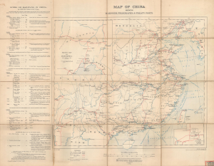
Map of China Shewing Railways, Telegraphs, and Treaty Ports.
sold
- Digital Map Information
- Suitable for large format printing
- Full resolution TIFF file
- ICC color profile embedded
- Delivered instantly via download link
This is a large-format 1913 British War Office map of China and its railroads, telegraphs, and treaty ports. It was published soon after China's transition from an imperial dynasty to a republic, when the country's future direction was highly uncertain and hotly contested. (more details)
Very rare geological survey of Hong Kong!
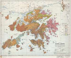
Map of Hong-Kong : and of the territory leased to Great Britain under the convention between Great Britain and China signed at Peking on the 9th of June 1898.
sold
- Digital Map Information
- Suitable for large format printing
- Full resolution TIFF file
- ICC color profile embedded
- Delivered instantly via download link
This is a scarce large format 1936 geological survey of Hong Kong issued by the British Ordnance Survey and the War Office. The map covers all of Hong Kong, as well as Lan Tao, Lamma, the New Territories, and Kowloon. Color coding throughout identifies ... (more details)
Fishing at the Edge of the British Empire.
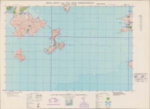
Hong Kong and the New Territories. Cheung Chau Island.
sold
- Digital Map Information
- Suitable for large format printing
- File Size: 38.76 MB
- File Type: ZIP / TIFF
- ICC color profile embedded
- Delivered instantly via download link
An impressive large-format 1949 War Office map of Cheung Chau Islands and environs, part of the New Territories of Hong Kong. (more details)
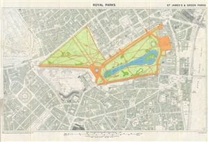
Royal Parks. St. James's & Green Parks.
sold
- Digital Map Information
- Suitable for large format printing
- File Size: 23.58 MB
- File Type: ZIP / TIFF
- ICC color profile embedded
- Delivered instantly via download link
This is a beautiful example of the 1953 Ordnance Survey map of St. James's Park and Green Park, two of the Royal Parks of London, England. It covers the vicinity of the two adjoining parks from Hyde Park to the River Thames, and south as far as Victoria ... (more details)
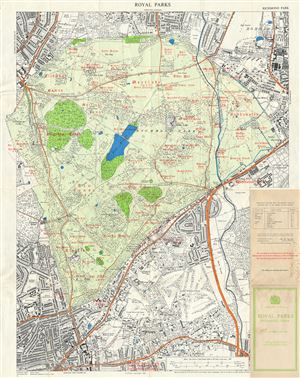
Royal Parks Greater London. Richmond Park.
sold
- Digital Map Information
- Suitable for large format printing
- File Size: 36.63 MB
- File Type: ZIP / TIFF
- ICC color profile embedded
- Delivered instantly via download link
This is a beautiful example of the 1968 Ordnance Survey map of Richmond Park, one of the Royal Parks of London, England. It covers all of Richmond Park and its vicinity. The map is highly detailed with the parks beautifully rendered. Streets, ... (more details)