
Otis, Elwell Stephen (sold)
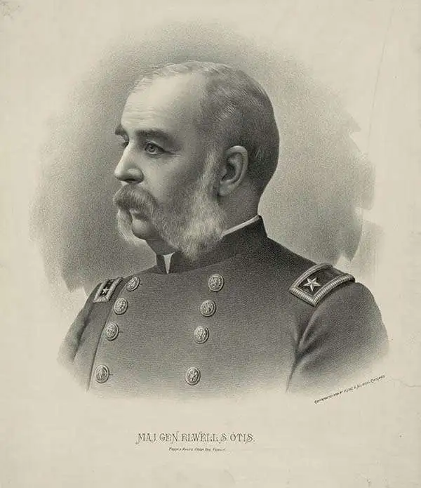
Elwell Stephen Otis (March 25, 1838 - October 21, 1909) was a United States army officer who served in the American Civil War, Indian Wars, the Philippines late in the Spanish-American War and during the Philippine-American War, where he commanded the Eighth Corps. He served following the Philippine-American War as the Military Governor General of the Philippines. While not popular in the Philippines due to his authoritarian and 'pompous' manner, he was a skilled and capable administrator. Otis was replaced in the Philippines by the more popular Douglas MacArthur in 1900. Otis died in Rochester, New York on October 21, 1909 from painful angina.
One of the most detailed maps of Central Luzon issued during the Philippine-American War.
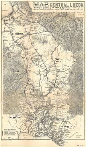
Map of Central Luzon showing a portion of the Field of Operations of the 8th Army Corps.
sold
- Digital Map Information
- Suitable for large format printing
- File Size: 13.46 MB
- File Type: ZIP / TIFF
- ICC color profile embedded
- Delivered instantly via download link
This is an extremely rare map of central Luzon, the Philippines, issued at the height of the Philippine-American War (1899 – 1902) by William L. Sibert of the 8th Army Engineering Corps and the Military Governor in the Philippines, Major General Elwell Stephen Otis. Drawn on a scale of 1 : 240000, this map is one the most detailed cartographic productions to emerge from the Philippine-American War. The map covers central Luzon, specifically the lands including and just north of Manila and Manila Bay to Lingayen Gulf. During the early stages of the Philippine-American War, this area was largely controlled by Philippine forces and was the most active theater. Three different 'lines of operations' are illustrated, marking the advance of three different columns of troops under the command of Major General Henry Ware Lawton, Major General Arthur MacArthur Jr., and Brigadier General Loyd Wheaton. Numerous cities, towns, and villages are labeled throughout along with rivers and lakes. Roads and telegraph lines are also illustrated. Topography is shown by hachure. (more details)
One of the most detailed maps of Central Luzon issued during the Philippine-American War.
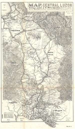
Map of Central Luzon showing a portion of the Field of Operations of the 8th Army Corps.
sold
- Digital Map Information
- Suitable for large format printing
- File Size: 12.63 MB
- File Type: ZIP / TIFF
- ICC color profile embedded
- Delivered instantly via download link
This is an extremely rare map of central Luzon, the Philippines, issued at the height of the Philippine-American War (1899 – 1902) by William L. Sibert of the 8th Army Engineering Corps and the Military Governor in the Philippines, Major General Elwell Stephen Otis. Drawn on a scale of 1 : 240000, this map is one the most detailed cartographic productions to emerge from the Philippine-American War. The map covers central Luzon, specifically the lands including and just north of Manila and Manila Bay to Lingayen Gulf. During the early stages of the Philippine-American War, this area was largely controlled by Philippine forces and was the most active theater. Three different 'lines of operations' are illustrated, marking the advance of three different columns of troops under the command of Major General Henry Ware Lawton, Major General Arthur MacArthur Jr., and Brigadier General Loyd Wheaton. Numerous cities, towns, and villages are labeled throughout along with rivers and lakes. Roads and telegraph lines are also illustrated. Topography is shown by hachure. (more details)
One of the largest most detailed maps of Luzon issued during the Philippine-American War.
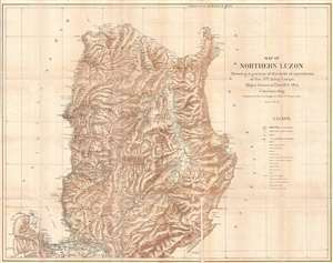
Map of Northern Luzon Showing a portion of the field operations of the 8th Army Corps, Major General Elwell S. Otis Commanding.
sold
- Digital Map Information
- Suitable for large format printing
- File Size: 23.4 MB
- File Type: ZIP / TIFF
- ICC color profile embedded
- Delivered instantly via download link
This is an extremely rare map of Northern Luzon, the Philippines, issued at the height of the Philippine-American War (1899 – 1902) by the Military Governor in the Philippines, Major General Elwell Stephen Otis and the 8th Army Engineering Corps. Drawn on a ... (more details)
Luzon during the Philippine-American War.
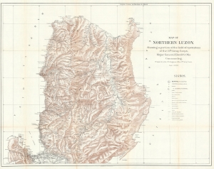
Map of Northern Luzon Showing a portion of the field operations of the 8th Army Corps, Major General Elwell S. Otis Commanding.
sold
- Digital Map Information
- Suitable for large format printing
- File Size: 70.87 MB
- File Type: ZIP / TIFF
- ICC color profile embedded
- Delivered instantly via download link
This is a rare map of Northern Luzon, the Philippines, issued in 1900 at the height of the Philippine-American War (1899 – 1902) by the Military Governor in the Philippines, Major General Elwell Stephen Otis, and the 8th Army Engineering Corps. This map is one of the largest and most detailed cartographic productions to emerge from the Philippine-American War. (more details)
Detailed map of southern Luzon during the Philippine-American War.
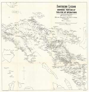
Southern Luzon. Showing Portion of Theatre of Operations. 8th Army Corps, Major General Elwell S. Otis, Commanding.
sold
- Digital Map Information
- Suitable for large format printing
- File Size: 23.92 MB
- File Type: ZIP / TIFF
- ICC color profile embedded
- Delivered instantly via download link
This is an extremely rare map of Southern Luzon, the Philippines, issued at the height of the Philippine-American War (1899 - 1902) by the Military Governor in the Philippines, Major General Elwell Stephen Otis and the 8th Army Engineering Corps. This map is one of the largest and most detailed cartographic productions to emerge from the Philippine-American War. It depicts southern Luzon, from Alabat Island and Camarines Norte to Albay and the San Bernardino Strait. Identifying roadways, towns and cities, political boundaries, telegraph lines, rivers, and more, this map provides the viewer with a comprehensive view of the situation in the region and it appears to have been based upon Spanish sources, as some of the place names are in Spanish. (more details)
One of the most detailed maps of Luzon issued during the Philippine-American War.

Southern Luzon. Showing Portion of Theater of Operations. 8th Army Corps, Major General Elwell S. Otis, Commanding.
sold
- Digital Map Information
- Suitable for large format printing
- File Size: 15.19 MB
- File Type: ZIP / TIFF
- ICC color profile embedded
- Delivered instantly via download link
This is an extremely rare map of Central Luzon, the Philippines, issued at the height of the Philippine-American War (1899 – 1902) by the Military Governor in the Philippines, Major General Elwell Stephen Otis and the 8th Army Engineering Corps. Drawn on a ... (more details)
Southern Luzon during the Philippine-American War.
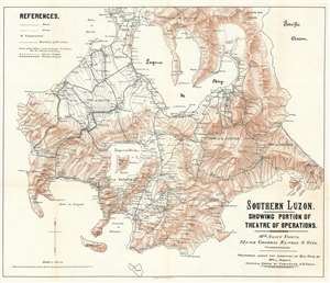
Southern Luzon. Showing Portion of Theater of Operations. 8th Army Corps, Major General Elwell S. Otis, Commanding.
sold
- Digital Map Information
- Suitable for large format printing
- File Size: 35.23 MB
- File Type: ZIP / TIFF
- ICC color profile embedded
- Delivered instantly via download link
This is an extremely scare map of Central Luzon, the Philippines, issued at the height of the Philippine-American War (1899 - 1902) by the Military Governor in the Philippines, Major General Elwell Stephen Otis, and the 8th Army Engineering Corps. It ranks among the most detailed cartographic productions to emerge from the Philippine-American War. Although titled 'Southern Luzon,' this map, in fact, covers Central Luzon, specifically the lands including and just south of Manila, surrounding the Laguna de Bay, as far as the Quezon Isthmus and Isla Verde. During the early stages of the Philippine-American War, this area was primarily controlled by Philippine forces and was the most active theater. The map offers detailed topography via shading throughout and identifies roadways, towns, cities, political boundaries, telegraph lines, and more. (more details)
Detailed map of southern Luzon during the Philippine-American War.
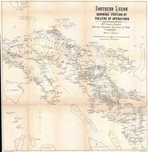
Southern Luzon. Showing Portion of Theatre of Operations. 8th Army Corps, Major General Elwell S. Otis, Commanding.
sold
- Digital Map Information
- Suitable for large format printing
- File Size: 11.78 MB
- File Type: ZIP / TIFF
- ICC color profile embedded
- Delivered instantly via download link
This is an extremely rare map of Southern Luzon, the Philippines, issued at the height of the Philippine-American War (1899 – 1902) by the Military Governor in the Philippines, Major General Elwell Stephen Otis and the 8th Army Engineering Corps. Drawn on ... (more details)