
Ravenstein, Ernst Georg (sold)
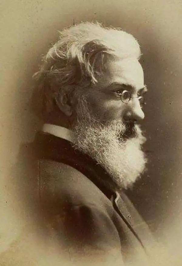
Ernst Georg Ravenstein (December 30, 1834 - March 13, 1913), also known as Ernest George was a German-English cartographer and geographer. Born in Frankfurt-am-Main, Germany, Ravenstein was the son of the German cartographer and publisher Friedrich August Ravenstein (1809 - 1881), founder of Ravenstein's Geographische Verlagsanstalt (1830 - 2001). Likely fleeing political instability in Germany, he emigrated to England in 1851 or 1852. Upon arrival he immediately became a pupil of Dr. August Heinrich Petermann, also a German exile in England. He subsequently became a naturalized British subject and worked in the topographical-statistical office of the British War Office from 1855 until 1875. He was a member of the Royal Statistical Society and the Royal Geographical Society, and held the position of Professor of Geography at Bedford College from 1882 - 1883. In 1902, the Royal Geographical Society awarded him the first Victoria Gold Medal. Ravenstien is best known for his groundbreaking 'Rules of Migration' a detailed study of human movement. After nearly 60 years abroad, Ravenstein returned to Germany, where he died on March 13, 1913 in Hofheim, just outside his native Frankfurt. Throughout Ernst's time in England, his younger brother Ludwig Ravenstein (1838 - 1915), ran the family business in Frankfurt.
The most striking commercial map of Australia during the Gold Rush Era.
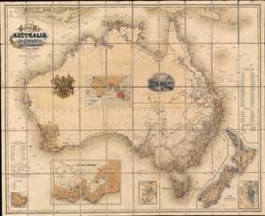
General Map of Australia and Tasmania or Van Diemen's Land shewing The British Colonies as divided into Counties.
sold
- Digital Map Information
- Suitable for large format printing
- File Size: 91.52 MB
- File Type: ZIP / TIFF
- ICC color profile embedded
- Delivered instantly via download link
A rare and striking first-edition chromolithograph gold rush era map of Australia issued by Ernst Georg Ravenstein in 1857 - without a doubt one of the largest and most decorative commercial maps of Australia to appear in the 19th century. The map covers the entire continent with insets detailing nearby New Zealand, the colony of Victory, Sydney, the Mount Alexander gold region, Norfolk Island, and commercial maritime routes to and from Australian ports. The first edition, as here, features two dramatic vignettes: the wharves at Melbourne and a curious British Royal crest modified to honor Prince Albert. The map depicts Australia in the midst of a continent-wide population explosion driven by a series of gold rushes lasting over half a century. Lest there be any doubt that this is a Gold Rush map, the map's striking chromolithograph color is awash with golden tones suggestive of prosperity and promise. (more details)
Follows the founder of the Denver and Rio Grande Railroad.
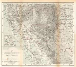
Map of the Southwestern Portion of the United States, and of Sonora and Chihuahua.
sold
- Digital Map Information
- Suitable for large format printing
- File Size: 14.77 MB
- File Type: ZIP / TIFF
- ICC color profile embedded
- Delivered instantly via download link
This is an 1870 Ernst Georg Ravenstein map of the southwestern United States. The map traces William Abraham Bell's travels in the region, including his time with the Kansas Pacific Railroad Survey. A red line illustrates Bell's peregrinations from Kansas west to the Pacific Ocean, his voyage up the Pacific coast to San Francisco, and his overland trek back to Kansas. From Kansas, Bell headed east where he booked passage across the Atlantic to England. After the expedition Bell co-founded the Denver and Rio Grande Railway. (more details)
Comprised of six charts on one sheet illustrating rain and snow fall, temperature, river basins, and vegetation in the Arctic Basin.
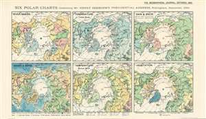
Six Polar Charts illustrating Mr. Henry Seebohm's Presidential Address, Nottingham, September, 1893.
sold
- Digital Map Information
- Suitable for large format printing
- File Size: 8.66 MB
- File Type: ZIP / TIFF
- ICC color profile embedded
- Delivered instantly via download link
This is an 1893 Ernst Georg Ravenstein map of the Arctic consisting of six small maps printed on one sheet created to help illustrate Mr. Henry Seebohm’s address to the Royal Geographical Society. Each map illustrates a different aspect of the Arctic Basin, with a map focusing on river basins, temperature (coldest month), rain and snow, heights and depths, temperature (coldest month), and vegetation. An incredible amount of detail is present on each map. For example, four different colors are used to illustrate variations in precipitation and temperature in three of the maps, while five colors are employed to highlight different vegetation zones. The map detailing heights and depths, which would more traditionally be referred to as a topographic map, very much resembles other maps within that genre. (more details)