
Rey, Jacques Joseph (sold)
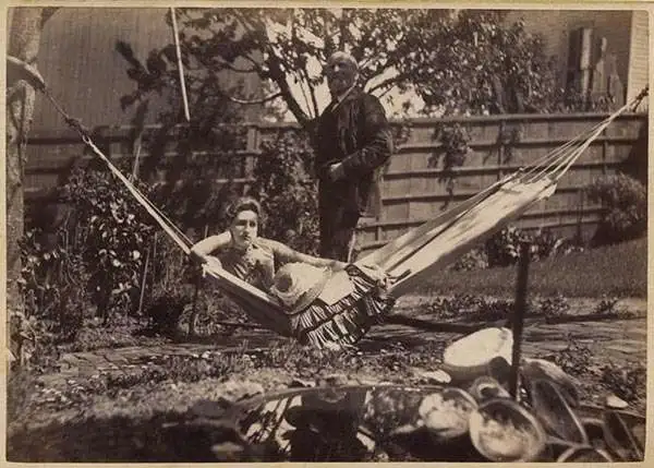
Jacques Joseph Rey (1820 - 1892) was born in Bouxwiller, Alsace, France, and apparently was trained in art and lithography. Around 1850, he immigrated to California. Rey, a lithographer by training, entered into a partnership with Joseph Britton (1825 - 1901) by late 1852. Rey married Britton’s sister in 1855, but Britton, who remained a life-long bachelor, lived with the newlyweds. Rey and Britton were well integrated into San Francisco. They owned a plumbing and gas-fitting firm, which apparently Rey managed. They also worked with several different lithographers off and on, but their partnership solidified by 1867. Following Rey’s death and Britton’s retirement, Rey’s son, Valentine J. A. Rey, took over the business and ran it at least until the 1906 San Francisco earthquake and fire. The firm continued to produce works until 1915, after which it was acquired by A. Carlisle and Company.
Incredible early map of Golden Gate Park - only the eastern third has been improved!

Map Showing the Golden Gate Park, the Avenue, and Buena Vista Park
sold
- Digital Map Information
- Suitable for large format printing
- File Size: 8.08 MB
- File Type: ZIP / TIFF
- ICC color profile embedded
- Delivered instantly via download link
This is an 1893 Joseph Britton and Jacques Joseph Rey map of Golden Gate Park. The map depicts Golden Gate Park from the Pacific Ocean to Baker Street and from D Street to H Street and includes both The Panhandle and Buena Vista Park. When compared with later ... (more details)
San Francisco's Late 19th Century Water System.
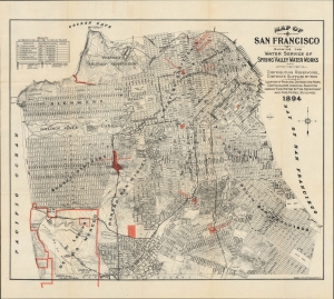
Map of San Francisco Showing the Water Service of Spring Valley Water Works.
sold
- Digital Map Information
- Suitable for large format printing
- File Size: 29.02 MB
- File Type: ZIP / TIFF
- ICC color profile embedded
- Delivered instantly via download link
A scarce and important 1894 Britton and Rey map of San Francisco highlighting the water system owned by the Spring Valley Water Works, arguably the most powerful monopoly in California at the time of publication. However, it was also facing public criticism and an insufficient supply of water for the city, prompting extremely ambitious plans in the following years. (more details)
Plotting out the City by the Bay.
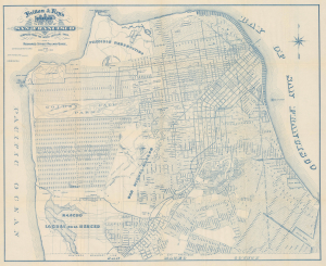
Britton and Rey's Guide Map of the City of San Francisco Compiled from the Latest Official Data.
sold
- Digital Map Information
- Suitable for large format printing
- Full resolution TIFF file
- ICC color profile embedded
- Delivered instantly via download link
This is a c. 1894 map of San Francisco prepared by local printers Britton and Rey for Richards' Official Guide and Maps of San Francisco Street Railways. The map captures San Francisco as it expanded beyond the original downtown core formed during the Gold Rush era into the western and southern sections. (more details)
Highlights the birds, deer, and bison living in Golden Gate Park.

Map showing the Golden Gate Park the Avenue and Buena Vista Park.
sold
- Digital Map Information
- Suitable for large format printing
- File Size: 33.03 MB
- File Type: ZIP / TIFF
- ICC color profile embedded
- Delivered instantly via download link
This is an 1897 Joseph Britton and Jacques Joseph Rey map of Golden Gate Park, San Francisco. The map depicts the park from the Pacific Ocean to Baker Street and from D Street to H Street and includes both the Panhandle and Buena Vista Park. Park improvements in the eastern third are illustrated in detail, with the numerous buildings, monuments, and other areas all identified. (more details)