
Smith, John L. (sold)
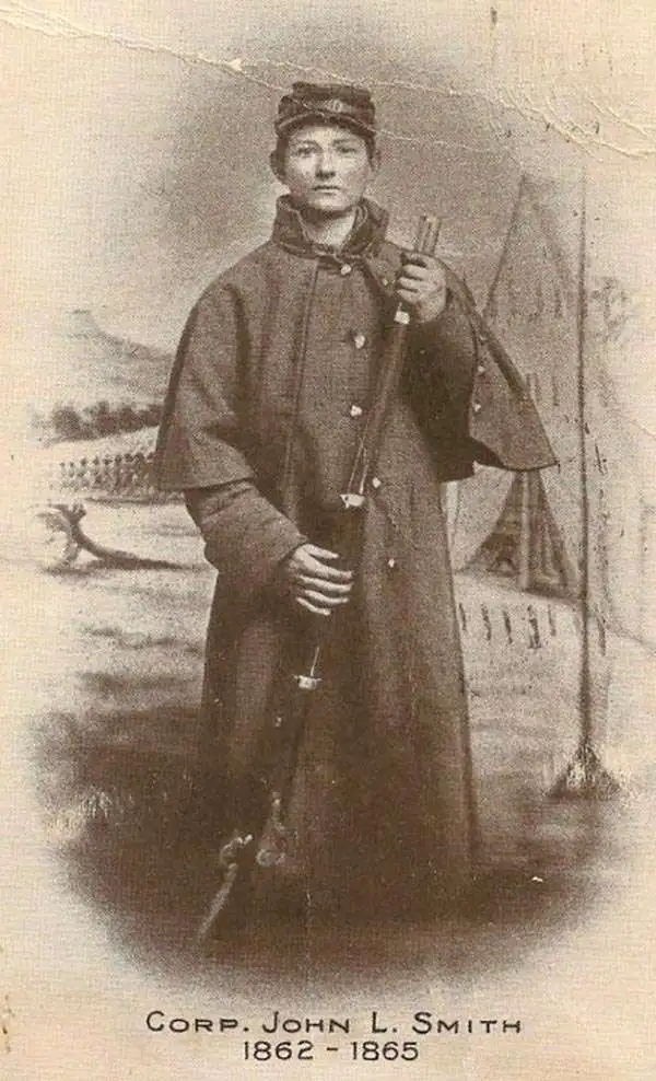
John L. Smith (March 19, 1846 - April 1, 1921) was a Philadelphia based stationer, map seller, publisher, and printer active in the late 19th and early 20th centuries. Smith served in the Civil war with Company K, 118th Pennsylvania, the 'Corn Exchange Regiment' from roughly 1862. He served in the Battle of North Anna and Bethesda Church, where he was wounded. He mustered out of service in 1865 and settled in Philadelphia. Smith subsequently worked with Rufus L. Barnes (1794 - 1868), whose business he acquired in 1868. His offices were at 27 South Sixth Street, Philadelphia. He retired from the map business in 1920. Smith rose to prominence and wealth and, when he died, left a large estate of $54,500 USD to charity. He had no children and lived as a bachelor at the Columbia Club, 1600 North Broad Street, until his death of a heart attack in 1921. He had a brother, William C. Smith, who survived him.
Toll roads, plank roads, and railroads.
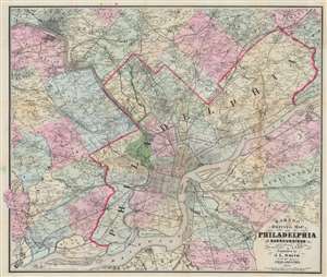
Barnes' Driving Map of Philadelphia and Surroundings.
sold
- Digital Map Information
- Suitable for large format printing
- Full resolution TIFF file
- ICC color profile embedded
- Delivered instantly via download link
This 1874 John L. Smith map of Philadelphia presents a detailed picture of the city and vicinity, covering from Media and King of Prussia east to Delanco and Riverside and from Norristown south to the Delaware River. Philadelphia's streets are illustrated and labeled, and its city squares identified. Outside Philadelphia, many towns are illustrated with street grids. Individual homes are labeled by last name throughout. (more details)
First edition of Nell's important large format map of Colorado.
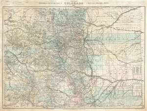
Nell's Topographical Map of the State of Colorado.
sold
- Digital Map Information
- Suitable for large format printing
- File Size: 87.77 MB
- File Type: ZIP / TIFF
- ICC color profile embedded
- Delivered instantly via download link
This is the very rare 1887 first edition of Louis Nell's separate-issue map of Colorado. It is hands down the largest and most detailed map of Colorado to appear after the 1876 statehood. The map painstakingly illustrates topography, names rivers and streams, shows railroads, identifies footpaths, and more. The map is further broken down into counties and Land Office districts. Native American reservations, military reservations, and mining territories are also named. Mountain peaks, many of which have today become popular ski resorts, are named throughout. (more details)
America's emergence as a colonizing power!
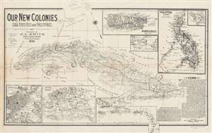
Our New Colonies. Cuba, Porto Rico and Philippines.
sold
- Digital Map Information
- Suitable for large format printing
- File Size: 17.99 MB
- File Type: ZIP / TIFF
- ICC color profile embedded
- Delivered instantly via download link
This is an 1898 John L. Smith persuasive map celebrating the U.S. conquest of Cuba, Puerto Rico, and the Philippines during the Spanish-American War. Cuba is the primary focus of the map, with impressive detail naming cities, towns, railroads, and coastal points and bays are labeled throughout. An inset of the Philippine Islands occupies the upper right corner, with a sub-inset of Manila Bay, where Admiral Dewey won his celebrated victory against the Spanish Navy. A second inset to the left of the Philippines details Puerto Rico (Porto Rico), while a third, still smaller inset situates these three new territories on a world map. Insets along the bottom detail the city of Havana, the Province of Havana, and the West Indies from Cuba to Granada. (more details)