
Vallance, John (sold)
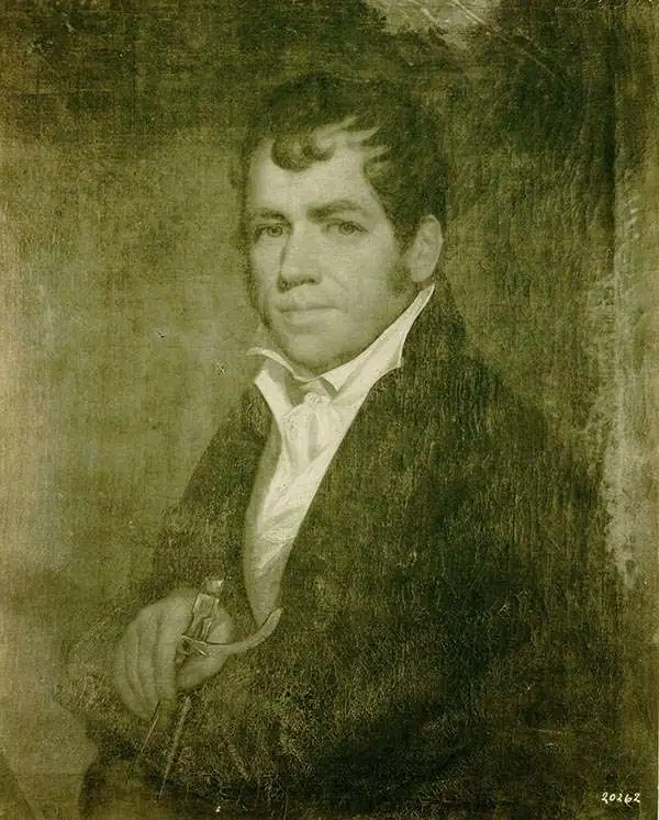
John Vallance (1770 - June 14, 1823) was a Philadelphia based engraver active in the late 18th and early 19th centuries. Vallance was born in Glasgow, Scotland. Some scholars claim he apprenticed under Philadelphia engraver James Trenchard, but the dates don't work, as Vallance moved to the United States at 21, already an master engraver. At 21, in the year 1791, Vallance moved to Philadelphia and immediately partnered with James Thacakara, his wife's (a Trenchard?) uncle, establishing the imprint of Thackara and Vallance. The firm completed numerous significant cartographic projects, including maps for Andrew Ellicott, John Melish, Henry S. Tanner, and Reading Howell. Vallance later partnered with Henry Schenck Tanner (1786 - May 18, 1858) and Francis Kearney, forming Vallance, Kearney and Co. Vallance, working with Thackara, produced some of the most important early maps of Washington D.C., engraved early Continental Currencies, and worked on Dobson's Encyclopedia. In addition to his cartographic work, Vallance was also one of the founding members of the Philadelphia based Association of Artists in America.
First official large format plan of Washington D.C.
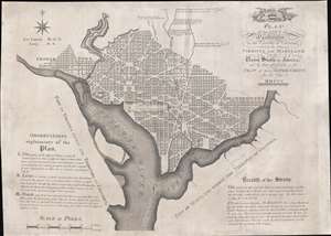
Plan of the City of Washington in the Territory of Columbia, ceded by the States of Virginia and Maryland to the United States of America, and by them established as the Seat of their Government, after the year MDCCC.
sold
- Digital Map Information
- Suitable for large format printing
- Full resolution TIFF file
- ICC color profile embedded
- Delivered instantly via download link
This is Andrew Ellicott's seminal 1792 official large format plan or map of Washington D.C., which would become, 8 years later, the capital of the United States. This is the grandest, most beautiful, and most important official founding plan of Washington D.C. The map illustrates the original urban layout of Washington D.C, then only a small part of the District of Colombia. Centered on the confluence of the Potomac and the Eastern Branch (Anacostia) Rivers, the map covers the Washington D.C. grid as far north as W Street. It also includes the older nearby city of Georgetown. (more details)
First American map of North Carolina. Shows the Moravian Settlement of Wachovia.
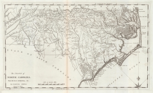
The State of North Carolina from the best Authorities etc.
sold
- Digital Map Information
- Suitable for large format printing
- Full resolution TIFF file
- ICC color profile embedded
- Delivered instantly via download link
This is a 1795 first state example of the Samuel Lewis map of North Carolina, the earliest specific map of that state printed in the United States. It is also one of the few maps to show the Moravian Settlement of Wachovia, near modern-day Winston-Salem. (more details)
Rare first edition of 'one of the most valuable works on China, describing districts never before traversed by Europeans.' (Sabin)
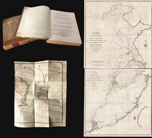
Voyage de l'ambassade de la Compagnie des Indes Orientales Hollandaises, vers l'empereur de la Chine, dans les années 1794 et 1795..
sold
This is a rare 1797/98 Andreas Everardus van Braam Houckgeest two-volume narrative of a VOC embassy to the court of the Qianlong Emperor, in China, and its accompanying maps. During this voyage, Houckgeest became the first American to meet a Chinese Emperor and ... (more details)
A cartographic landmark in the mapping of Pennsylvania.
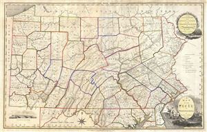
A Map of the State of Pennsylvania by Reading Howell MDCCCXI.
sold
- Digital Map Information
- Suitable for large format printing
- DPI: 300
- File Size: 25.69 MB
- File Type: ZIP / TIFF
- ICC color profile embedded
- Delivered instantly via download link
This map, which was first issued by Reading Howell in 1791, is considered to be one of the most important maps of Pennsylvania ever issued as well as the finest of the 18th century. Howell, a landowner and surveyor of Pennsylvania, was commissioned by the ... (more details)