
Wall, Walter Eugene (sold)

Walter Eugene Wall (October 13, 1867 - July 23, 1944) was an American surveyor. Born in Yreka, California, he arrived in Honolulu with his parents in 1880. His father was the architect in charge of the construction of the Iolani Palace. He began working at the Hawaiian Government Survey in 1889 and was appointed Territorial Surveyor General in 1901. He worked for the survey for more than 35 years. Wall attended the Ponahou School where he was known for his athletics, introducing the curveball (referenced as 'curve pitching in baseball' in his obituary) to Hawaii. He married Edith Louise Dietz on June 22, 1903. He died in 1944 in Honolulu.
A visually striking map of the Garden Isle.
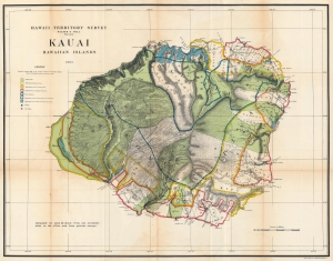
Hawaii Territorial Survey. Kauai Hawaiian Islands.
sold
- Digital Map Information
- Suitable for large format printing
- File Size: 95.27 MB
- File Type: ZIP / TIFF
- ICC color profile embedded
- Delivered instantly via download link
This is a stunning 1903 John M. Donn map of Kauai, created for the Hawaiian Territorial Survey. It is the first comprehensive large-scale modern map of Kauai. (more details)
1st modern survey of Hawaii.
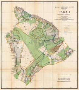
Hawaii Hawaiian Islands.
sold
- Digital Map Information
- Suitable for large format printing
- File Size: 135.38 MB
- File Type: ZIP / TIFF
- ICC color profile embedded
- Delivered instantly via download link
This is a 1906 John M. Donn map of Hawaii, Hawaiian Islands. This map represents the first comprehensive modern survey of Hawaii. (more details)
First comprehensive modern survey of Oahu.
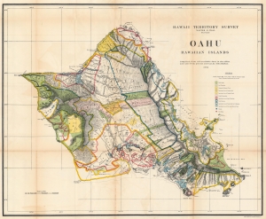
Oahu Hawaiian Islands.
sold
- Digital Map Information
- Suitable for large format printing
- File Size: 107.82 MB
- File Type: ZIP / TIFF
- ICC color profile embedded
- Delivered instantly via download link
This is a 1906 John M. Donn map of Oahu, Hawaiian Islands. It represents the first comprehensive modern mapping of Oahu. (more details)
Unique survivor from the First Hawaii Territory Survey.
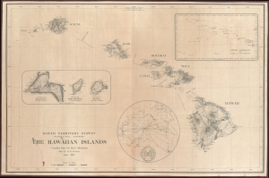
Hawaii Territory Survey. The Hawaiian Islands Compiled from the latest information Map by H. E. Newton June 1919.
sold
- Digital Map Information
- Suitable for large format printing
- File Size: 109.11 MB
- File Type: ZIP / TIFF
- ICC color profile embedded
- Delivered instantly via download link
A singular survivor from the first Hawaiian Territorial Survey, this is Henry E. Newton's 1919 map of the Hawaiian Islands, here in a previously unknown double-sized presentation issue. This is the most important map of Hawaii issued during the territorial period and the foundation for most subsequent maps of the archipelago into the late 20th century. (more details)
From Colonialism to Conservation.
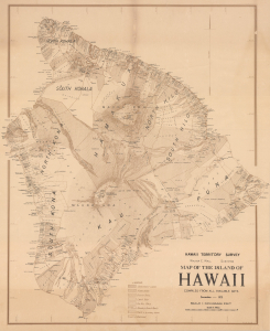
Map of the Island of Hawaii.
sold
- Digital Map Information
- Suitable for large format printing
- Full resolution TIFF file
- ICC color profile embedded
- Delivered instantly via download link
This is a 1928 Walter E. Wall and Joseph Iao survey map of the Island of Hawaii (Big Island), done for the Hawaii Territory Survey. Among other features, it represents land use and land ownership on the island at a time when increasing amounts of land were being dedicated as parkland or forest reserves. (more details)