
Beautiful map of Hempstead, Long Island.

South part of Hempstead, Queens Co. L.I.
sold
- Digital Map Information
- Suitable for large format printing
- File Size: 15.82 MB
- File Type: ZIP / TIFF
- ICC color profile embedded
- Delivered instantly via download link
A scarce example of Fredrick W. Beers' map of the southern part of Hempstead, Long Island, New York. Published in 1873, this magnificent map covers from Jamaica Bay and Far Rockaway eastward past Hicks Beach, Hog Island, Long Beach, Rockville, Freeport, Hempstead ... (more details)
Scarce map of Oyster Bay, Long Island.

Oyster Bay, Queens Co.
sold
- Digital Map Information
- Suitable for large format printing
- File Size: 13.21 MB
- File Type: ZIP / TIFF
- ICC color profile embedded
- Delivered instantly via download link
A scarce example of Fredrick W. Beers' map of the Oyster Bay, Long Island, New York published in 1873. The map covers from Hempstead Harbor eastward as far as Cold Spring Harbor. Bounded on the north by the Long Island Sound. Extends southward as far as Jericho. ... (more details)
Early map of Huntington, Long Island.
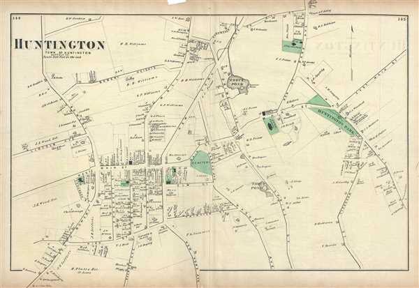
Huntington, Town of Huntington, Suffolk Co.
sold
- Digital Map Information
- Suitable for large format printing
- File Size: 7.66 MB
- File Type: ZIP / TIFF
- ICC color profile embedded
- Delivered instantly via download link
A scarce example of Fredrick W. Beers' map of the town of Huntington, Long Island, New York. Published in 1873. Covers from south Bowery and Lincoln Avenue eastward as far as Huntington Park and Park Avenue. Extends north as far as Shoemaker Land or Hill Street ... (more details)
Early map of Flushing and College Point in Queens, New York City.
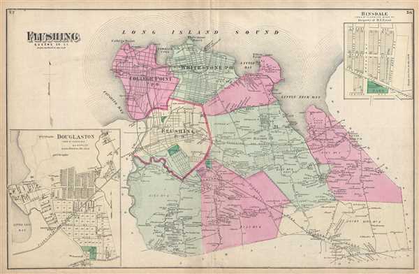
Flushing, Queens Co. L.I.
sold
- Digital Map Information
- Suitable for large format printing
- File Size: 10.46 MB
- File Type: ZIP / TIFF
- ICC color profile embedded
- Delivered instantly via download link
A scarce example of Fredrick W. Beers' map of Flushing and College Point, Queens, New York. Published in 1873. Covers part of what is today northern Queens, New York City, including Flushing, College Point, Whitestone and Bayside. Features an inset map of ... (more details)
Beautiful map of Richmond Hill in Long Island, New York.

Richmond Hill. Laid out expressly for private Residences, and restricted against all nuisances. Property of A. P. Man.
sold
- Digital Map Information
- Suitable for large format printing
- File Size: 9.25 MB
- File Type: ZIP / TIFF
- ICC color profile embedded
- Delivered instantly via download link
A scarce example of Fredrick W. Beers' map of the town of Richmond, Queens, New York. Published in 1873. Covers roughly from Clarenceville north to Newtown Road. Detailed to the level of individual buildings and properties with landowners noted. Richmond ... (more details)
One of the finest maps of Whitestone, Queens, New York City.
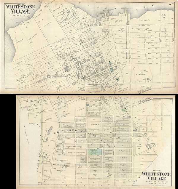
Part of Whitestone Village. Town of Flushing, Queens Co. L.I. / Part of Whitestone Village. Town of Flushing, Queens Co. L.I.
sold
- Digital Map Information
- Suitable for large format printing
- File Size: 24.8 MB
- File Type: ZIP / TIFF
- ICC color profile embedded
- Delivered instantly via download link
A scarce example of Fredrick W. Beers' two map set of the community of Whitestone, Queens, New York published in 1873. Roughly covers the area between the modern day Whitestone Bridge and the Throgs Neck Bridge. More specifically, upper map depicts from ... (more details)
Scarce map of Fort Hamilton in Brooklyn, New York City.

Fort Hamilton, Town of New Utrecht, Kings Co. L.I.
sold
- Digital Map Information
- Suitable for large format printing
- File Size: 5.37 MB
- File Type: ZIP / TIFF
- ICC color profile embedded
- Delivered instantly via download link
A scarce example of Fredrick W. Beers' map parts of the towns of Fort Hamilton, Brooklyn, New York. Published in 1873. Detailed to the level of individual properties and buildings with landowners noted. This is probably the finest atlas map these Long ... (more details)
Beautiful map depicting Canarsie and Jamaica in Brooklyn, New York.

Flatlands, Kings Co. L.I.
sold
- Digital Map Information
- Suitable for large format printing
- File Size: 6.46 MB
- File Type: ZIP / TIFF
- ICC color profile embedded
- Delivered instantly via download link
A scarce example of Fredrick W. Beers' map parts of the region of Flatlands, Brooklyn, New York City. Published in 1873. Includes the communities of Flatlands, South Greenfield, Canarsie and Jamaica Bay. Detailed to the level of individual properties ... (more details)
One of a kind A.B.M.U. Missionary Map of Japan.

Japan showing Missions of eh A.B.M.U.
sold
- Digital Map Information
- Suitable for large format printing
- File Size: 73.19 MB
- File Type: ZIP / TIFF
- ICC color profile embedded
- Delivered instantly via download link
A remarkable find, this is a one of a kind large scale 1904 missionary cotton field map of the Japan drawn by Samuel E. Mann. Centered on the Japan Sea, the map covers from modern day Japan in full as well as adjacent parts of Korea, Manchuria, and ... (more details)
One of a kind A.B.M.U. Missionary Map of Central Africa (Congo).
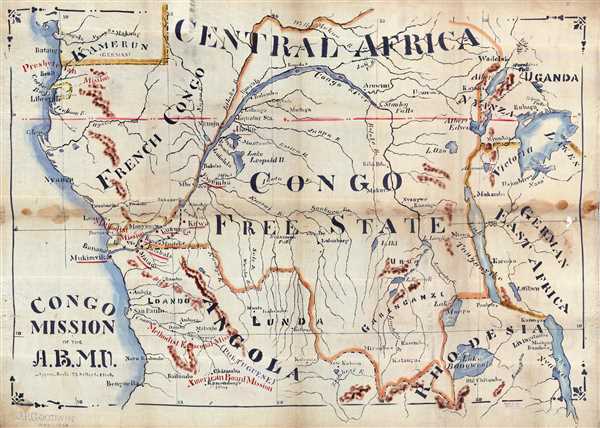
Congo Mission of the A.B.M.U.
sold
- Digital Map Information
- Suitable for large format printing
- File Size: 74.02 MB
- File Type: ZIP / TIFF
- ICC color profile embedded
- Delivered instantly via download link
A remarkable find, this is a one of a kind large scale 1904 missionary cotton field map of the Congo drawn by Samuel E. Mann. Centered on the Congo River the map covers from modern day Cameroon to Benguela, Angola, and eastwards as far as Lake ... (more details)
Exceptional large folding map of Central Park.

sold
- Digital Map Information
- Suitable for large format printing
- File Size: 9.06 MB
- File Type: ZIP / TIFF
- ICC color profile embedded
- Delivered instantly via download link
An altogether extraordinary hand colored map of New York City's Central Park prepared and printed by Knapp for inclusion in the Thirteenth Annual Report of the Board of Commissioners of the Central Park. This is an uncommon variant on the map ... (more details)
The largest and most detailed published map of Central Park to appear in the 19th century.

Central Park, New York City. Official map, By the courtesy of the Department of Parks of the City of New York.
sold
- Digital Map Information
- Suitable for large format printing
- File Size: 339.23 MB
- File Type: ZIP / TIFF
- ICC color profile embedded
- Delivered instantly via download link
Measuring over six feet long, this is the largest known 19th century published map of Central Park, New York City. An altogether extraordinary fine, this rarity is a hand colored map of Central Park prepared and printed for the New York City ... (more details)
Scarce early map of Tuscany and the Papal States.

Status Ecclesiasticus et Magnus Ducatus Thoscanae.
sold
- Digital Map Information
- Suitable for large format printing
- Full resolution TIFF file
- ICC color profile embedded
- Delivered instantly via download link
This is an attractive c.1721 map of depicting central Italy and the regions of Tuscany and the States of the Church or the Papal States by Frederik De Wit. It covers from the Isle of Ariano south as far as Gaeta. The Island of Elba and ... (more details)
Detailed map of Netherlands dating to the early 18th century.
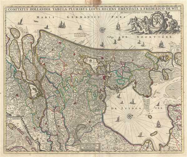
Comitatus Hollandiae tabula Pluribus Locis Recens.
sold
- Digital Map Information
- Suitable for large format printing
- Full resolution TIFF file
- ICC color profile embedded
- Delivered instantly via download link
A beautiful c.1721 map of Holland or the Netherlands by Frederik De Wit. Oriented with north on the right, the map extends from modern day Goeree-Overflakkee north to Texel and inland as far as Wageningen depicting Utrecht and parts of ... (more details)
Map of Western Ukraine featuring the Carpathians.
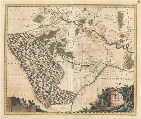
Ukrainae pars quae Pokutia Vulgo dicitur.
sold
- Digital Map Information
- Suitable for large format printing
- Full resolution TIFF file
- ICC color profile embedded
- Delivered instantly via download link
This is a scarce c.1721 Covens and Mortier edition of the map of the western parts of Ukraine and vicinity. It covers the historic area of East-Central Europe known at the time as Pokuttya or Pokkutia. It covers from the Carpathian ... (more details)
Early map representing the County of Moers, Germany.

Illustrissimo Celsissmo Principi Guilielmo Henrico D.G. Arausionum Principi Domino suo Clementissimo Hanc Comitatus Meursensis et Annexarum Dinastiarum.
sold
- Digital Map Information
- Suitable for large format printing
- Full resolution TIFF file
- ICC color profile embedded
- Delivered instantly via download link
This is an attractive c.1721 map of the county of Moers, Germany by Frederik De Wit. The map depicts what was then the County of Moers, on the western bank of the Rhine River. The entire map is depicted in extraordinary detail, ... (more details)
Beautiful map of Brabant, part of modern day Belgium and the Netherlands.

Brabantiae pars Orientalis.
sold
- Digital Map Information
- Suitable for large format printing
- Full resolution TIFF file
- ICC color profile embedded
- Delivered instantly via download link
This is an attractive c.1721 map of the Duchy of Brabant by Frederik De Wit. The map depicts part of modern day Belgium and the Netherlands, which were at the time this map was made, part of the Duchy of Brabant. It extends ... (more details)
Early decorative map of Italy.
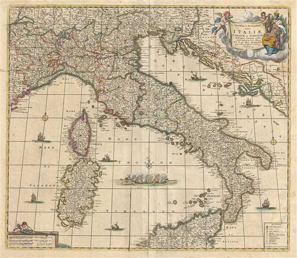
Novissima et Accuratissima totius Italiae, Corsicae et Sardiniae Descriptio Correcta, multis auct Locis et Viis editaque.
sold
- Digital Map Information
- Suitable for large format printing
- Full resolution TIFF file
- ICC color profile embedded
- Delivered instantly via download link
This is an attractive c.1721 map of Italy by Frederik De Wit. It covers Italian Peninsula in its entirety including the Dalmatian coast, at the time controlled by the Republic of Venice. Also includes the islands of Corsica ... (more details)
Early 18th century map of the Hesse-Kassel region of Germany.
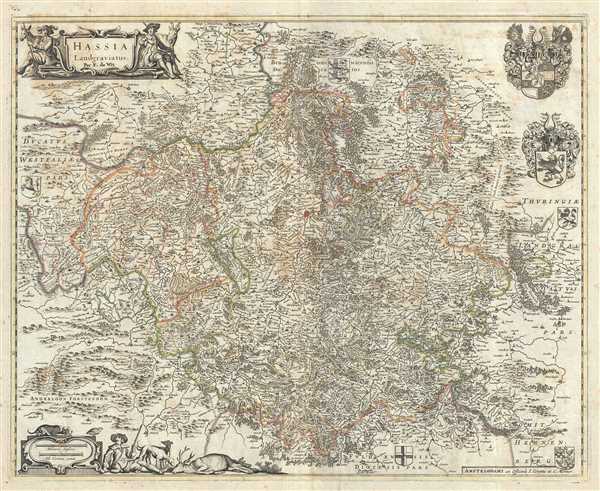
Hassia Landgraviatus.
sold
- Digital Map Information
- Suitable for large format printing
- Full resolution TIFF file
- ICC color profile embedded
- Delivered instantly via download link
This is a beautiful c.1721 map of the Hesse-Kassel region in Germany by Frederik De Wit. The map depicts the Landgraviate of Hesse with its capital Kassel (here noted Cassel), which forms the northern parts of the modern ... (more details)
Scarce map of the Electorate of Trier, Germany.
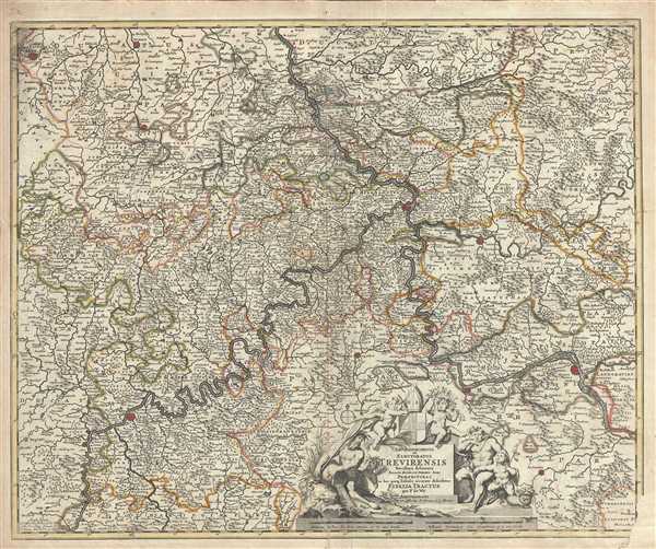
Archiepiscopatus et Electoratus Trevirensis Novissima delineatio Exacte divisa in omnes Suas Praefecturas
sold
- Digital Map Information
- Suitable for large format printing
- Full resolution TIFF file
- ICC color profile embedded
- Delivered instantly via download link
This is a beautiful c.1721 map of the Electorate of Trier, in Germany by Frederik De Wit. It covers from Duren to Trier and includes the important cities of Bonn, Mainz, Trier and Kolbenz. The entire region is depicted ... (more details)