
The first, largest, and finest star maps of the 19th century.

Coelum Stellatum Hemisphaerium Librae / Coelum Stellatum Hemisphaerium Arietis.
sold
- Digital Map Information
- Suitable for large format printing
- DPI: 300
- File Size: 51.59 MB
- File Type: ZIP / TIFF
- ICC color profile embedded
- Delivered instantly via download link
A rare and extraordinary pair of elephant folio celestial hemisphere charts or star maps issued in 1801 by Johann Elert Bode. Considered the largest and most dramatic celestial map of its era, possibly ever published, these gigantic star charts detail thousands of ... (more details)
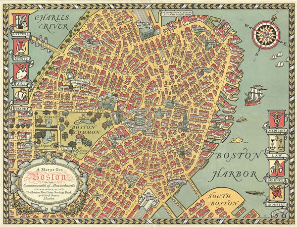
A Map of Old Boston in the Commonwealth of Massachusetts.
sold
- Digital Map Information
- Suitable for large format printing
- Full resolution TIFF file
- ICC color profile embedded
- Delivered instantly via download link
This is a quaint and charming pictorial map of the tourist sites of downtown Boston in 1929. This map was drawn by Charles R. Capon for the Boston Five Cents Savings Bank – which is located at the center of the map. The map depicts important buildings and ... (more details)
Identifies the Sea of Korea.

Carte de la Province de Quan-tong, ou Lyau-tong et du Royaume de Kau-li ou Coree .
sold
- Digital Map Information
- Suitable for large format printing
- Full resolution TIFF file
- ICC color profile embedded
- Delivered instantly via download link
This is an uncommon 1749 map of Korea by Jacques Nicholas Bellin. Centered on the west coast of Korea (Corea), this map covers all of peninsular Korea as well as adjacent parts of Manchuria and China. Korea, as presented here takes on a trapezoidal form ... (more details)

Johnson's Nebraska, Dakota, Idaho, and Montana.
sold
- Digital Map Information
- Suitable for large format printing
- Full resolution TIFF file
- ICC color profile embedded
- Delivered instantly via download link
This is A. J. Johnson's significant 1866 map of the Idaho, Montana, Wyoming, Dakota and Nebraska. Johnson first introduced this map in 1865 to accommodate a renewed interested in this region following the close of the American Civil War. During the ... (more details)

Johnson's Georgetown and the City of Washington The Capital of the United States of America.
sold
- Digital Map Information
- Suitable for large format printing
- Full resolution TIFF file
- ICC color profile embedded
- Delivered instantly via download link
This is a beautiful example of A. J. Johnson's 1866 map of Washington D.C. and Georgetown. It offers a fascinating snapshot of the nation's capital shortly after the close of the American Civil War. Shows the city in considerable detail with color ... (more details)

Johnson's New Map of the State of Texas.
sold
- Digital Map Information
- Suitable for large format printing
- Full resolution TIFF file
- ICC color profile embedded
- Delivered instantly via download link
This is an exceptional example of A. J. Johnson's highly desirable 1866 map of Texas. Created during the American Civil War, this extraordinary folio map details the state of Texas in full. Identifies the elevated Table Lands, El Llando Estadado ... (more details)

Johnson's Florida.
sold
- Digital Map Information
- Suitable for large format printing
- Full resolution TIFF file
- ICC color profile embedded
- Delivered instantly via download link
A beautiful example of A. J. Johnson and Ward's 1866 map of Florida. This rare map offers a fascinating snapshot of this secessionist state shortly following the outbreak of the American Civil War. Map shows Florida in full with color coding ... (more details)

Johnson's West Indies.
sold
- Digital Map Information
- Suitable for large format printing
- Full resolution TIFF file
- ICC color profile embedded
- Delivered instantly via download link
This is a beautiful example of A. J. Johnson's 1866 map of the West Indies. It covers from Florida to Venezuela and from Honduras to Barbados. Includes the Bahamas, Cuba, Jamaica, Santo Domingo (Hispaniola), Porto Rico, and the Lesser ... (more details)
Impressive nautical chart detailing Singapore.

East India Archipelago (Western Route to China Chart no. 2)
sold
- Digital Map Information
- Suitable for large format printing
- File Size: 55.99 MB
- File Type: ZIP / TIFF
- ICC color profile embedded
- Delivered instantly via download link
A large and impressive 1891 nautical chart by James Imray covering eastern Malaya (Malaysia), Singapore, and parts of Borneo and Sumatra. (more details)
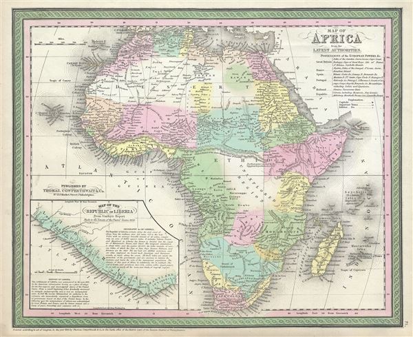
Map of Africa, from the Latest Authorities.
sold
- Digital Map Information
- Suitable for large format printing
- Full resolution TIFF file
- ICC color profile embedded
- Delivered instantly via download link
This is a fine example of Thomas Cowperthwait and S. A. Mitchell's 1854 map of Africa and Liberia. Details the continent of Africa on the cusp of the great exploratory expeditions of the mid-19th century undertaken by Speke, ... (more details)
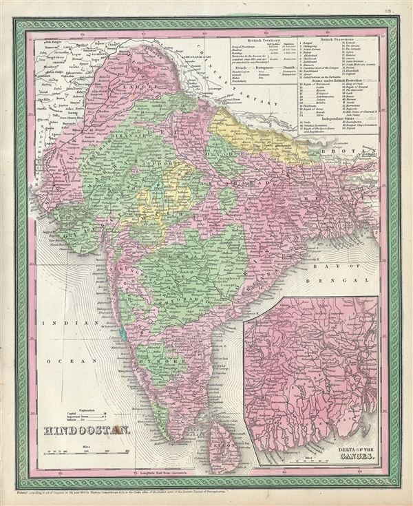
Hindoostan.
sold
- Digital Map Information
- Suitable for large format printing
- Full resolution TIFF file
- ICC color profile embedded
- Delivered instantly via download link
This is an attractive example of Thomas Cowperthwait and S. A. Mitchell's 1854 map of India. It covers the Indian subcontinent in considerable detail, with princely states and British possessions color coded. An inset in ... (more details)

Palestine and Adjacent Countries.
sold
- Digital Map Information
- Suitable for large format printing
- Full resolution TIFF file
- ICC color profile embedded
- Delivered instantly via download link
This is a fine example of Thomas Cowperthwait and S. A. Mitchell's 1854 map of Palestine, Israel, or the Holy Land. This map is a curious combination of a contemporary and a historic map. The color coding details the ... (more details)

Greece.
sold
- Digital Map Information
- Suitable for large format printing
- Full resolution TIFF file
- ICC color profile embedded
- Delivered instantly via download link
This is a fine example of Thomas Cowperthwait and S. A. Mitchell's 1854 map of Greece. It covers the southern part of modern Greece including the Peloponnese (Morea), the Negroponte, and Karalla, as well as the Ionian ... (more details)
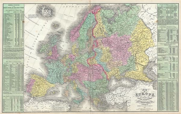
Map of Europe Compiled from the Latest Authorities.
sold
- Digital Map Information
- Suitable for large format printing
- Full resolution TIFF file
- ICC color profile embedded
- Delivered instantly via download link
This is a scarce Thomas Cowperthwait and S. A. Mitchell's 1854 map of Europe. It covers the entirety of the continent, including Iceland and parts of Turkey, from the Arctic Ocean to the Mediterranean Sea and from ... (more details)

Creta Louis Magni Medio Iacet Insula Ponto.
sold
- Digital Map Information
- Suitable for large format printing
- DPI: 300
- File Size: 11.1 MB
- File Type: ZIP / TIFF
- ICC color profile embedded
- Delivered instantly via download link
A scarce 1606 old color Abraham Orteilus map of the Mediterranean island of Crete, Corsica, Sardinia, and the Ionian Islands in antiquity. Essentially four maps on one sheet. The upper left map details Corsica, ... (more details)
An extraordinary and rare elephant folio map of Asia naming boh the Sea of Korea and the Eastern Sea.
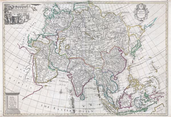
Asia Corrected from the Observations communicated to the Royal Society at London and the Royal Academy at Paris.
sold
- Digital Map Information
- Suitable for large format printing
- DPI: 300
- File Size: 35.55 MB
- File Type: ZIP / TIFF
- ICC color profile embedded
- Delivered instantly via download link
An exception c. 1725 elephant folio (large format) map of Asia by the English cartographer John Senex. This remarkable map covers the entirety of Asia from the Mediterranean to Japan and from Nova Zembla to Java ... (more details)
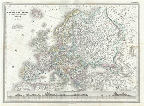
Carte Generale de Europe Actuelle.
sold
- Digital Map Information
- Suitable for large format printing
- Full resolution TIFF file
- ICC color profile embedded
- Delivered instantly via download link
This is a beautiful 1860 elephant folio map of Europe by A. H. Dufour. It covers the entirety of the continent, including Iceland and parts of Turkey, from the Arctic Ocean to the Mediterranean Sea and from the ... (more details)
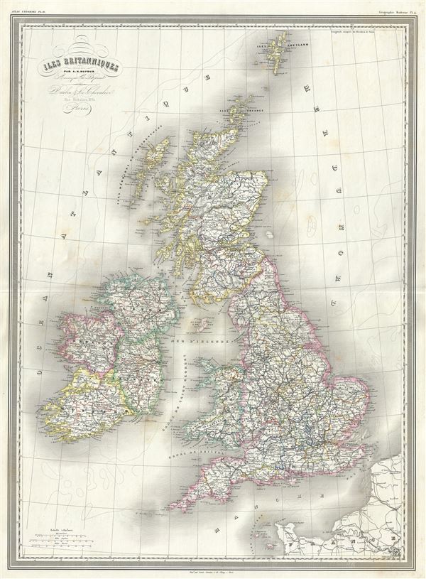
Iles Britanniques.
sold
- Digital Map Information
- Suitable for large format printing
- Full resolution TIFF file
- ICC color profile embedded
- Delivered instantly via download link
This is a beautiful 1860 elephant folio map of the British Isles or Great Britain and Ireland by A. H. Dufour. It includes England, Wales, Scotland and Ireland and covers from the Shetland Islands to the ... (more details)
A fine 18th century wall map of North America.
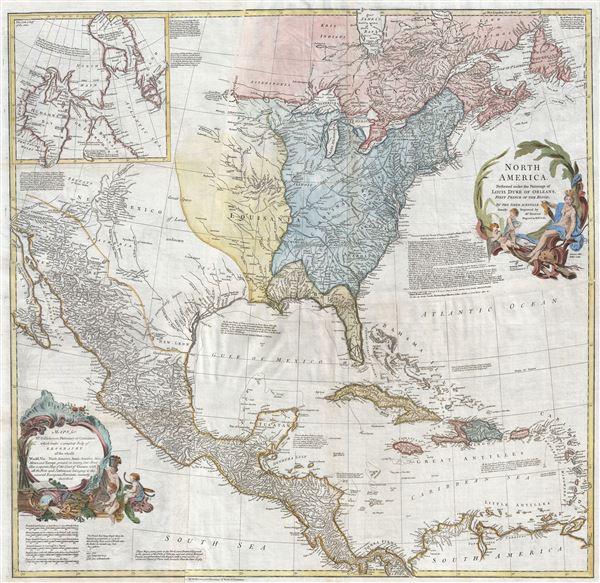
North America.
sold
- Digital Map Information
- Suitable for large format printing
- DPI: 300
- File Size: 40.31 MB
- File Type: ZIP / TIFF
- ICC color profile embedded
- Delivered instantly via download link
This is an exceptionally interesting and beautiful 1766 wall map of North America composed by Malachy Postlethwayte. Postlethwayte, an Englishman, prepared this map for issue in conjunction with the 3rd ... (more details)

Empire d'Autriche.
sold
- Digital Map Information
- Suitable for large format printing
- Full resolution TIFF file
- ICC color profile embedded
- Delivered instantly via download link
This is a fine large format 1860 elephant folio map of the Austrian Empire by A. H. Dufour. The map covers the territories claimed by the once vast Austrian Empire, including in whole or part the modern ... (more details)