
Azara, Félix de (sold)
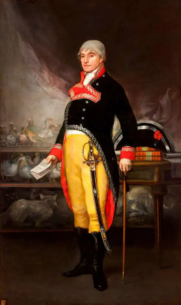
Azara, Félix de (May 18, 1742 - October 20, 1821) was a Spanish military officer, naturalist, and engineer. He joined the Army, and received training as an engineer in a Spanish military academy. His thirteen year career in the Army would see him promoted to Brigadier General. He spent twenty years in the Rio de la Plata region of South America as a delegate under the treaty of San Ildefonso, during which period he undertook to create an accurate map of the region. On the surveys, he also recorded the fauna the region, in particular cataloguing nearly four hundred species of bird. On his return to Europe in 1801 he wrote and published in Paris his Voyage dans l'Amerique meridionale depuis 1781 jusqu'en 1801 (1809) which contained his observations on the region's geography, natural features, and indigenous groups. His work was praised for thoroughness and accuracy, and was well regarded by Darwin. He died of pneumonia on October 20, 1821.
The best 18th century survey of the interior of South America
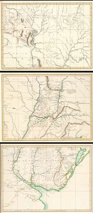
(Untitled Maps of the Viceroyalty of the Río de la Plata)
sold
- Digital Map Information
- Suitable for large format printing
- Full resolution TIFF file
- ICC color profile embedded
- Delivered instantly via download link
This is a set of three 1809 maps of the Rio de la Plata region of South America, produced by the Spanish border commissioner and military engineer Félix de Azara. The map shows the results of Azara's surveys, made over the course of twenty years, in order to fix the borders between the Spanish and the Portuguese colonies there pursuant to the First Treaty of San Ildefonso. Beyond simply establishing the border of Brazil, the surveys were intended to realize the establishment of The Viceroyalty of the Río de la Plata (Virreinato del Río de la Plata), the last organized and the shortest-lived of the Viceroyalties of the Spanish Empire in the Americas.
The Viceroyalty was first established in 1776, and comprised parts of modern day Argentina, Chile, Bolivia, Paraguay and Uruguay. Its borders contained the watersheds of the Parana, Uruguay, and Paraguay Rivers from the Rio de la Plata up to Bolivia and Brazil. Buenos Aires was to be the capital, chosen because of its position opposite the Río de la Plata estuary from the Portuguese outpost of Colonia del Sacramento. Very little of these lands had been well surveyed prior to the treaty, and for Azara's team to be successful in fixing the borders such surveys had to be undertaken. In many cases, the treaty indicated that the border should fall on rivers which in fact did not exist.
The three untitled maps are as follows: (more details)
The Viceroyalty was first established in 1776, and comprised parts of modern day Argentina, Chile, Bolivia, Paraguay and Uruguay. Its borders contained the watersheds of the Parana, Uruguay, and Paraguay Rivers from the Rio de la Plata up to Bolivia and Brazil. Buenos Aires was to be the capital, chosen because of its position opposite the Río de la Plata estuary from the Portuguese outpost of Colonia del Sacramento. Very little of these lands had been well surveyed prior to the treaty, and for Azara's team to be successful in fixing the borders such surveys had to be undertaken. In many cases, the treaty indicated that the border should fall on rivers which in fact did not exist.
The three untitled maps are as follows: (more details)
Highlighting Brazilian Transgressions in the Banda Oriental.
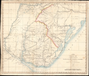
Carta Geografica que Comprehende los Rios de la Plata, Paranà, Uruguay, y Grande y los Terrenos adyacentes conforme a' los Comisionados de la Linea de limites 1820.
sold
- Digital Map Information
- Suitable for large format printing
- File Size: 15.73 MB
- File Type: ZIP / TIFF
- ICC color profile embedded
- Delivered instantly via download link
This is an 1825 map of the lands comprising present-day Uruguay, produced anonymously by Argentinian diplomat Ignacio Núñez to garner European support for the United Provinces of the Río de la Plata in the Cisplatine war against the Empire of Brazil. While the mapmakers are unnamed, the map draws on the work of Spanish border commissioners and engineers Félix de Azara, Jose Maria Cabrer, and others. It presented to a European audience the frontier agreed upon in the 1777 Treaty of Ildefonso between the Spanish and Portuguese Empires in South America - thus emphasizing that Brazil's invasion occupation of Montevideo was a breach of treaty. (more details)
The post-revolutionary Dictatorship of Paraguay.
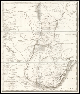
Carte des Etats Situés Sur Le Rio Paraguay, le Parana et L'Uruguay.
sold
- Digital Map Information
- Suitable for large format printing
- DPI: 600
- File Size: 37.74 MB
- File Type: ZIP / TIFF
- ICC color profile embedded
- Delivered instantly via download link
This is a scarce, folding map of Paraguay, Uruguay, and their neighboring regions, printed by Berthe to accompany J. R. Rengger's 1827 history of Paraguay and its first dictator. This region at the heart of South America was, in the 19th century, one of the least-known and most remote parts of the inhabited world. The map is derived from the 1809 work of Spanish border commissioner and military engineer Félix de Azara - Rengger was no cartographer, and Azara's work remained the best available. The map has been updated to reflect Rengger's reports, however, and as such it is the best cartographic depiction of Paraguay and its vicinity during the government of José Gaspar Rodríguez de Francia (lasting from 1811 until his 1840 death). (more details)
Extremely Rare: the first detailed map of the Republic of Uruguay.
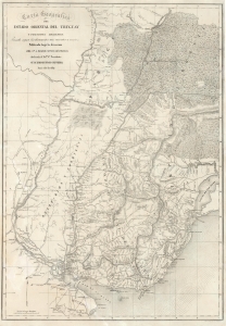
Carta Geografica del Estado Oriental del Uruguay y Posesiones Adyacentes Trazada segun los documentes mas recentes y exactes.
sold
- Digital Map Information
- Suitable for large format printing
- DPI: 600
- File Size: 83.16 MB
- File Type: ZIP / TIFF
- ICC color profile embedded
- Delivered instantly via download link
This is an extremely rare, separately issued lithograph 1841 map of the Republic of Uruguay during the early years of Uruguay's Independence and civil war. It was published in Paris on behalf of the French diplomat, Aimé Roger, and can be considered the first, detailed map of the independent Republic. (more details)