
Esnauts and Rapilly (sold)

Esnauts and Rapilly (fl. c. 1775 - 1811) were Paris based print sellers and publishers active in the latter part of the 18th century. The firm was founded by Jacques Esnauts and Michel Rapilly. Esnauts and Rapilly are best known not for their cartographic works, but rather for their fashion prints. The important publication La Galerie des Modes highlighted the fashions of the French aristocracy just prior to the French Revolution and is considered to be the first published "fashion magazine". At this time, Paris was the center of the fashion world and Esnauts and Rapilly's plates were widely distributed to eager fashionistas the world over. The firm also published a number of important and influential maps including several depicting pivotal moments in the American Revolutionary War. Not wanting to miss out on potential customers, Esnauts and Rapilly gave exact directions to their bookshop on many of their publications: "at the Baker's shop, opposite the Cutler."
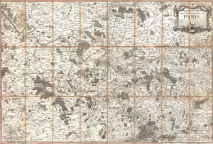
Nouveau Plan des Environs de Paris d'apres les Nouvelles Observations de M.M. de l'Academie Rle. Des Sciences.
sold
- Digital Map Information
- Suitable for large format printing
- DPI: 300
- File Size: 32.04 MB
- File Type: ZIP / TIFF
- ICC color profile embedded
- Delivered instantly via download link
A stunning 1775 pocket map of the environs of Paris, France by the firm of Esnauts & Rapilly. Covers the greater Paris area from Chartres in the southwest to La Ferte in the northeast and from Vernon in the northwest to Bray in the southeast. Offers incredible ... (more details)
Essential Map Bringing the American Revolution to a French Audience.
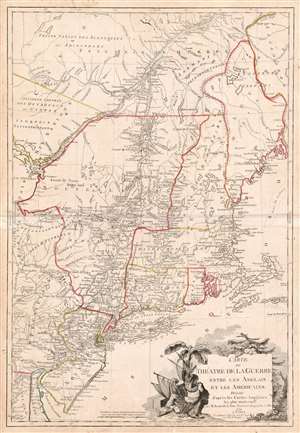
Carte du Theatre de la Guerre entre les Anglais et Les Americains.
sold
- Digital Map Information
- Suitable for large format printing
- DPI: 600
- File Size: 37.33 MB
- File Type: ZIP / TIFF
- ICC color profile embedded
- Delivered instantly via download link
This is a scarce, separately published American Revolutionary War map of New York and New England. First issued by Brion de la Tour in 1777, this map was intended to illustrate the important events at the height of the war. Brion de la Tour's map covers from the Delaware and Chesapeake Bays northward as far as Quebec City, inclusive of New York (with modern day Vermont), New Jersey, Massachusetts, Connecticut, New Hampshire, and parts of Pennsylvania, Maryland, Delaware, Maine, and Canada. It offers both political and topographical detail including mountains, rivers, roadways, regional boundaries, American Indian nations, towns, and cities. (more details)
Map that brought the French into the American Revolutionary War.
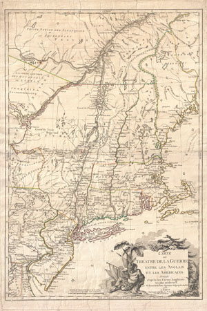
Carte du Theatre de la Guerre entre les Anglais et Les Americains.
sold
- Digital Map Information
- Suitable for large format printing
- DPI: 300
- File Size: 28.67 MB
- File Type: ZIP / TIFF
- ICC color profile embedded
- Delivered instantly via download link
First edition example of an extremely significant map of New York and New England. Issued by Brion de la Tour in 1777, this map was intended to illustrate the important events at the height of the American Revolutionary War. Brion's map covers from the ... (more details)
Revolutionary War map of the United States drawn to capitalize on French interest in the war.
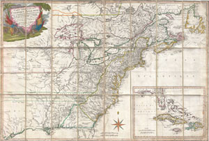
Carte Generale Des Colonies Angloises Dans L'Amerique Septentrionale.
sold
- Digital Map Information
- Suitable for large format printing
- Full resolution TIFF file
- ICC color profile embedded
- Delivered instantly via download link
This is an important and extremely rare 1779 case map of the English colonies in in North America at the height of the American Revolutionary War. Focusing on the English Colonies, this map covers the eastern part of North America from the Hudson Bay ... (more details)
Pristine 18th century case or pocket map of Paris, France.
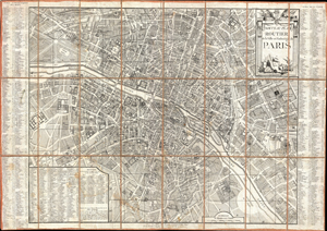
Nouveau Plan Routier de la Ville et Faubourgs de Paris.
sold
- Digital Map Information
- Suitable for large format printing
- DPI: 300
- File Size: 109.23 MB
- File Type: ZIP / TIFF
- ICC color profile embedded
- Delivered instantly via download link
An extraordinary map of pre-Haussmann pre-Revolutionary Paris and the early Faubourgs (suburbs) issued in 1780, during the final decade of the French Monarchy. Covers Paris on Both sides of the Seine from the Ecole Militaire to the Hospital de la ... (more details)
Pristine 18th century case or pocket map of Paris, France.
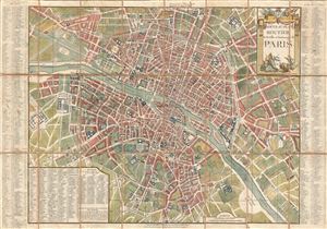
Nouveau Plan Routier de la Ville et Faubourgs de Paris.
sold
- Digital Map Information
- Suitable for large format printing
- DPI: 300
- File Size: 34.75 MB
- File Type: ZIP / TIFF
- ICC color profile embedded
- Delivered instantly via download link
A fine 1781 dissected pocket map of Paris issued by Esnauts and Rapilly. Centered on the Seine, this map depicts Pre-Revolutionary pre-Haussmann Paris. Covers Paris on Both sides of the Seine from the Ecole Militaire to the Hospital de la ... (more details)
Fine pre-Revolution map of Paris.
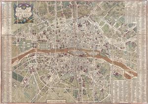
Nouveau Plan Routier de la Ville et Faubourg de Paris.
sold
- Digital Map Information
- Suitable for large format printing
- DPI: 300
- File Size: 31.11 MB
- File Type: ZIP / TIFF
- ICC color profile embedded
- Delivered instantly via download link
A fine 1782 dissected pocket map of Paris issued by Esnauts and Rapilly. Centered on the Seine, this map depicts Pre-Revolutionary Paris. As this map was being drawn Benjamin Franklin was the toast of the town, visiting to negotiate the ... (more details)
Revolutionary Paris just prior to the rise of the Jacobins and the Reign of Terror.
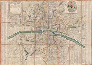
Nouveau Plan Routier de la Ville et Fauxbourgs de Paris.
sold
- Digital Map Information
- Suitable for large format printing
- DPI: 300
- File Size: 31.15 MB
- File Type: ZIP / TIFF
- ICC color profile embedded
- Delivered instantly via download link
A fine 1791 dissected pocket map of Paris issued by esnauts and Rapilly. Centered on the Seine, this map depicts Revolutionary Paris just following the 1789 storming of the Bastille. France at this time was in the early stages of the ... (more details)
On the cusp of Imperial glory.
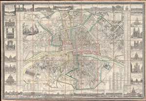
Nouveau Plan Routier de la Ville et Faubourgs de Paris Avec ses Principaux Edifices et Nouvelles Barrieres.
sold
- Digital Map Information
- Suitable for large format printing
- Full resolution TIFF file
- ICC color profile embedded
- Delivered instantly via download link
This is a striking 1804 Pichon and Esnault city plan or map of Paris, France, published during the last (13th) year of the French First Republic. This map marks a critical moment in Parisian history, when under Napoleon Bonaparte (1769 - 1821), the city transformed from a national into an imperial capital. Napoleon crowned himself Emperor of France on December 2, 1804, and immediately embarked upon a series of ambitious civic and urban developments intended to transform Paris into an imperial capital on the model of ancient Rome. (more details)