
Gannett, Henry (sold)
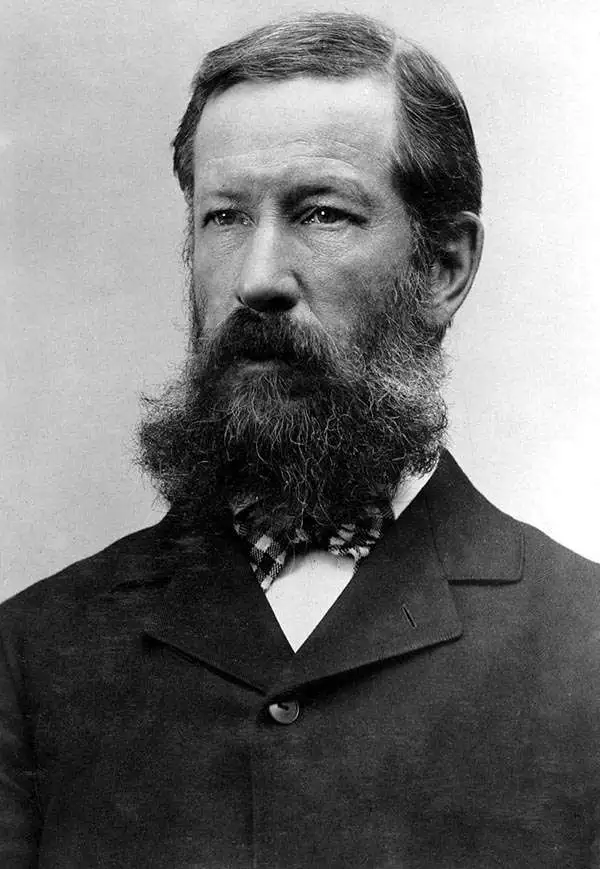
Henry Gannett (August 24, 1846 - November 5, 1914) was an American geographer who is described as the 'Father of American topographic map making'. Born in Bath, Maine, Gannett entered Harvard at the age of twenty and received a bachelor's degree in 1869. He earned the degree of mining engineer from the Hooper Mining School in 1870. He joined the Hayden Survey in 1871, at the age of twenty-one, and continued worked for its successor, the U.S. Geological Survey until his death. Gannett was among those lobbying to centralize all government mapmaking under one agency. Before the creation of the United States Geological Survey, individual mapmakers and agencies had to compete for money from Congress to fund projects. He became chief geographer of the U.S. Geological Survey, a position he held for fifteen years. Most of the Survey's map-making methods developed during his tenure as chief geographer. Gannett also earned a reputation as an indefatigable compiler of geographic materials. His first job with the USGS was geographer of the 1880 United States Census. The completion of the census in 1882 is considered the start of true topographical work in the United States and the birth of the quadrangle. Gannet served as chief geographer on two subsequent censuses, 1890 and 1900, and was one of the founding members of the National Geographic Society. Gannett was also one of the founders of the Association of American Geographers and the Geological Society of America. Gannet organized the Board of Geographic Names, which became a permanent part of the federal government and considers geographic names in official use. Gannett served as chairman of this Board from 1894. Upon his death, the Annals of the Association of American Geographers lamented, 'in the death of Henry Gannett American Science has lost one of the pioneers who had an important share in the development of geography in this country into an organized science'. Gannett married Mary E. Chase in 1874 with whom he had two daughters and a son.
Yellowstone's geology.
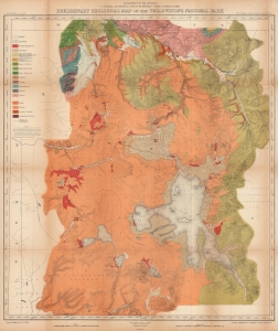
Preliminary Geological Map of the Yellowstone National Park.
sold
- Digital Map Information
- Suitable for large format printing
- File Size: 150.13 MB
- File Type: ZIP / TIFF
- ICC color profile embedded
- Delivered instantly via download link
This is an 1878 Ferdinand V. Hayden geological map of Yellowstone National Park. Published only six years after the park's creation, this map represents one of the great American 19th century survey expeditions. Hayden's work was instrumental in inspiring Congress to create Yellowstone National Park, and the park system as an institution, in 1872. (more details)
Early U.S. Geological Survey and Charles Sargent arboreal map of North America depicting oak trees.
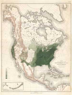
Map Showing the Distribution of the Genus Quercus (the Oaks) in North America Exclusive of Mexico.
sold
- Digital Map Information
- Suitable for large format printing
- File Size: 11.71 MB
- File Type: ZIP / TIFF
- ICC color profile embedded
- Delivered instantly via download link
This is an 1884 Charles Sprague Sargent arboreal thematic map of North America. The map depicts the continent of North America from the Arctic Ocean, Alaska, and Canada south to Mexico and Central America as well as the extreme northern reaches of South America and ... (more details)
Early U.S. Geological Survey and Charles Sargent arboreal map of North America depicting pine trees.
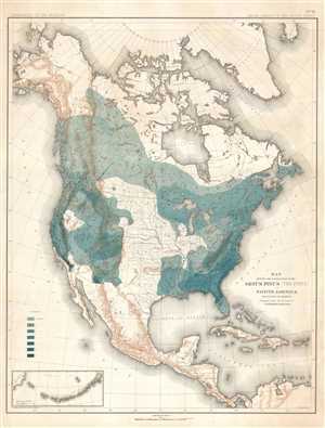
Map Showing the Distribution of the Genus Pinus (the Pines) in North America Exclusive of Mexico.
sold
- Digital Map Information
- Suitable for large format printing
- File Size: 11.66 MB
- File Type: ZIP / TIFF
- ICC color profile embedded
- Delivered instantly via download link
This is an 1884 Charles Sprague Sargent arboreal thematic map of North America. The map depicts the continent of North America from the Arctic Ocean, Alaska, and Canada south to Mexico and Central America as well as the extreme northern reaches of South America and ... (more details)
Early U.S. Geological Survey and Charles Sargent arboreal map of the U.S. depicting beech trees.
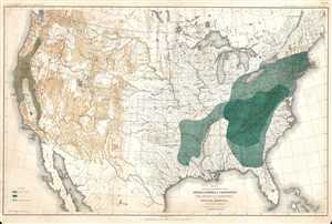
Map Showing the Distribution of the Genera Castanea and Castanopsis (The Chestnuts and Chinquapins) in North America. Exclusive of Mexico.
sold
- Digital Map Information
- Suitable for large format printing
- File Size: 12.51 MB
- File Type: ZIP / TIFF
- ICC color profile embedded
- Delivered instantly via download link
This is an 1884 Charles Sprague Sargent arboreal thematic map of North America. The map depicts the United States from Canada to Mexico and from the Pacific Ocean to the Atlantic Ocean. It was part of a portfolio entitled Sixteen Maps Accompanying Report on Forest ... (more details)
Important Charles Sargent arboreal map of North American forests.
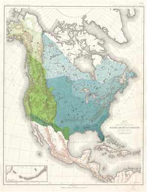
Map Showing the Natural Divisions of the North American Forests. Exclusive of Mexico.
sold
- Digital Map Information
- Suitable for large format printing
- File Size: 11.33 MB
- File Type: ZIP / TIFF
- ICC color profile embedded
- Delivered instantly via download link
This is an 1884 Charles Sprague Sargent arboreal thematic map of North America. The map depicts the continent of North America from the Arctic Ocean, Alaska, and Canada south to Mexico and Central America, as well as the extreme northern reaches of South America ... (more details)
Important Charles Sargent forestry map of the U.S. depicting walnut trees.
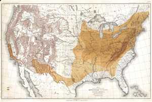
Map Showing the Distribution of the Genus Juglans (the Walnuts) in North America. Exclusive of Mexico.
sold
- Digital Map Information
- Suitable for large format printing
- File Size: 14.03 MB
- File Type: ZIP / TIFF
- ICC color profile embedded
- Delivered instantly via download link
This is an 1884 Charles Sprague Sargent arboreal thematic map of North America. The map depicts the United States from Canada to Mexico and from the Pacific Ocean to the Atlantic Ocean. It was part of a portfolio entitled Sixteen Maps Accompanying Report on ... (more details)
Early U.S. Geological Survey and Charles Sargent arboreal map of the U.S. depicting hickory trees and the California Laurel.
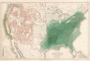
Map Showing the Distribution of the Genera Carya and Umberllularia (The Hickories and California Laurel) in North America Exclusive of Mexico.
sold
- Digital Map Information
- Suitable for large format printing
- File Size: 13.64 MB
- File Type: ZIP / TIFF
- ICC color profile embedded
- Delivered instantly via download link
This is an 1884 Charles Sprague Sargent arboreal thematic map of North America. The map depicts the United States from Canada to Mexico and from the Pacific Ocean to the Atlantic Ocean. It was part of a portfolio entitled Sixteen Maps Accompanying Report on ... (more details)