
LeSourd, Gilbert Quinn (sold)

Gilbert Quinn LeSourd (February 1, 1887 - June 22, 1962) was an American missionary, educator, reverend, and publisher active in New York and New Jersey in the early 20th century. LeSourd was born in Seattle, Washington. He received his early education at the College of Puget Sound, followed by and a bachelor of divinity from Drew Theological Seminary, an da doctorate of philosophy from New York University. LeSourd was the owner of Friendship Press, a printing house focused on missionary texts, maps, and other educational materials. He was also the Associate Secretary of the Missionary Education Movement. LeSourd died in Schenectady, New York.
The largest American pictorial map of China to predate World War II.
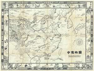
Picture Map of China. 中國地圖
sold
- Digital Map Information
- Suitable for large format printing
- File Size: 42.98 MB
- File Type: ZIP / TIFF
- ICC color profile embedded
- Delivered instantly via download link
This is a striking large format 1932 pictorial wall map of China illustrated by Frank Randolph Southard in 1932. The map covers all of China as well as neighboring Korea and parts of Japan. It is surrounded by an elaborate decorative border featuring Chinese ... (more details)
The largest American pictorial map of China to predate World War II.
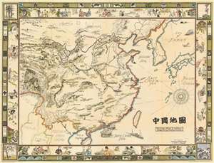
Picture Map of China. 中國地圖
sold
- Digital Map Information
- Suitable for large format printing
- File Size: 89.86 MB
- File Type: ZIP / TIFF
- ICC color profile embedded
- Delivered instantly via download link
This is a striking large format 1932 pictorial wall map of China illustrated by Frank Randolph Southard in 1932. The map covers all of China as well as neighboring Korea and parts of Japan. It is surrounded by an elaborate decorative border featuring Chinese iconography as well as views of Chinese street and country life. The map embraces the romanticized view of Chinese life and culture that many Americans held before World War II. It is moreover, the only large format American pictorial map of China to be issued before the war. While the present map is uncolored, Southard intended the map to be colorized by the buyer. (more details)
Proof state of a rare pictorial wall map of India.
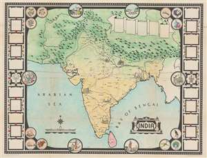
Picture Map of India.
sold
- Digital Map Information
- Suitable for large format printing
- Full resolution TIFF file
- ICC color profile embedded
- Delivered instantly via download link
This is a 1946 Friendship Press pictorial map of India, in a rare incomplete proof state. Predating the Partition of India by one year, the map depicts the region from Iran to Burma and from China and the Soviet Union to Sri Lanka (Ceylon). Profile views of buildings mark certain cities, such as the Taj Mahal, at Agra. Other cities and towns are labeled throughout, including Bombay, Hyderabad, Peshawar, Lahore, Delhi, Calcutta, and Karachi. Provinces throughout India are illustrated and labeled. Railroads connect almost all of India's major cities. India's natural wonders, the Himalayas, and the Indus and Ganges Rivers are also evident. (more details)
Pastedowns allow a glimpse into the evolution of this wonderful piece!
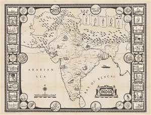
India.
sold
- Digital Map Information
- Suitable for large format printing
- Full resolution TIFF file
- ICC color profile embedded
- Delivered instantly via download link
This is a 1946 Friendship Press pictorial map of India, in a rare incomplete proof state. Predating the Partition of India by one year, the map depicts the region from Iran to Burma and from China and the Soviet Union to Sri Lanka (Ceylon). Profile views of buildings mark certain cities, such as the Taj Mahal, at Agra. Other cities and towns are labeled throughout, including Bombay, Hyderabad, Peshawar, Lahore, Delhi, Calcutta, and Karachi. Provinces throughout India are illustrated and labeled. Railroads connect almost all of India's major cities. India's natural wonders, the Himalayas, and the Indus and Ganges Rivers are also evident. (more details)