
Mentelle, Edme (sold)
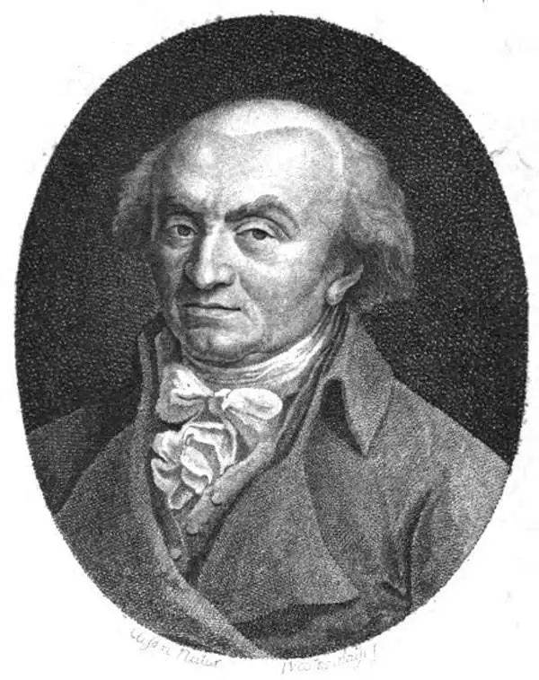
Edme Mentelle (October 11, 1730 - April 28, 1816) was a French geographer and historian active in Paris during the late 18th century. Mentelle was born in Paris in 1730. He studied under the historian Jean-Baptiste Louis Crevier at the College of Beauvais before accepting a position as professor of Geology and History at the Ecole Militaire where, incidentally, he tutoring the young Napoleon Bonaparte. He remained in this position until the institution was abolished in 1792. Mentelle later worked as a private tutor and then as a professor of Geography at the Ecole Normale. From 1795 he was a member of the Institut National des Sciences et des Arts, which he helped to found. Mentelle published a number of importantly geographical works including the 1778 Geographie Comparee, the 1779 Atlas Universel, and the 1801 Cours Complet de Cosmographie, de Chronologie, de Geographie et d'Histoire. He is known to have worked with Conrad Malte-Brun, Ambrose Tardieu, Peter Simon Pallas, and other important cartographic figures of his period. Edme Mentelle is frequently erroneously confused with Francois Simon Mentelle, another French Geographer who worked with Cassini on his historic survey of France.
Highly unsual map of the world exhibiting speculative marine topography.
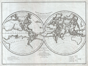
Mappe-Monde Physique d'Apres les Vues de Mr. Pallas Redigees par Mr. l'Abbe Mongez Journal de Physique, Mai, 1779.
sold
- Digital Map Information
- Suitable for large format printing
- Full resolution TIFF file
- ICC color profile embedded
- Delivered instantly via download link
This is a highly unusual 1779 map of the world exhibiting a very peculiar physical topography that reveals mountain ranges both on land and under the sea. The curious undersea mountain ranges displayed here was drawn by Abbe Mongez to illustrate the geographical ... (more details)
Highly unseal map of the world exhibiting speculative marine topography.
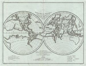
Mappe-Monde Physique d'Apres les Vues du Profr. Pallas Redigees par Andre Mongez Journal de Physique, Mai, 1779.
sold
- Digital Map Information
- Suitable for large format printing
- DPI: 300
- File Size: 10.29 MB
- File Type: ZIP / TIFF
- ICC color profile embedded
- Delivered instantly via download link
This is a highly unusual 1779 map of the world exhibiting a very peculiar physical topography that reveals mountain ranges both on land and under the sea. The curious undersea mountain ranges displayed here was drawn by Andre Mongez to illustrate the ... (more details)
A very attractive map of the Alsace wine region!
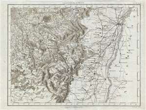
[Strasbourg and Alsace]
sold
- Digital Map Information
- Suitable for large format printing
- DPI: 300
- File Size: 9.6 MB
- File Type: ZIP / TIFF
- ICC color profile embedded
- Delivered instantly via download link
This is a 1782 Edme Mentelle map of Strasbourg and the wine regions surrounding regions of Alsace, Franche-Comté, and Lorraine. This region of France is known for exceptional Rieslings and highly aromatic Gewürztraminer white wines. The map ... (more details)
Detailed and attractive map of Madrid, Spain.
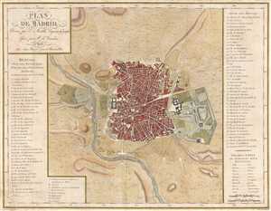
Plan de Madrid.
sold
- Digital Map Information
- Suitable for large format printing
- DPI: 300
- File Size: 6.74 MB
- File Type: ZIP / TIFF
- ICC color profile embedded
- Delivered instantly via download link
This is a 1782 Edme Mentelle map or plan of Madrid, Spain. This map depicts the city of Madrid from the Manzanares River in the west to the Campo Grande in the east and from the Puerta de Embaxadores in the south to the Puerta des los Pozos in ... (more details)
One French Revolution Blue Paper! Indentfies early settlements west of the Appalachian Mountains.
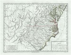
Carte de la Caroline Meridionale et Septentrionale et de la Virginie.
sold
- Digital Map Information
- Suitable for large format printing
- DPI: 300
- File Size: 9.54 MB
- File Type: ZIP / TIFF
- ICC color profile embedded
- Delivered instantly via download link
A scarce 1795 map of Virginia and Carolina by Pierre François Tardieu notable for its identification of early trade routes and settlements west of Appalachia. The map is rare and exquisitely engraved detailing the middle-southeast Atlantic seaboard covering from the Delaware Bay to the Savannah River and inland as far as modern-day Iowa. It is notably printed on high quality light blue handkerchief paper that briefly appeared during the French Revolution. (more details)
Florida during the second Spanish period when it became a refuge for escaped slaves and American Indian tribes who regularly raided the United States.
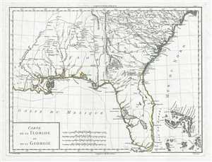
Carte de la Floride et de la Georgie.
sold
- Digital Map Information
- Suitable for large format printing
- DPI: 300
- File Size: 5.76 MB
- File Type: ZIP / TIFF
- ICC color profile embedded
- Delivered instantly via download link
This is a stunning 1798 Pierre Antoine-François Tardieu map of Florida and Georgia. The map depicts the region from Louisiana to the Atlantic Ocean and from South Carolina to the Gulf of Mexico. Some Historical Context Created during the ... (more details)
Spanish Florida: a volatile frontier of Native nations, runaway slaves, and imperial rivalry.
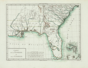
Carte de la Floride et de la Georgie.
sold
- Digital Map Information
- Suitable for large format printing
- Full resolution TIFF file
- ICC color profile embedded
- Delivered instantly via download link
This is Pierre François Antoine Tardieu's 1798 map of Spanish Florida and Georgia. With coverage from Louisiana to the Atlantic Ocean and from South Carolina to the Gulf of Mexico, this map was issued during the second era of Spanish rule in Florida. At this time, Florida became a haven for runaway slaves and a base of operations for Native American attacks on the United States. The map is printed on striking French Revolutionary period blue-tinted paper. (more details)