Most recently added antique and rare maps as of 8/19/2025.
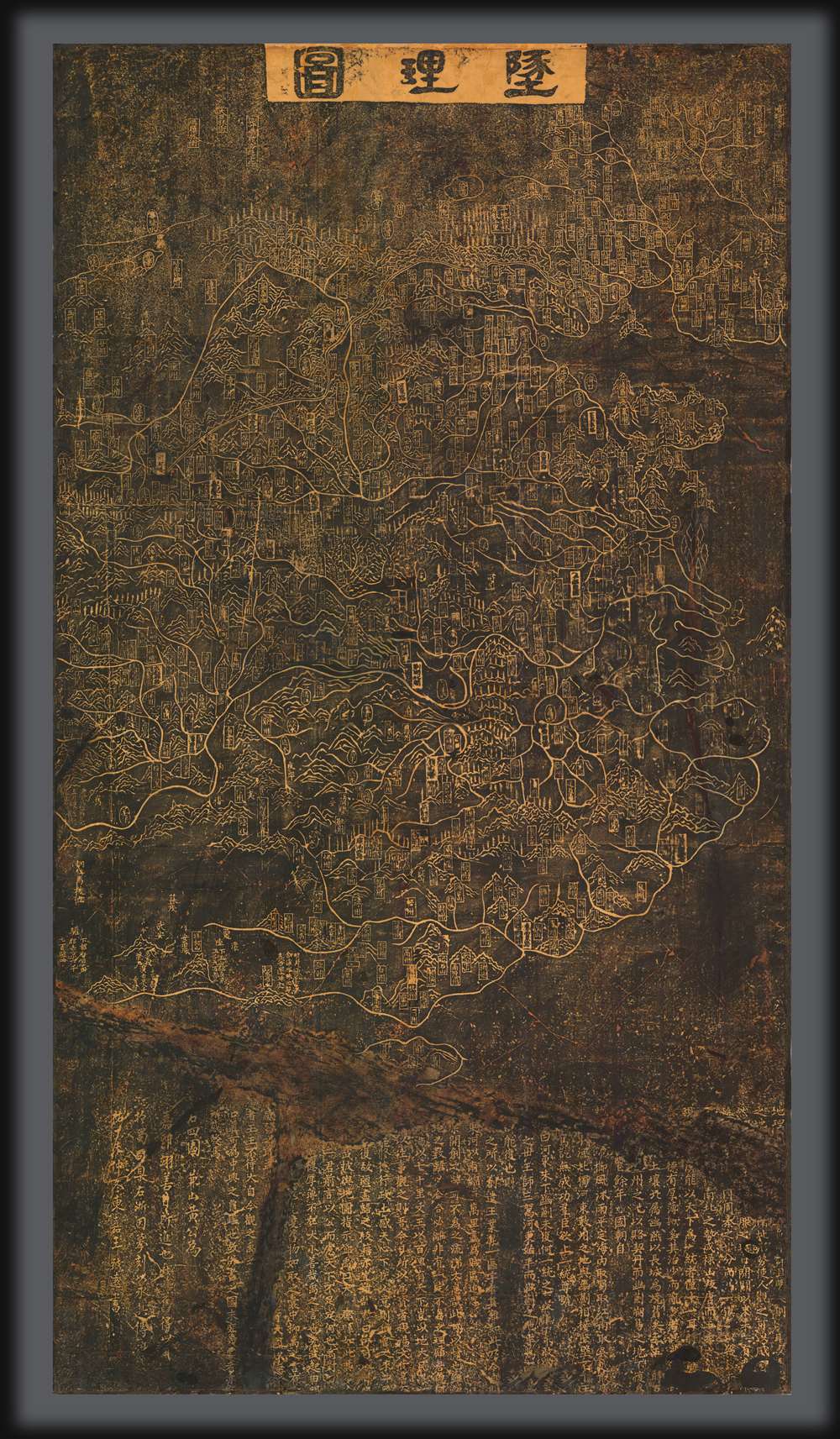
Oldest surviving rubbing of the Dili Tu. /《墬理图》现存最古老碑拓
$250,000.00
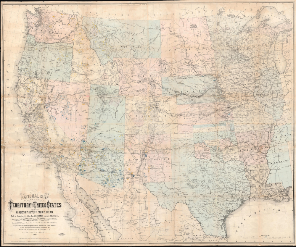
Seminal map of the Trans-Mississippi, in a true 1st Edition 1st State.
$6,500.00
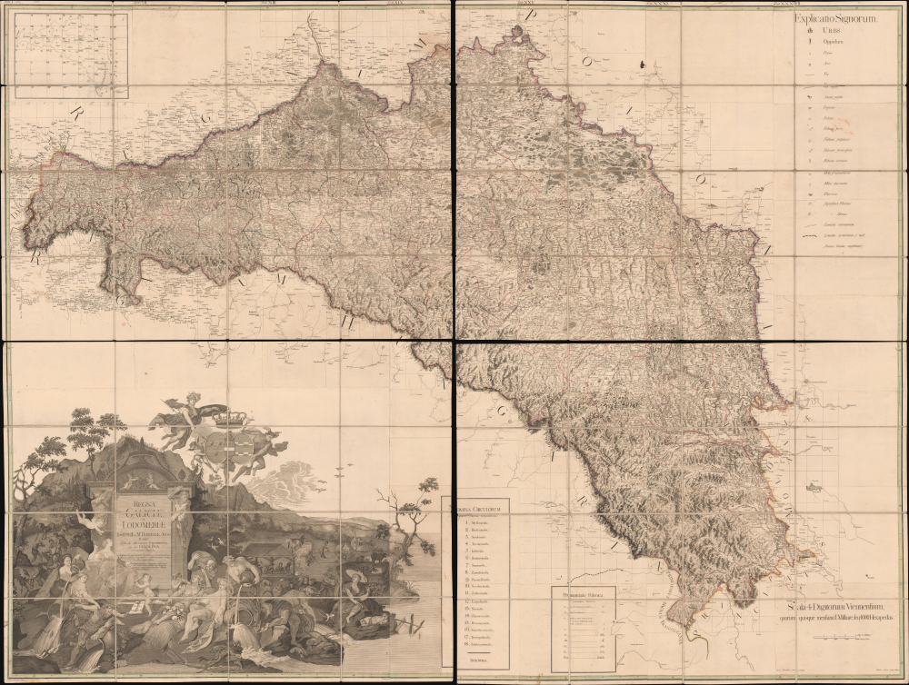
Most Important Map of of the Polish-Ukraine Border Kingdom.
$6,500.00
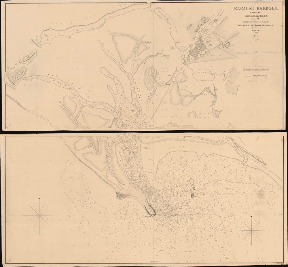
First and largest chart of Karachi as an EIC Port.
$6,000.00
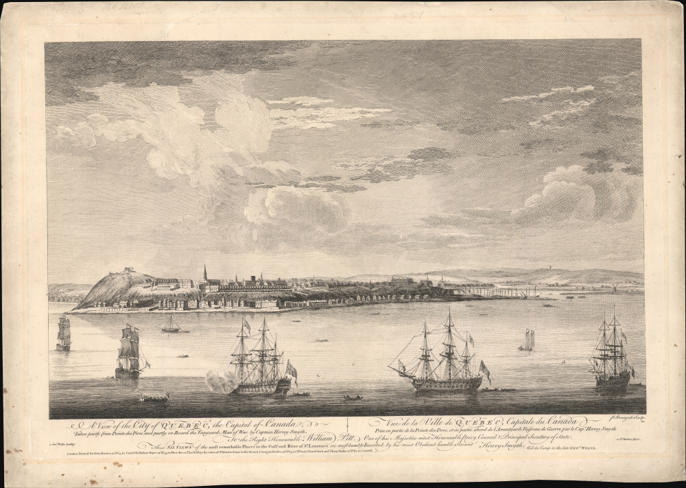
Seminal view of Quebec shortly after the French and Indian War.
$5,500.00
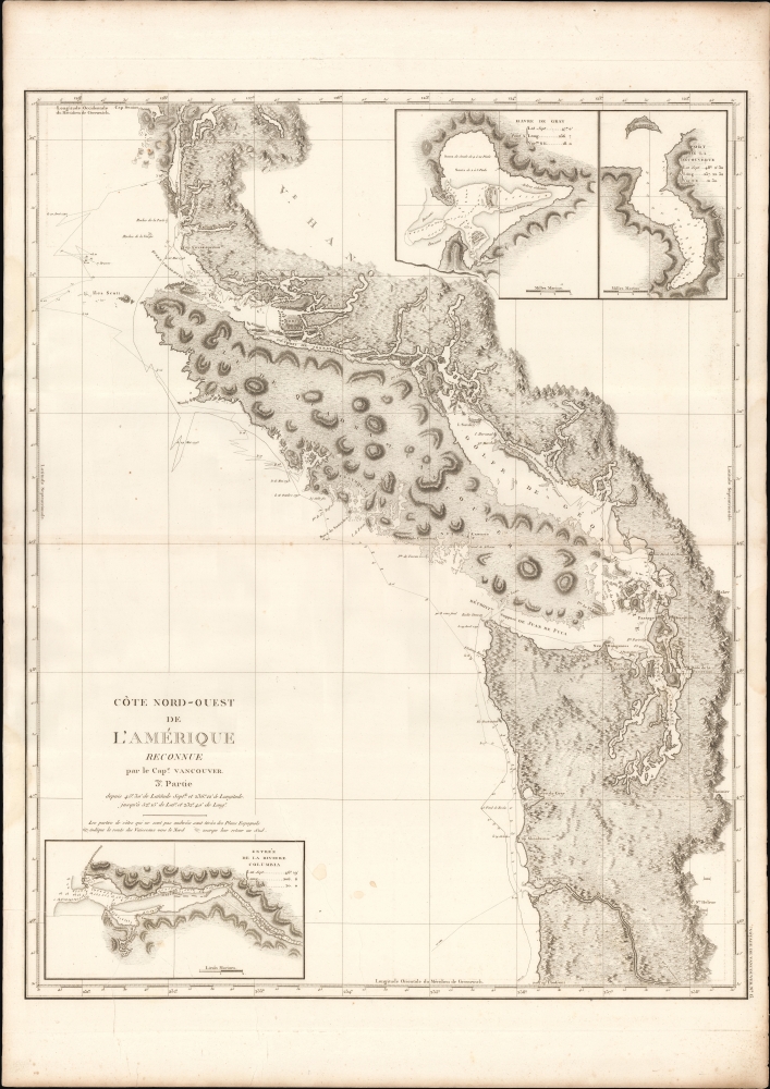
First map to show Vancouver Island and Puget Sound.
$3,500.00
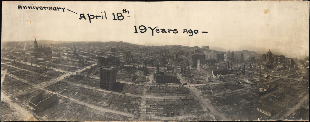
Panorama of San Francisco's Ruins by Pioneer of Aerial Photography.
$2,400.00
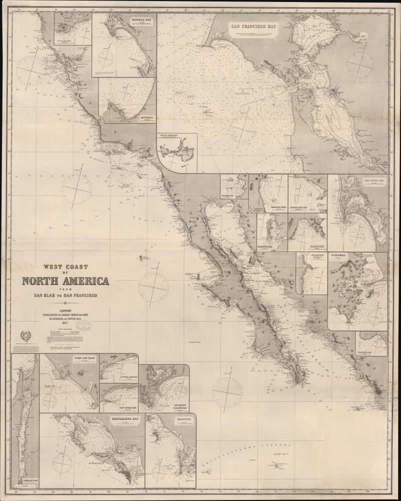
Updating the map of the West Coast.
$1,900.00
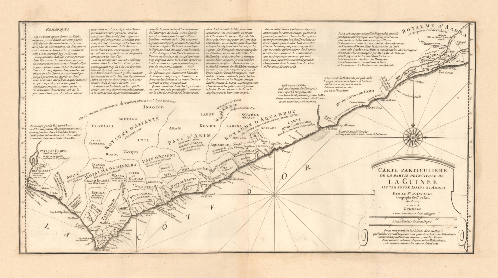
Expansion of Dahomey and the high-point of the Atlantic Slave Trade.
$1,800.00
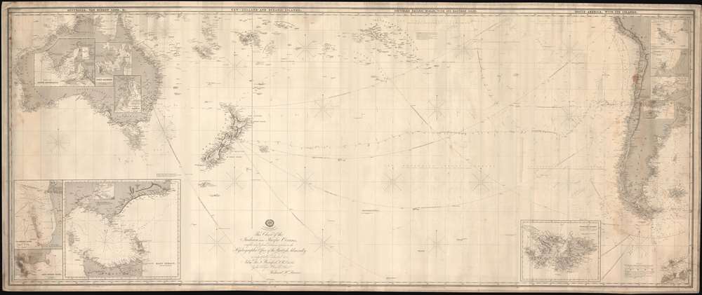
If all you care about is here, this is a good place to be. -Emile de Becque
$1,800.00
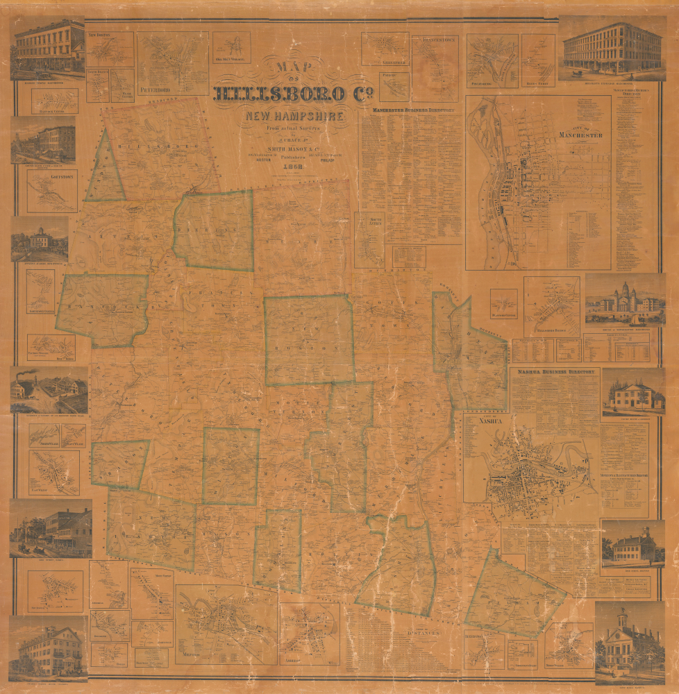
Mill towns on the Merrimack River.
$1,500.00
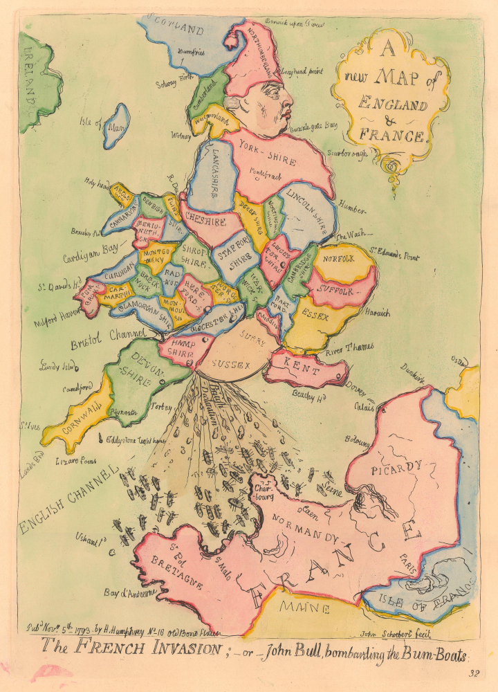
Scatological map of England and France.
$1,500.00
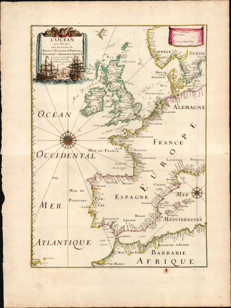
The French join the Second Anglo-Dutch War.
$1,200.00
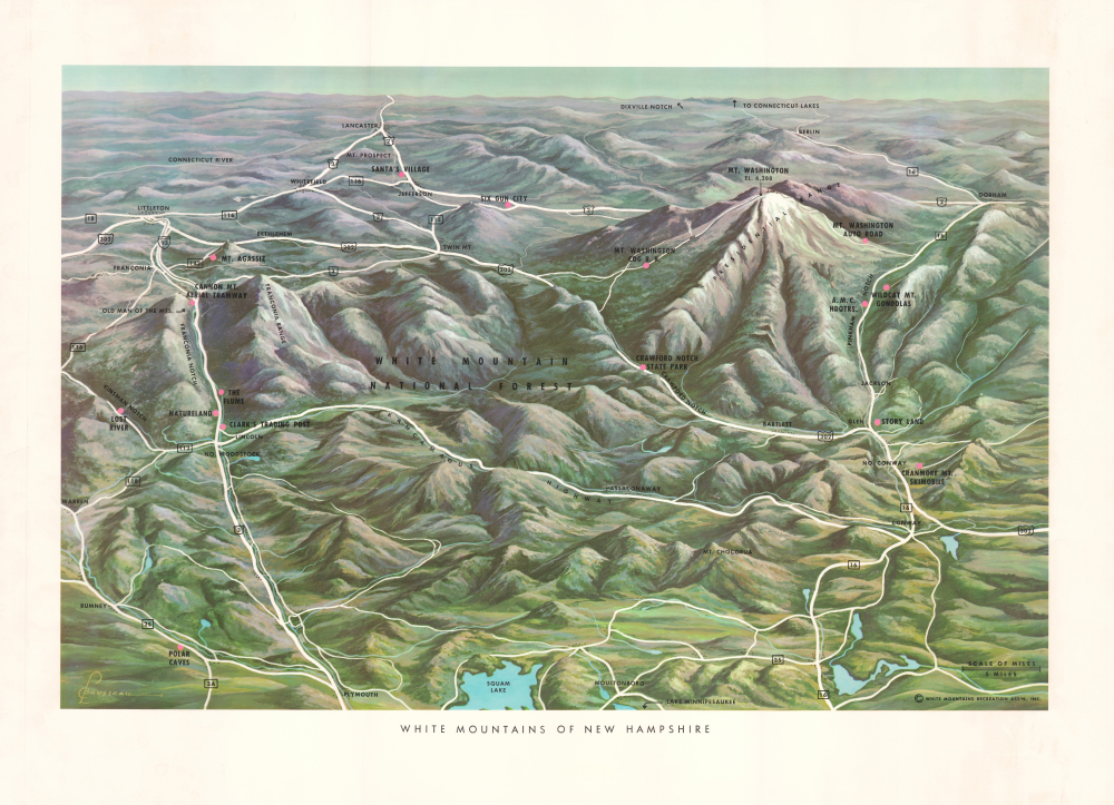
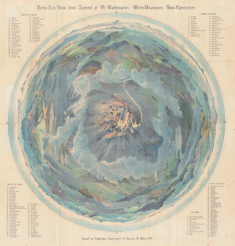
White Mountains including Mount Washington.
$500.00
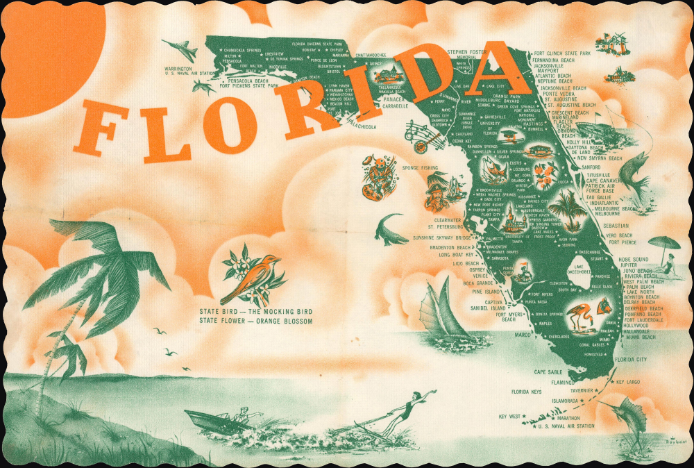
Mid-Century Tourist Placemat Map of Florida.
$200.00
Heart of the White Mountains.
$3,500.00
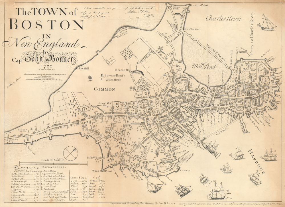
19th Century reissue of the earliest Printed Map of Boston.
$3,000.00

