Most recently added antique and rare maps as of 8/19/2025.
Illustrates the original nine counties established before Kentucky's admission into the Union.
$450.00
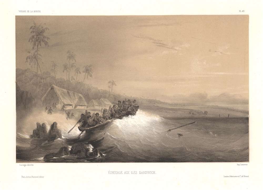
Dramatization of ships on the Hawaiian coast during the 'Bonite Expedition.'
$450.00
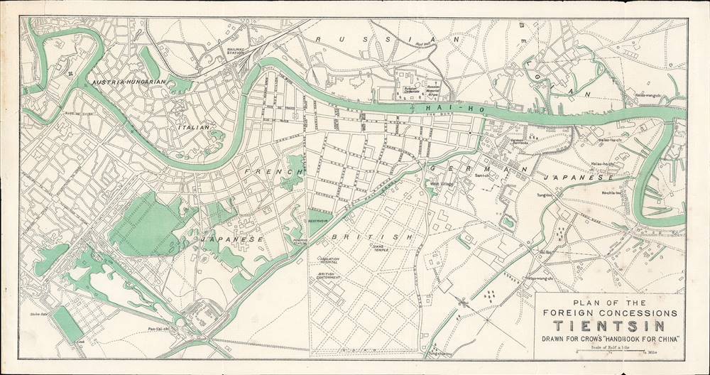
Tianjin at the height of the treaty port era.
$220.00
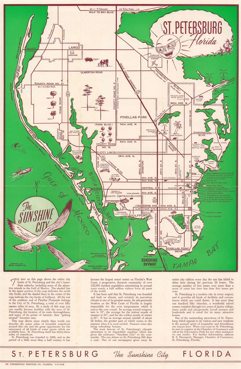
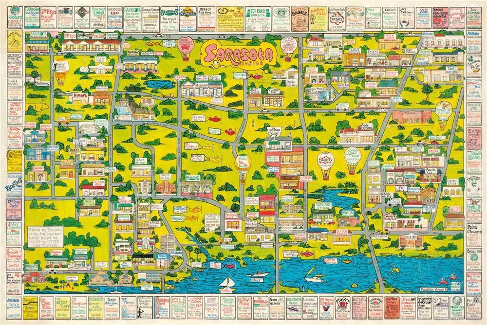
Charming tourist map of 'The Sunshine City'.
$150.00
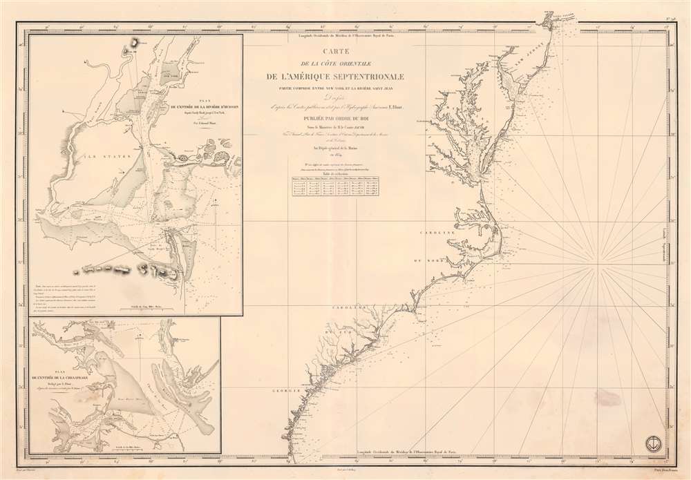
The French-American cotton trade.
$950.00
Propaganda for Japan's puppet state of Manchukuo.
$550.00
Traces mail routes in Jalisco that are delivered on foot, on horseback, by car, and by tram in a region famous for its tequila.
$500.00
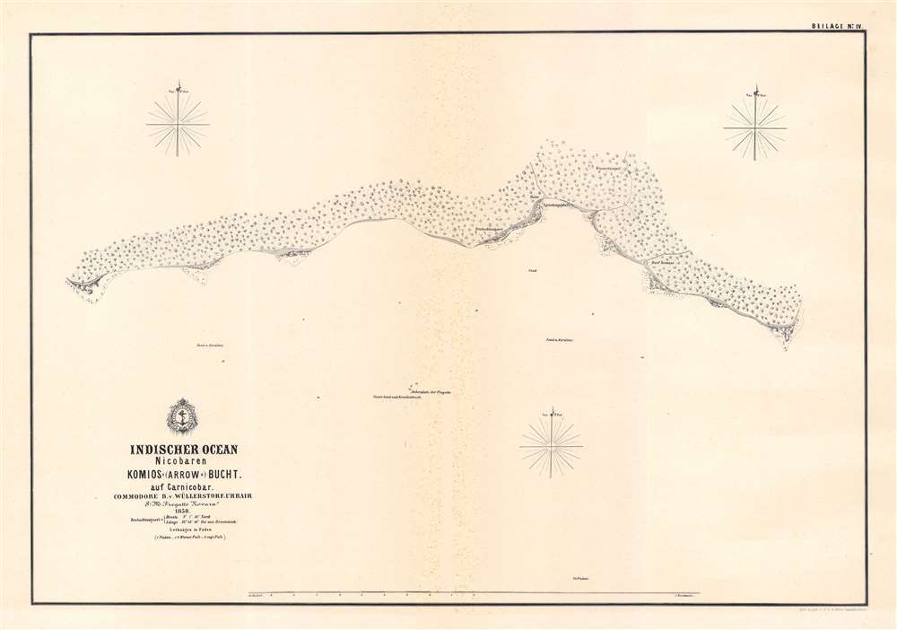
A Bay in the Nicobars.
$500.00
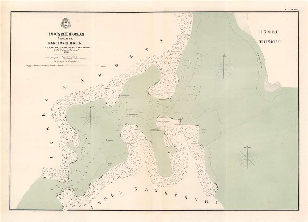
A Harbor in the Nicobars.
$500.00
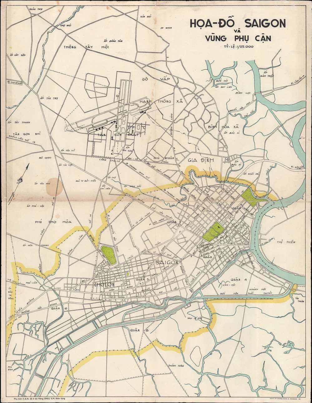
A map of Saigon, made while the city was under siege.
$350.00
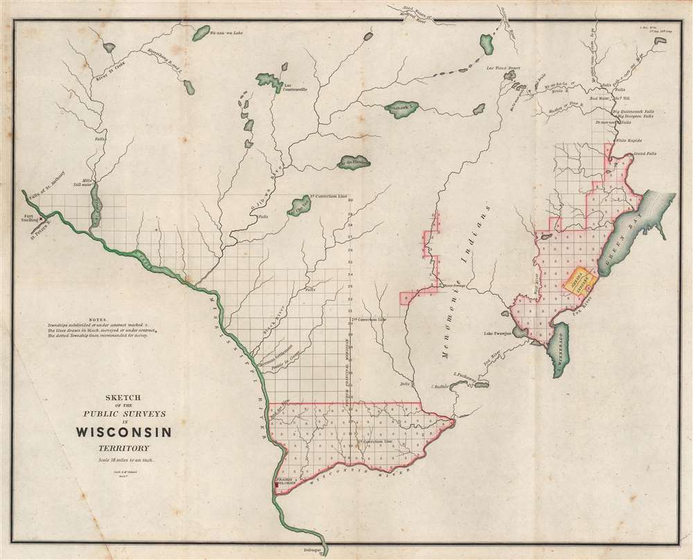
One of the earliest acquirable specific maps of Wisconsin.
$250.00
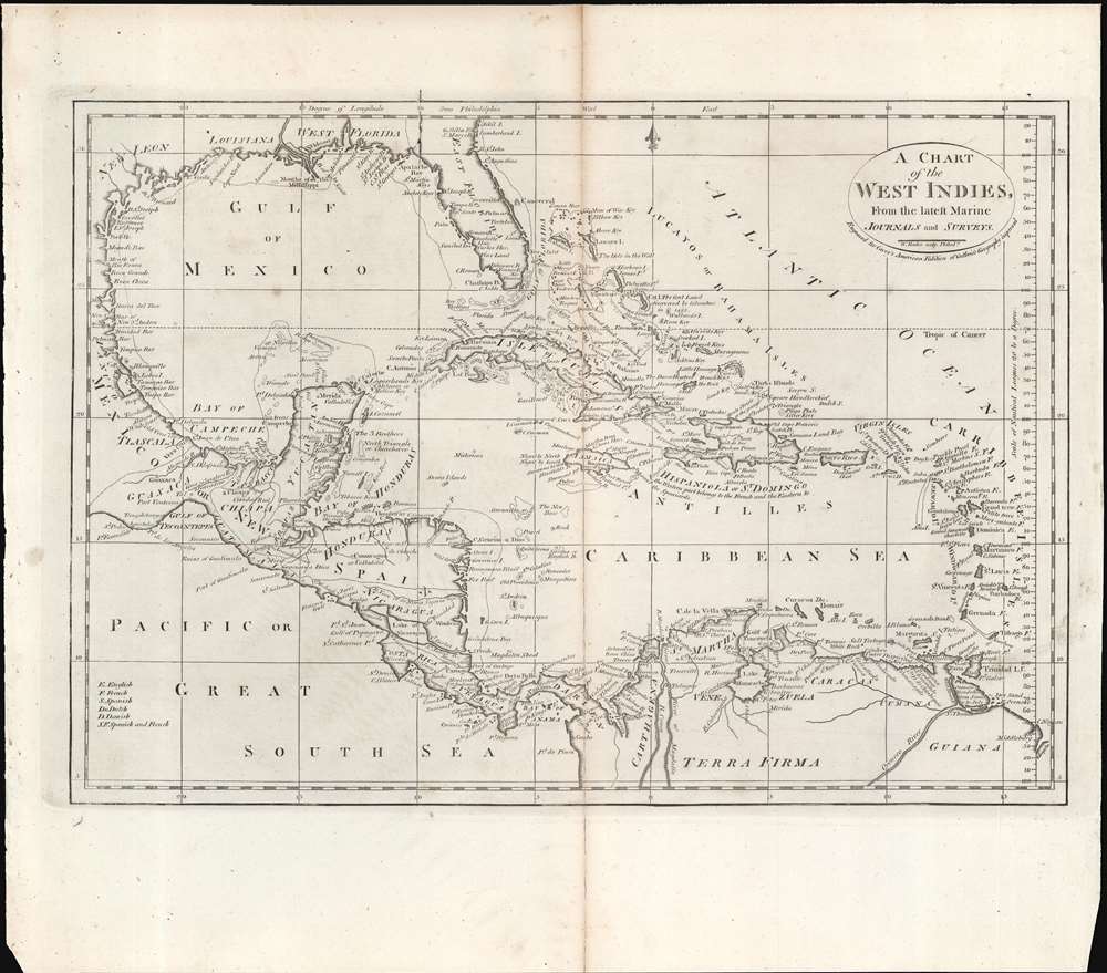
A map of the West Indies from the first atlas published in the United States.
$250.00
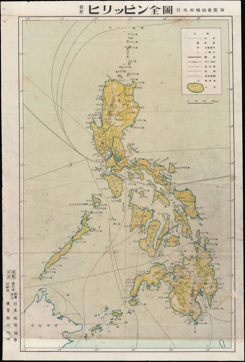
A Japanese map of the Philippines, soon after it was captured by Japanese forces in WWII.
$250.00


