Most recently added antique and rare maps as of 7/4/2025.
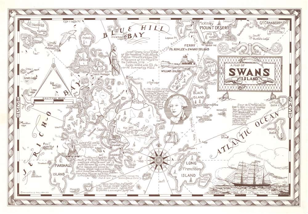
1963 Phillips Pictorial Map of Swan's Island, Maine
Popular summer tourism destination near Mount Desert Island.
$325.00

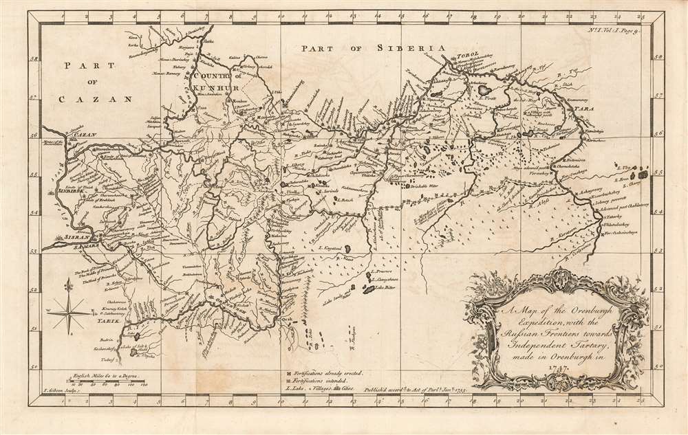
1753 Jonas Hanway Map of the Russian-Kazakh Frontier
Russian mapping of their southeastern frontier.
$550.00

1942 SERP Tourist Map of Paris during German Occupation
Tourism in occupied Paris?
$500.00

1862 U.S. Coast Survey Nautical Chart / Map of the Potomac River, Maryland and Virginia
The Potomac River during the American Civil War.
$500.00

1967 Workers' Congress City Map of Beijing during the Cultural Revolution
The Red Guard in the Cultural Revolution.
$500.00

1934 Appleton Allegorical Map of the New Deal Distribution of Money
Allegory of New Deal alphabet agencies.
$450.00

1764 Kitchin Map of Eastern Poland and Lithuania
Eastern Polish-Lithuanian Commonwealth Prior to Partition.
$400.00

1726 Valentijn Map of the Cape of Good Hope, South Africa
Early map showing landholders throughout the Cape.
$950.00

1927 Canadian National Railway Map of the Canadian Rockies
Promotes tourism by rail in British Columbia - including a visit to Jasper National Park, then the largest national park in the Americas.
$350.00

1860 James Polar Projection of the Globe - Arctic / Atlantic Projection
Highlights the 'Terrestrial Hemisphere' on a newly-conceived projection.
$750.00

1676 John Speed County Map of Merionethshire
Men of Harlech on to glory...
$750.00

1770 John Speed County Map of Leicester (Scarce Dicey Edition)
Marking the Momentous Battle of Bosworth.
$750.00

1868 Swedish Royal Nautical Chart / Map of the Bothnian Sea
Lighthouses...and more lighthouses!
$700.00

1948 Richard Pictorial Tourist Map of Kansas
'You'd Like Living in Kansas'.
$350.00