
Smith, Robert Pearsall (sold)
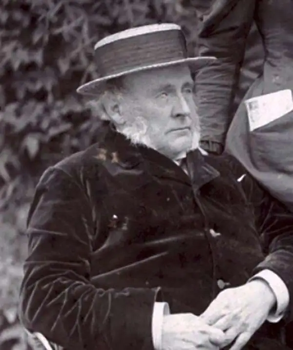
Robert Pearsall Smith (February 1, 1827 - April 17, 1898) was an American map maker active in Philadelphia from the middle to late 19th century. Smith was born to a Quaker family in Philadelphia, all librarians and publishers. Robert Pearsall originally ran a law bookstore at 19 James Street, Philadelphia. It was not until 1846 that Smith began producing maps in collaboration with this father, John Jay Smith (1798 - 1881), and brother, Lloyd P. Smith (1822 - 1886). One year earlier, in 1845, John Jay, then librarian at the Library Company of Philadelphia and Loganian Library, acquired the American rights to the anastatic process of transfer lithography. In February of 1846 he and his two sons founded the Anastatic Office, a printing concern based on the anastatic process located at 317 Market Street, Philadelphia. The Anastatic Office produced numerous copies and reissues of historic documents and maps from the Library Company's collection before being dissolved in 1847. In the same year Robert Pearsall opened a printing establishment under his own name at 144 Chestnut Street. In 1858, he joined forced with the Swiss-American engraver Frederick Bourquin (1808 - 1897) under the imprint 'F. Bourquin and Company' (602 Chestnut Street). Smith retired suddenly and inexplicably from the printing business around 1865. Smith was also deeply religious, a lay leader in the Holiness Movement in the United States and the Higher Life Movement in Great Britain. In 1873, Smith and his wife, Hannah Tatum Whitall (1832 - 1911), crossed the Atlantic to preach in England, Germany and Switzerland. They returned in 1875, preaching in Brighton, where Smith supposedly had an affair with an American writer. In, 1888, his entire family moved to England.
The most important map of Delaware County, PA.
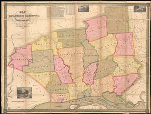
Map of Delaware County Pennsylvania.
sold
- Digital Map Information
- Suitable for large format printing
- Full resolution TIFF file
- ICC color profile embedded
- Delivered instantly via download link
One of only 4 known surviving examples of Joshua W. Ash's important 1848 map of Delaware, County Pennsylvania. Delaware county, located just southwest of Philadelphia, is one of Pennsylvania's oldest and most historic areas, the home of Swarthmore College, the Haverford School (Haverford Friends School), the Elwyn Institute, and numerous other institutions. It was here, at Chester, that William Penn first landed in 1682, founding the Quaker colony of Pennsylvania. At the time this map was made Chester was a region of rolling hills and gentlemanly estates - including the mapmaker Ash's own family properties. (more details)
Stunning case map of Boston and vicinity.
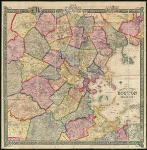
Map of the City and Vicinity of Boston, Massachusetts.
sold
- Digital Map Information
- Suitable for large format printing
- DPI: 300
- File Size: 0.65 MB
- File Type: ZIP / TIFF
- ICC color profile embedded
- Delivered instantly via download link
This is a stunning large format first edition 1852 case map of Boston, Massachusetts, and vicinity. Centered on Boston, the map covers from Danvers to Hingham, and from Weston to Massachusetts Bay. Towns are coded in bright original color. The map is incredibly ... (more details)
Beautiful south coast Maine!
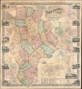
York County Maine.
sold
- Digital Map Information
- Suitable for large format printing
- File Size: 180.46 MB
- File Type: ZIP / TIFF
- ICC color profile embedded
- Delivered instantly via download link
An impressive 1856 Josiah Chase Jr. wall map of York County, Maine. (more details)
Industry and Education.
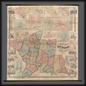
This is an impressive large-scale 1856 H. and C. T. Smith wall map of New Haven County, Connecticut. The map captures New Haven at the height of the industrial revolution, when expanding industry and railroads transformed it into a center of commerce and manufacturing. (more details)
The Civil War - big and bold.
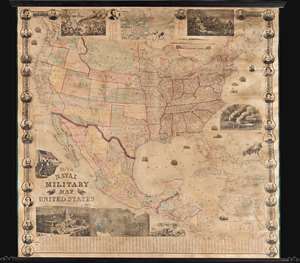
This is a rare 1863 wall map of the United States at the height of the American Civil War (1861 - 1865). The map was issued by John Calvin Smith and Robert Persall Smith during the Civil War to capitalize on general interest in the war among the northern elite. At roughly 70 inches square, this enormous and lavishly produced map covers all of the United States and Mexico. The early state and territory configuration includes the ephemeral Confederate State of Arizona. It is surrounded by images of Union officers and politicians - including Lincoln, Fremont, Wilkes, and Scott. Curiously, these do not include General Grant, as the map's publication in early January of 1863 predates his assumption of overall command on January 29, 1863. The map features multiple vignette scenes including the victory of the Monitor over the Merrimac, the allegorical 'Rescue of the Union', an illustration of 'Camp Life', the Capitol building in Washington, and an overview of the 'Birth of the Union' at Bunker Hill. Of note, the Pacific Telegraph Route is noted running parallel to the Pony Express Route, which is also illustrated. (more details)