
Stockdale, John
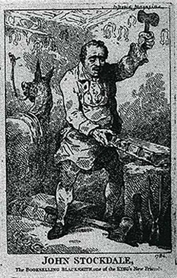
John Stockdale (March 25, 1750 - June 21, 1814) was an English book and map publisher active in London in the late 18th and early 19th centuries. Stockdale, born in Caldbeck, England, was trained by his father in the family trade of blacksmithing. Blacksmithing must not have been his cup of tea, for as soon as he was able, he left this trade in favor of a number of minor service positions, working at various times as a porter and a valet. One such position put him in the service of the bookseller John Almon. Having learnt the book trade by observing Almon, Stockdale opened his own bookshop and began publishing various historic and scientific works. Fellow publishers, perhaps reacting to his social status at birth, wrote of him, "being a man of natural parts, he soon became conspicuous in business in spite of much eccentricity of conduct and great coarseness of manners." Never quite accepted in the trade, Stockdale's fellow London publishers derogatorily referred to him as "The Bookselling Blacksmith". Nonetheless, Stockdale had a number of important works to his name, including several geographies, most notably the 1794American Geography 1794 and, with John Cary, the 1805 New British Atlas.
A Caribbean island hotly contested by the British and French in the 18th century.
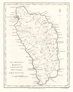
Map of the Island of Dominica.
$300.00
Acquire
- Digital Map Information
- Suitable for large format printing
- DPI: 600
- File Size: 2.51 MB
- File Type: ZIP / TIFF
- ICC color profile embedded
- Delivered instantly via download link
This is a 1794 Bryan Edwards and John Stockdale map of Dominica. Roseau, Dominica's capital, is labeled here as Charlotte Town, likely a British to stifle French influence. Bays, points, and other coastal landmarks are identified, and rivers are illustrated. The island's parishes are also labeled. (more details)
Details Saint Kitts, home to the largest fortress ever built in the Caribbean.
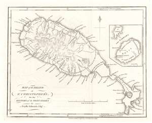
Map of the Island of St. Christopher's.
$250.00
Acquire
- Digital Map Information
- Suitable for large format printing
- DPI: 600
- File Size: 2.8 MB
- File Type: ZIP / TIFF
- ICC color profile embedded
- Delivered instantly via download link
This is a 1794 Bryan Edwards and John Stockdale map of Saint Kitts or St. Christopher. An island in the Leeward Islands, the modern-day nation of the Federation of 'Saint Kitts and Nevis 'consists of Saint Kitts and the island of Nevis, which are separated by a two-mile-wide channel called 'The Narrows.' Here, Nevis is illustrated in an inset on the upper right. Basseterre on Saint Kitts and Charlestown on Nevis are both labeled, along with a handful of other settlements and three churches. Parishes on both islands are also identified. Mountains, rivers, and bays are named as well. Today, Saint Kitts is known as a tourist destination, although it has yet to reach the popularity of other Caribbean islands. (more details)