
Thaxter, Samuel and Son (sold)
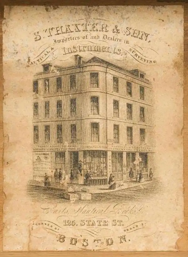
Samuel Thaxter and Son (fl. 1792 - 1916). Samuel Thaxter (1769 - 1842) is the founder of a Boston dynasty of manufacturers of mathematical instruments and nautical charts. He founded the firm in 1792 and is first referenced in the 1796 Boston Directory. Around 1822 he incorporated his son, Joseph H. Thaxter (1801 - 1835), into the business renaming it 'Samuel Thaxter and Son'. The firm would retain this name for the remainder of its existence. This successful business was subsequently passed to Joseph H. Thaxter's son, Samuel Thaxter Cushing (1821 - 1882), in 1843. It was Thaxter Cushing who developed the firm's publishing arm, partnering with the Boston nautical chart maker George Eldridge. They are best known for 13 large format blueback charts focusing on the east cost of the United States published in the second half of the 19th century. They also published numerous smaller maps and pilot books. After Thaxter Cushing died the firm was taken over by his widow, Abby C. Cushing, who managed it until 1905. It was subsequently managed by Herbert Risteen Starratt and continued to be registered in the Boston Directory until about 1916.
Eldridge's most important chart.
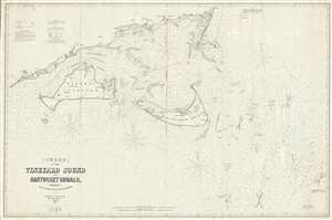
Chart of the Vineyard Sound and Nantucket Shoals, Surveyed by George Eldrdige, Hydrographer.
sold
- Digital Map Information
- Suitable for large format printing
- File Size: 25.23 MB
- File Type: ZIP / TIFF
- ICC color profile embedded
- Delivered instantly via download link
This is George Eldridge’s enormous and important large-format 1864 blueback nautical chart of the waters around Nantucket and Martha’s Vineyard, including Vineyard Sound and the Nantucket Shoals. Most likely Eldridge's most important and useful publication, this chart offers hundreds of depth soundings, along with notations about shoals and other hazards, lighthouses and other aids to navigation, tides, currents and compass variations, sailing directions, and other information pertinent to the mariner. The staggering size of this map as well as its extraordinary overall detail underscore the importance of these waters not only as an international shipping channel, but also for the vibrant local maritime community, of which included Eldridge. The present chart is one of Eldridge’s most important charts with an active period of more than 40 years. (more details)
Largest 19th century commercial chart of the Chesapeake Bay.
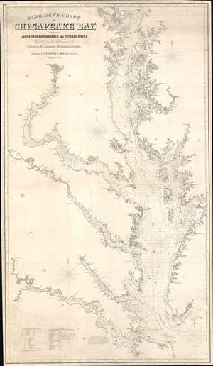
Eldridge's Chart of Chesapeake Bay, with the James, York, Rappahannock and Potomac Rivers.
sold
- Digital Map Information
- Suitable for large format printing
- File Size: 82.01 MB
- File Type: ZIP / TIFF
- ICC color profile embedded
- Delivered instantly via download link
A rare 1872 Eldridge / Thaxter nautical chart or maritime map of the Chesapeake Bay. This expansive chart covers the Chesapeake from its mouth at Cape Henry to Baltimore. It extends westward to include the James, York, Rappahannock, and Potomac River estuaries. In a brilliant aesthetic flourish, Washington D.C. appears centered directly below the title area. Includes original hand color highlighting of lighthouses. (more details)
Early edition of Eldridge's chart of Buzzard Bay.
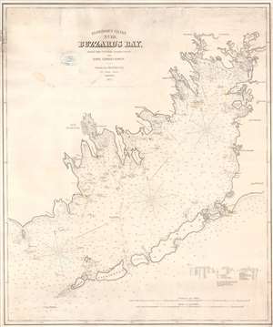
Eldridge's Chart No. 10. Buzzard's Bay, from the United States Coast and George Eldridge's Surveys.
sold
- Digital Map Information
- Suitable for large format printing
- File Size: 33.56 MB
- File Type: ZIP / TIFF
- ICC color profile embedded
- Delivered instantly via download link
This is a scarce separately issued 1877 George Eldridge nautical chart or maritime map of Buzzard's Bay, Massachusetts. This elegantly produced chart on thick stock depicts from the west coast of Cape Cod and includes New Bedford, Falmouth, Sippican, Wareham, Woods Hole, and Mattapoisett, among other towns. Eldridge provides excellent maritime detail throughout with numerous soundings (in feet) and notations for undersea ledges, shoals, and other dangers. Cartographically this chart is based on the work of the U.S. Coast Survey (U.S.C.S.) as well as Eldridge's own private surveys. (more details)
Scarce early edition of Eldridge's chart of Buzzard Bay.
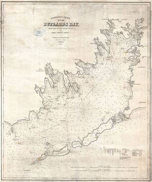
Eldridge's Chart No. 10. Buzzard Bay, from the United States Coast and George Eldridge's Surveys.
sold
- Digital Map Information
- Suitable for large format printing
- Full resolution TIFF file
- ICC color profile embedded
- Delivered instantly via download link
A scarce separately published 1877 nautical chart or maritime map of Buzzard Bay by George Eldridge. This elegantly produced chart on thick stock covers from the west coast of Cape Cod and includes New Bedford, Falmouth, Sippican, Wareham, Woods Hole, and ... (more details)
Rare navigational chart detailing Cape Ann.
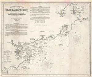
Eldridge's New Chart From Lynn to Halibut Point. With the Harbors of Salem, Beverly, Marblehead, Manchester, Gloucester, and Rockport.
sold
- Digital Map Information
- Suitable for large format printing
- File Size: 15.2 MB
- File Type: ZIP / TIFF
- ICC color profile embedded
- Delivered instantly via download link
This is an 1880 George Eldridge nautical chart or maritime map of Cape Ann and Marblehead, this embracing the Massachusetts North Shore. Focusing on the Massachusetts coast from Halibut Point and Annisquam to Lynn, the chart identifies important navigational landmarks as well as hazards. Cities and towns, including Rockport, Gloucester, Manchester, Beverly, Salem, and Marblehead, appear. Yellow and red manuscript notations mark coastal lights. Coastal features, such as points, heads, bays, and coves, are marked. Islands are illustrated. Depth soundings are indicated along the coast, with ledges, banks, shoals, and other hazards noted as well. Navigation instructions for approaching Salem, Beverly, and Marblehead are present as well. Detailed sailing directions are included in the upper left corner. (more details)
East Coast from Montauk to St, Augustine.
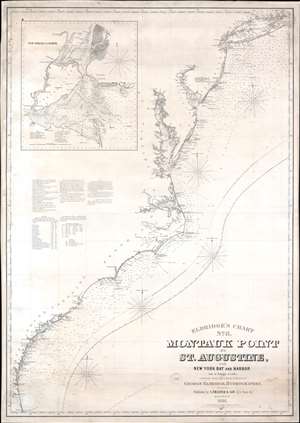
Eldridge's Chart No. 8. Montauk Point to St. Augustine, with New York Bay and Harbor on a Large Scale.
sold
- Digital Map Information
- Suitable for large format printing
- File Size: 51.85 MB
- File Type: ZIP / TIFF
- ICC color profile embedded
- Delivered instantly via download link
This is an 1881 George W. Eldridge blueback nautical chart or maritime map of the east coast of the United States covering from Long Island Sound to St. Augustine, Florida. The chart provides a nautical overview of the eastern seaboard, with countless depth soundings and coastal navigation lights marked in manuscript orange. The Chesapeake Bay especially offers stunning detail - reflecting nearly 50 years of constant meticulous hydrographic work. Coastal islands along New Jersey, Maryland, and the Carolinas, are illustrated in detail as well. The Gulf Stream curves its way to the northeast through the Atlantic. An inset in the upper left corner details New York Bay and Harbor. Depth soundings are indicated throughout the bay and harbor and up the Hudson and East Rivers. New York, Brooklyn, Fort Hamilton, New Utrecht, Gravesend, Jersey City, Hoboken, and Newark are all labeled. (more details)
American Whaling Capital.
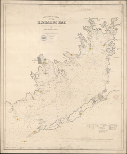
Eldridge's Chart No. 10. Buzzard's Bay, from the United States Coast and George Eldridge's Surveys.
sold
- Digital Map Information
- Suitable for large format printing
- File Size: 100.66 MB
- File Type: ZIP / TIFF
- ICC color profile embedded
- Delivered instantly via download link
This is a scarce, separately issued 1882 George Eldridge nautical map of Buzzard's Bay, Massachusetts. (more details)