
Cantelli da Vignola, Giacomo
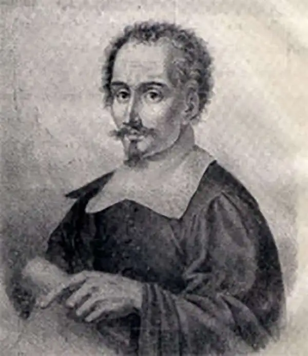
Giacomo Cantelli da Vignola (February 22, 1643 - November 30, 1695) was an important Italian cartographer and engraver active in 17th century Italy. Cantelli was born in Montorsello, near Vignola, Italy to a prominent local family. After studying literature at the University of Bologna, Cantelli took a position as secretary to the Marquis Obizzi de Ferrara. Eventually Cantelli relocated to Venice where he developed an interest in cartography. He later traveled to Paris in the company of the French ambassador where became acquainted with the French cartographer Guillaume Sanson, as well as his contemporaries Jacques-Andre Duval and Michel-Antoin Baudrand. It was most likely the influence of these innovative French cartographers that inspired Cantelli's careful and meticulous approach, in which he based his cartography not just on earlier maps, but also very much in the French style upon accounts written by travelers and merchants regarding actual travel to foreign lands. Back in Italy, Cantelli took service with Count Rinieri Marescotti, with whom he traveled extensively throughout Italy, becoming in the process acquainted with the Italian publisher Giovanni Giacomo de Rossi. It is with Rossi that Cantelli began officially publishing his maps. The earliest maps to bear the Cantelli-Rossi imprint date to 1672 and detail the Holy Land, Persia, and the Ottoman Empire. Around 1680 the duo also began to publish the Mercurio Geografico, a large format atlas illustrating all parts of the world in a splendid Italian baroque detail defined by elaborate finely engraved cartouche work, high quality paper, bold Roman lettering, and dark rich inks. Some have compared his style go that of Giovanni Antonio Magini, another Italian cartographer of the previous generation. Cantelli da Vignola in fact pioneered the Italian style of fine bold engraving that would eventually be embraced and expanded upon by Vincenzo Coronelli. His work drew the attention of Pope Innocent XI and Reggio Francesco II d'Este, the Duke of Modena, both of whom offered him a position as court geographer. Cantelli chose to work with the Duke of Modena, in the service of whom he produced numerous maps and well as two large globes. He died in Modena in November 1695.
Scarce and Elegantly-Engraved Map of the Far East.

Il Regno Della China detto presentemente Catay e Mangin diviso sopra le Carte piú esatte sue Principali Provincie.
$2,200.00
Acquire
- Digital Map Information
- Suitable for large format printing
- DPI: 600
- File Size: 48.62 MB
- File Type: ZIP / TIFF
- ICC color profile embedded
- Delivered instantly via download link
This is a scarce 1682 Cantelli da Vignola map of China, Japan, and Korea, presenting a striking and up-to-date view of the Far East benefitting from Jesuit and Dutch reports. Its framework is derived from the 1552 Martino Martini map by Blaeu, but this map is significantly updated after the reports of the Jesuits Bento de Góis and Johann Grueber. (more details)
Strikingly decorative map of the East Indies, Philippines, and Australia.
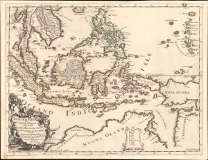
Isole dell'India cio è le Molucche, le Filippine e della Sonda, parte de paesi di nuova scoperta e l'isole de Ladri nel mare del zud / descritte da Giacomo Cantelli de Vignola ; Fran. Donia Messis sculp.
$1,500.00
Acquire
- Digital Map Information
- Suitable for large format printing
- File Size: 18.9 MB
- File Type: ZIP / TIFF
- ICC color profile embedded
- Delivered instantly via download link
A rare, highly decorative 1683 map of Southeast Asia and the East Indies by Giacomo Cantelli da Vignola and Giacomo de Rossi. (more details)
Crimea and Caucasus of the 17th century.
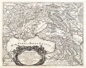
Tartaria d'Europa o vero Piccola Tartaria divisa da Giacomo Cantelli da Vignola ne Tartari Nogai e del Crim, o di Precop Soggetti al proprio Kam ne Tartari di Budziack, d'Oczackow, e di Dobruss, soggetti al Turco, ne Tartari Circassi, e di Mordua Soggetti al Gran Duca di Moscovia e nelle Due Uckraine...
$1,200.00
Acquire
- Digital Map Information
- Suitable for large format printing
- DPI: 600
- File Size: 68.61 MB
- File Type: ZIP / TIFF
- ICC color profile embedded
- Delivered instantly via download link
This is a 1684 Cantelli da Vignola map of the Caucasus, the lands of the Circassian and Crimean Tartars, Georgia, and Ukraine. The region - peopled by an array of Tatar and Cossack tribes - was largely under the domination of the Crimean Khanate and the Nogai Horde, but represented a borderland contested by the Grand Duchy of Muscovy and the Turkish Empire. (more details)
Revealing Central Asia.
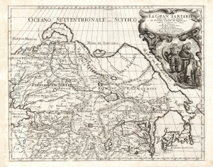
La Gran Tartaria.
$650.00
Acquire
- Digital Map Information
- Suitable for large format printing
- DPI: 600
- File Size: 55.88 MB
- File Type: ZIP / TIFF
- ICC color profile embedded
- Delivered instantly via download link
This is Cantelli da Vignola's 1693 map of Central and northeastern Asia, focusing on 'Tartar lands', an expansive territory spanning from the Russian steppe to the Great Wall of China. (more details)