
Wüllerstorf-Urbair, Bernhard von (sold)
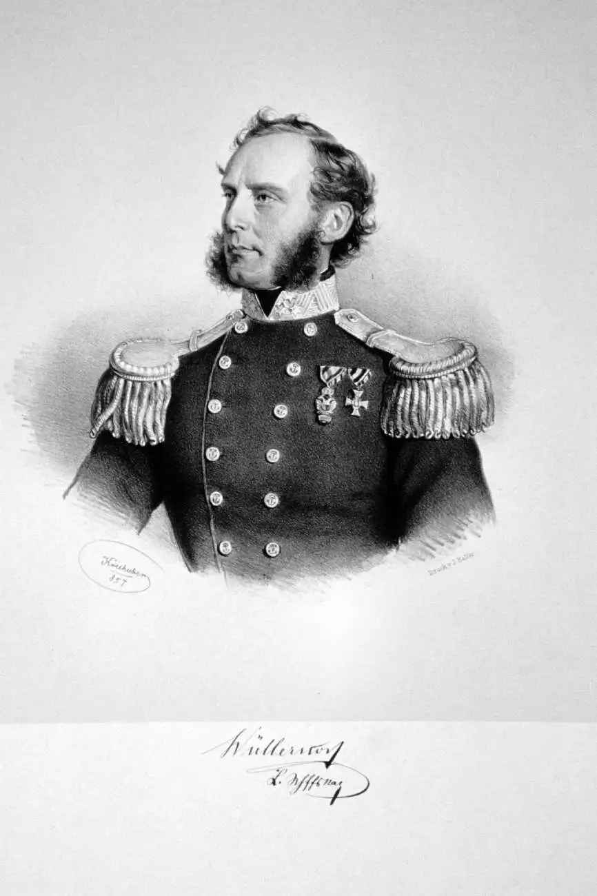
Baron Bernhard von Wüllerstorf-Urbair (January 29, 1816 – August 10, 1883) was an Austrian naval officer and later Minister of Trade. Wüllerstorf-Urbair was born in Trieste, then ruled by Austria, and later returned to Italy to manage the naval observatory in Venice. He was made captain and Commodore of the Novara for its 1857 – 1859 circumnavigation of the globe, which he wrote about in a book titled Journey of the Austrian Frigate Novara around the Earth in 1857, 1858, 1859 under the command of Commodore B. von Wüllersdorf-Urbair (German title Reise der oesterreichischen Fregatte Novara um die Erde…).
An Antarctic island that is an important bird sanctuary.
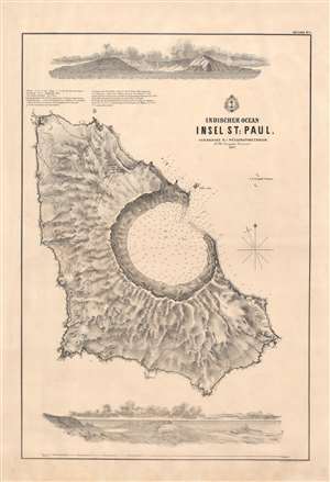
Indischer Ocean Insel St. Paul. / [St. Paul Island, Indian Ocean].
sold
- Digital Map Information
- Suitable for large format printing
- File Size: 29.21 MB
- File Type: ZIP / TIFF
- ICC color profile embedded
- Delivered instantly via download link
This is a rare 1857 Baron Bernhard von Wüllerstorf-Urbair map of St. Paul Island (Île Saint-Paul), a remote island in the extreme southern Indian Ocean, French Southern and Antarctic Lands. Today Île Saint-Paul is an important bird sanctuary. This is one of a series of maps of Indian Ocean islands compiled during the 1857 - 1859 Novara Expedition. The map includes a bird's-eye view of the island at bottom, and another illustration at top showing the island as it would have appeared from the ship. Near the top is a legend, along with latitude, longitude, and a number of other measurements and explanatory notes. (more details)
Island paradise in the Indian Ocean.
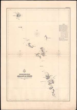
Indischer Ocean Generalkarte der Nicobaren. / [General Map of the Nicobar Islands].
sold
- Digital Map Information
- Suitable for large format printing
- File Size: 14.72 MB
- File Type: ZIP / TIFF
- ICC color profile embedded
- Delivered instantly via download link
This is a rare 1858 Baron Bernhard von Wüllerstorf-Urbair map of the Nicobar Islands, an Indian Ocean paradise popular with scuba divers. The map is one of a series of maps of Indian Ocean islands compiled during the Austrian Novara Expedition (1857 - 1859). Several of the islands and bays on this map, outlined in thick black lines, were the subject of their own maps in this series. This map includes an explanatory note and legend with detailed navigational information such as the latitude and longitude of different islands in the Nicobars and numbers on the map indicating the hourly speed of the current in stagnant or falling water. (more details)
Island in the Nicobars.
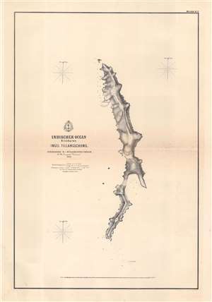
Indischer Ocean Nicobaren. Insel Tillangschong. / [Tillangchong Island, Nicobar Islands, Indian Ocean].
sold
- Digital Map Information
- Suitable for large format printing
- File Size: 11.42 MB
- File Type: ZIP / TIFF
- ICC color profile embedded
- Delivered instantly via download link
This is a rare 1858 Baron Bernhard von Wüllerstorf-Urbair map of Tillangchong Island, one of several maps the Indian Ocean drawn by the 1857 - 1859 Novara Expedition. This map includes a brief legend noting longitude, latitude, units of measurement, and conversion. (more details)