
Wallis, John (sold)

John Wallis (1745 - 1818) was a London map seller, publisher, and maker of puzzles and board games active in the late 18th and early 19th centuries. Wallis studied mapmaking under the stationer William Johnson, with home he was apprenticed from about 1769. Upon his release from apprenticeship he partnered with one "Stonehouse" to found the short-lived imprint "Wallis and Stonehouse". The firm lasted but two years before Wallis declared bankruptcy in 1778. Wallis subsequently started another independent firm specializing in children's books, games, and puzzles. In advertising ephemera issued c. 1812, Wallis claims, falsely, to have invented the puzzle map (this honor goes to either John Bowles (1759) or John Spilsbury (1767)). In 1813, he partnered with his son, Edward Wallis (c. 1787 - 1868), to found Wallis and Son, which proved, primarily under Edward's management, exceptionally successful. Wallis's cartographic corpus is significant, including many important Revolutionary War ears maps of the Americas, as well as various pocket and dissected maps of London, Westminster, and environs. Upon his death, Wallis passed his business on to his sons, Edward Wallis and John Wallis, who operated separate but successful firms. The Edward Wallis firm is considered the direct successor to John Wallis, and the John Wallis II firm a new and completely separate establishment.
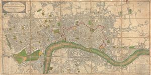
Wallis's Plan of the Cities of London and Westminster.
sold
- Digital Map Information
- Suitable for large format printing
- Full resolution TIFF file
- ICC color profile embedded
- Delivered instantly via download link
An attractive example of John Wallis's 1802 map of London and Westminster. The map covers from Hyde Park eastward along the Thames River to White Horse Street and Stepney, and from Pentonville in the north to St. Georges Fields in the south. This finely engraved ... (more details)
Geographical gaming at its best!
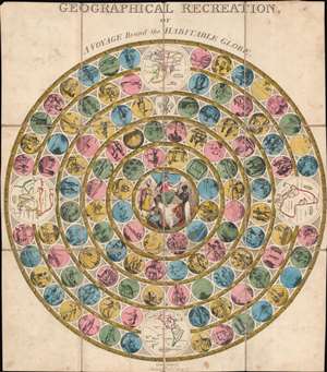
Geographical Recreation, or A Voyage Round the Habitable World.
sold
- Digital Map Information
- Suitable for large format printing
- Full resolution TIFF file
- ICC color profile embedded
- Delivered instantly via download link
A different take on a classic game, this 1809 John Harris map game of the world takes players on a journey through the British Empire. Divided into four quadrants (Asia, the Americas, Africa, and Europe), players move along concentric rings filled with 116 circles. Each circle bears a vignette of something encountered by players on the journey around the world. One such circle bears the death of Captain James Cook. Britannia appears in the middle, with personifications of Africa, Asia, and the Americas fawning over her. Slightly larger circular vignettes present maps of the continents. (more details)
Scarce early puzzle map of the World by John Wallis.
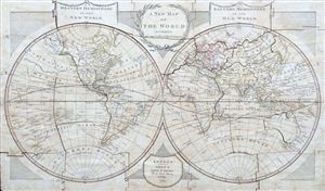
A New Map of the World according to the Latest Discoveries.
sold
- Digital Map Information
- Suitable for large format printing
- File Size: 1.09 MB
- File Type: ZIP / TIFF
- ICC color profile embedded
- Delivered instantly via download link
A very scarce discovery, this is John Wallis' 1813 jigsaw puzzle adaption of Laurie and Whittle's highly successful 1812 map of the world. Wallis acquired the rights to republish Laurie and Whittle's maps as jigsaw puzzles in 1813. Wallis claims to have been ... (more details)
Good times with geography!
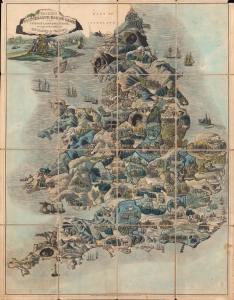
Wallis's Picturesque Round Game of the Produce and Manufactures of the Counties of England and Wales.
sold
- Digital Map Information
- Suitable for large format printing
- Full resolution TIFF file
- ICC color profile embedded
- Delivered instantly via download link
A fine example of this colorful c. 1830 table game map of England and Wales, filled with vignette illustrations. A race game with the added benefit of teaching children geography, this map represents each county in England and Wales. (more details)