
Dunn, Samuel (sold)
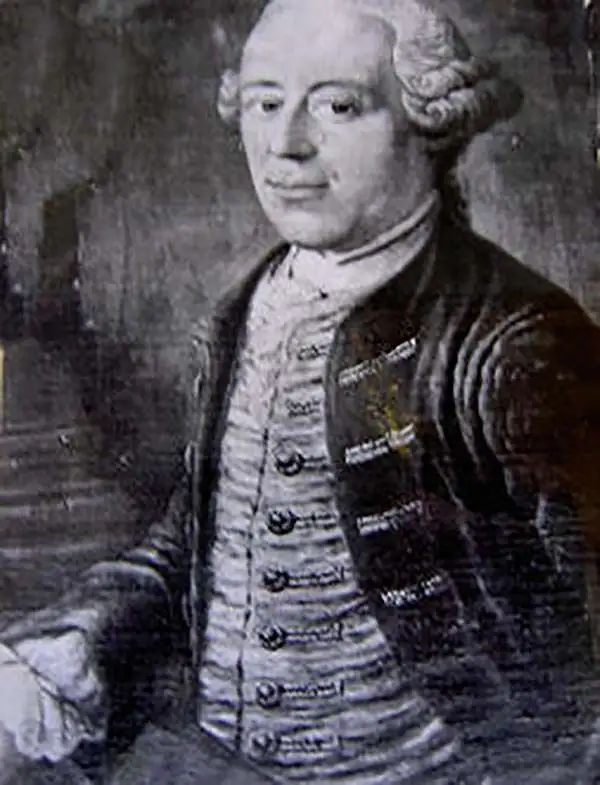
Samuel Dunn (1723 - January 1794) was a teacher of mathematics, navigation, and astronomy, an engraver, and a publisher active in London, England, during the second half of the 18th century. Dunn was born in Crediton, Devonshire, England. He was active as a teacher of navigation, running his own school, as early as 1742, when he was just 19. In 1758 Dunn became master of an academy at Ormond House, Paradise Row, Chelsea, London. He is credited with observing the transit of a comet in January of 1760 and the thrust of Venus in 1761. Dunn was a member of the Commission for the Discovery of the Longitude at Sea. As such he was one of the few teachers appointed to issued ship masters with 'Certificates of Competence' for the Board of Longitude. Dunn was also an official teacher of navigation for the East India Company and succeeded William Herbert as the editor of the New Directory for the East Indies. He published a number of scientific and astronomical texts as well as several important maps and charts. He lived until his death at No. 1 Boar's Head Court, Fleet Street, London, England.
Superb 18th century mapping of an area largely unknown to Europeans.
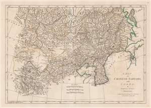
A Map of Chinese Tartary, with Corea.
sold
- Digital Map Information
- Suitable for large format printing
- Full resolution TIFF file
- ICC color profile embedded
- Delivered instantly via download link
This is an uncommon 1786 Samuel Dunn map of Korea, Manchuria, Hokkaido, Mongolia, and Chinese Tartary. Coverage extends from Tibet and Independent Tartary to Sakhalin, Hokkaido, and Japan. It extends south roughly as far as China's eastern Shandong Province. Korea exhibits a distinctly square base, and, as with much of this map, is consistent with the innovative cartography of J. B. B. D'Anville, one of the preeminent mapmakers of the period. The sea between Japan and Korea, alternately called the Sea of Korea or the Sea of Japan, depending on the mapmaker, is here settled in favor of Korea. The great wall is noted. (more details)
One of the earliest obtainable English language maps to name the United States.
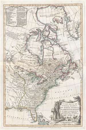
A New Map of the United States of North America with the British Dominions on that Continent…
sold
- Digital Map Information
- Suitable for large format printing
- DPI: 300
- File Size: 6.7 MB
- File Type: ZIP / TIFF
- ICC color profile embedded
- Delivered instantly via download link
This rare 1786 map of the United States by Samuel Dun and Robert Sayer is one of the earliest obtainable English maps to embrace the term 'United Sates.' The map was prepared by Samuel Dunn, a British mathematician, based upon earlier maps by Sayer and ... (more details)
Combining science and cartography.
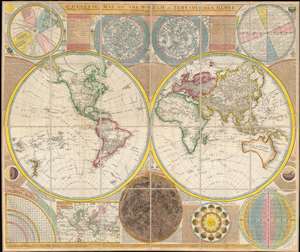
A General Map of the World, or Terraqueous Globe with all the New Discoveries and Marginal Delineations, Containing the Most Interesting Particulars in the Solar, Starry and Mundane System, by Sam. Dunn, Mathematician.
sold
- Digital Map Information
- Suitable for large format printing
- DPI: 600
- File Size: 127.69 MB
- File Type: ZIP / TIFF
- ICC color profile embedded
- Delivered instantly via download link
An absolutely stunning and monumental double hemisphere wall map of the world by Samuel Dunn dating to 1794. This extraordinary map is so large and so rich in detail that it is exceptionally challenging to do it full justice in either photographic or ... (more details)
Includes a detailed depiction of the Philippines.
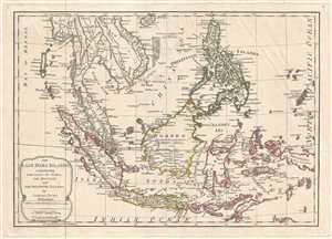
The East India Islands, Comprehending the Isles of Sunda the Maluccas and the Philippine Islands.
sold
- Digital Map Information
- Suitable for large format printing
- DPI: 300
- File Size: 6.24 MB
- File Type: ZIP / TIFF
- ICC color profile embedded
- Delivered instantly via download link
This is a 1794 Samuel Dunn and Laurie and Whittle map of the East Indies and Southeast Asia. The map depicts the region from the Bay of Bengal to Palau and from Hainan to Java, Timor, and the Indian Ocean. Highly detailed, locations throughout the ... (more details)
A most impressive 18th century wall map of the world.
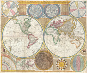
A General Map of the World, or Terraqueouis Globe with all the New Discoveries and Marginal Delineations, Containing the Most Interesting Particulars in the Solar, Starry and Mundane System.
sold
- Digital Map Information
- Suitable for large format printing
- DPI: 300
- File Size: 78.36 MB
- File Type: ZIP / TIFF
- ICC color profile embedded
- Delivered instantly via download link
An absolutely stunning and monumental double hemisphere wall map of the world by Samuel Dunn dating to 1794. This extraordinary map is so large and so rich in detail that it is exceptionally challenging to do it full justice in either ... (more details)
A most impressive 18th century wall map of the world.
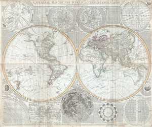
A General Map of the World, or Terraqueous Globe with all the New Discoveries and Marginal Delineations, Containing the Most Interesting Particulars in the Solar, Starry and Mundane System, by Sam. Dunn, Mathematician.
sold
- Digital Map Information
- Suitable for large format printing
- DPI: 300
- File Size: 77.85 MB
- File Type: ZIP / TIFF
- ICC color profile embedded
- Delivered instantly via download link
An absolutely stunning and monumental double hemisphere wall map of the world by Samuel Dunn dating to 1794. This extraordinary map is so large and so rich in detail that it is exceptionally challenging to do it full justice in either ... (more details)
A most impressive 18th century wall map of the world.
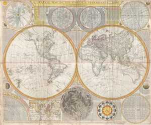
A General Map of the World, or Terraqueous Globe with all the New Discoveries and Marginal Delineations, Containing the Most Interesting Particulars in the Solar, Starry and Mundane System, by Sam. Dunn, Mathematician.
sold
- Digital Map Information
- Suitable for large format printing
- Full resolution TIFF file
- ICC color profile embedded
- Delivered instantly via download link
An absolutely stunning and monumental double hemisphere wall map of the world by Samuel Dunn dating to 1794. This extraordinary map is so large and so rich in detail that it is exceptionally challenging to do it full justice in either ... (more details)