
Du Val, Pierre (sold)
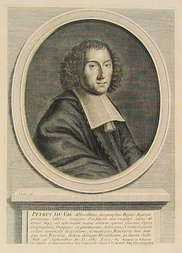
Pierre Du Val (May 19, 1619 - September 29, 1683) was a French cartographer and publisher active in Paris during the middle part of the 17th century. He was born Abbeville, Picardie, France, where his father, also Pierre, was a merchant, consul, and alderman. His mother was Marie Sanson, sister of Nicolas Sanson d'Abbeville (1600-1667), the leading French cartographer of his day. Du Val and probably apprenticed in Sanson's workshops. Afterwards, in Paris, he studied geography under Jean-Baptiste Gault, who later became the Bishop of Marseilles. He counseled M. Henri of Savoye, abbot of St. Sorlin, and M. Gilles Bouraut, bishop of Aire and later Evreux, in matters of science and geography. Du Val became Geographe ordinaire to Louis XIV in 1650. His first atlas, the 1654 Cartes Geographiques Methodiquement Divisees, contained few of his own maps and was mostly compiled from reissues of maps by other cartographers. His early work focused on atlases and geographical treatises, but later, he turned his attentions to large separate issue, often multi-sheet maps. After his death in 1683, his widow, Marie Desmaretz, continued his business at least until 1684, after which it passed to his daughters (either Marie-Angelique or Michelle), who published until at least 1688. He is the elder brother of Placide de Sainte Hélène (1648 - 1734), Placidium Augustinum, an Augustine monk and geographer.
The only map of the Pilgrimage to Compostela.
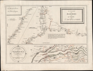
Le Voyage de Madrid et La Chemin de S. Iacques en Galice. / La Riviere et les Environs de Bovrdeavx. / La Route des Postes de Paris a Bayonne.
sold
- Digital Map Information
- Suitable for large format printing
- DPI: 600
- File Size: 486.8 MB
- File Type: ZIP / TIFF
- ICC color profile embedded
- Delivered instantly via download link
Of the utmost importance and rarity, this is the only map to illustrate the pilgrimage route to Santiago de Compostela (Chemin St. Jacques / Way of St. James) to appear during its period of greatest significance. This map was issued in 1659 by Piere Du Val and N. Langlois. It follows closely on the November 7, 1659 signing Treaty of the Pyrenees, which sealed a peace between France and Spain, ending the Franco-Spanish War (1635 - 1659) and opening the pilgrimage routes to French devotees for the first time in nearly 30 years. (more details)
The only map of the Pilgrimage of Santiago de Compostela at its height.
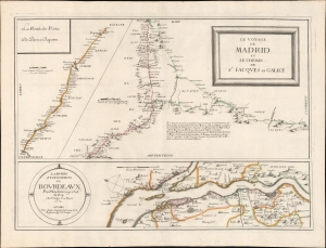
Le Voyage de Madrid et La Chemin de S. Iacques en Galice. / La Riviere et les Environs de Bovrdeavx. / La Route des Postes de Paris a Bayonne.
sold
- Digital Map Information
- Suitable for large format printing
- DPI: 600
- File Size: 440.49 MB
- File Type: ZIP / TIFF
- ICC color profile embedded
- Delivered instantly via download link
Of the utmost importance and rarity, this is the only map to illustrate the pilgrimage route to Santiago de Compostela (Chemin St. Jacques / Way of St. James) to appear during its period of greatest significance. This map was issued in 1659 by Pierre Du Val and Jacques Lagniet. It follows closely on the November 7, 1659 signing Treaty of the Pyrenees, which sealed a peace between France and Spain, ending the Franco-Spanish War (1635 - 1659) and opening the pilgrimage routes to French devotees for the first time in nearly thirty years. (more details)
Champlain's great lost map of 1616 hidden within a Duval Map of 1664! The first printed map showing Lake Ontario and Lake Huron!
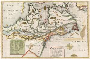
Le Canada faict par le Sr. de Champlain ou son La Nouelle France, La Nouvelle Angleterre, La Nouvelle Hollande, La Nouvelle Svede, La Virginie…
sold
- Digital Map Information
- Suitable for large format printing
- DPI: 300
- File Size: 9.35 MB
- File Type: ZIP / TIFF
- ICC color profile embedded
- Delivered instantly via download link
Truly one of the most intriguing maps we have had the privilege of working with. Ostensibly, this is the second edition of Pierre Du Val's map, Le Canada , but hidden within this map is one of the great historic maps – Samuel de Champlain's unpublished map of ... (more details)
Illustrates California as an Island and makes an explicit textual reference to the same theory.
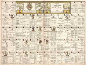
Les Tables de Geographie, reduites en un Jeu de Cartes.
sold
- Digital Map Information
- Suitable for large format printing
- DPI: 300
- File Size: 8.56 MB
- File Type: ZIP / TIFF
- ICC color profile embedded
- Delivered instantly via download link
This is a 1669 Pierre du Val broadside of an uncut complete deck of fifty-two playing cards. Akin to a conventional deck of cards, each of the four traditional suits corresponds with a continent: clubs for the Americas (both North and South), spades for Africa, ... (more details)
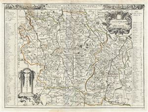
La Lorraine et l'Alsace.
sold
- Digital Map Information
- Suitable for large format printing
- DPI: 300
- File Size: 13.37 MB
- File Type: ZIP / TIFF
- ICC color profile embedded
- Delivered instantly via download link
This is a beautiful 1676 map of the French wine making region of Lorraine and Alsace by Pierre Du Val. It covers the north east portion of France along with parts of neighboring Germany and Luxemburg from Luxemburg City south as far as Basel, Switzerland and ... (more details)
European Colonies of North America.
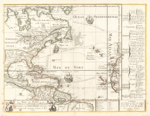
La Mer De Nort où sont la Nle. France, La Floride, La Nle. Espagne, Les Isles et La Terre-Ferme d'Amerique, Par P. Du-val Geographe Ordinaire du Roy 1679.
sold
- Digital Map Information
- Suitable for large format printing
- Full resolution TIFF file
- ICC color profile embedded
- Delivered instantly via download link
This is the rare, first state of Pierre DuVal's 1679 map of eastern North America, the Caribbean, and the Atlantic Ocean. DuVal's map significantly updates the earlier efforts of Nicolas Sanson, his uncle and teacher, and includes notations reflective of a new wave of exploration. Its eastern limits include the Atlantic coast of the Iberian Peninsula, the Azores, the Canary Islands and the Cap Verde Islands, and the coast of Africa from Morocco to the Guinea coast. (more details)
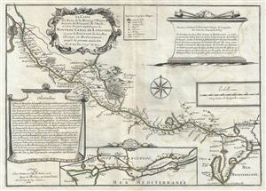
La Carte des Eaux de la Montagne Noire, du Lers, du Fresquel, de l'Aude, et autres Rivieres emploiees pour le Nouveau Canal de Languedoc et pour la Ionction des deux Mers Oceane, et Mediterranee, jusqu'a la presente annee 1681.
sold
- Digital Map Information
- Suitable for large format printing
- DPI: 300
- File Size: 9.12 MB
- File Type: ZIP / TIFF
- ICC color profile embedded
- Delivered instantly via download link
This is a scarce 1681 Pierre Du Val map of the Canal du Mudi or the Canal Royal en Languedoc. It covers from the Mediterranean and Etang-de Bages-Sigean westward to Toulouse. The map was drawn to show the waters of the Montagne Noire, the Fresquel, Aude and ... (more details)