
Longman (sold)
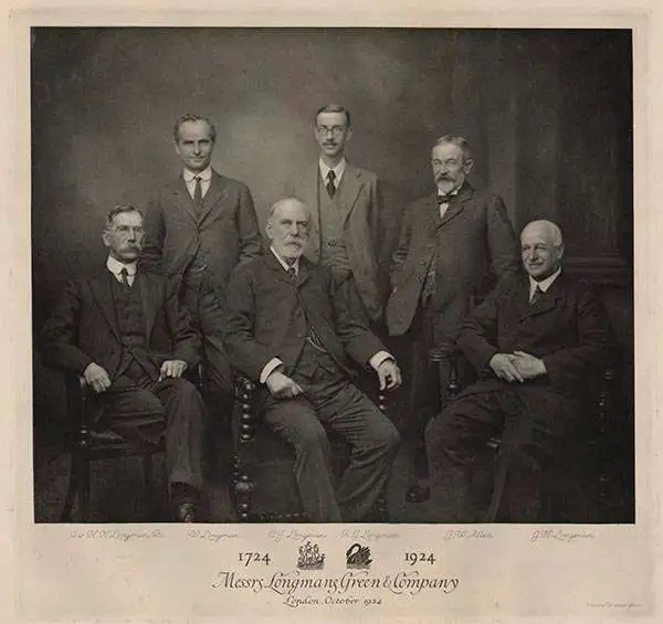
Longman (fl. c. 1720 - present) is a long-lived and venerable British publishing firm initially founded in the 1720s by Thomas Longman (1699 - 1755). Longman was born in Bristol and in 1716 was apprenticed to John Osborn, a London printer and bookseller. Completing his apprenticeship, Longman requested and was granted Osborn's daughter's hand in marriage. Shortly afterward, Longman acquired the stock of Robinson Crusoe publisher William Taylor and, along with Osborn, established a printing office on Paternoster Row. The two published numerous works, including Samuel Johnson's Dictionary. Around the same time that Osborn retired, Thomas Longman's nephew, another Thomas Longman (1730 - 1797), joined the firm, which was subsequently renamed T. and T. Longman. On the death of the original Thomas Longman, the nephew took over the firm and eventually passed it on to his son, Thomas Norton Longman (1771 - 1842). Thomas Norton seemed to have had a passion for partnering and, over the years, added Owen Rees (1730 - 1797), Thomas Brown (c. 1777 - 1869), and three more mysterious partners, Hurst, Orme, and Green, to the corporation's partner list. For many years, the firm published as Longman, Hurst, Rees, Orme, Brown & Green. Thomas Norton eventually passed the firm to his own sons, Thomas and William, who, during their tenure, bought out most of the minor partners, renaming the firm Longmans, Green & Co. Later, Thomas Longman's son took full control of the firm, renaming it Longman. During World War II, most of their plates and stock were destroyed, but the company nonetheless survived and went public in 1948. Longman was eventually acquired by the media conglomerate Pearson and continues to publish as Pearson Longman.
James Bruce's African speculations on the Lost Mines of King Solomon at Ophir and Tarshish.
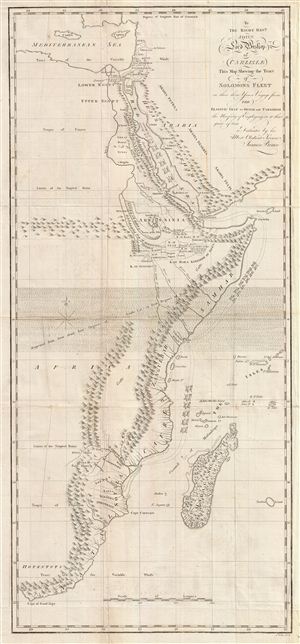
To the Right Revd. John Lord Bishop of Carlisle This Map Shewing the Tract of Solomons Fleet in thir three Years Voyage from the Elantic Gulf to Ophir and Tarshish the Necessity of Empolying in it that space of time is Dedicated by his Most Obedient Servent James Bruce.
sold
- Digital Map Information
- Suitable for large format printing
- Full resolution TIFF file
- ICC color profile embedded
- Delivered instantly via download link
This is a fascinating, significant, beautifully engraved, intricately detailed 1813 map of eastern Africa, covering from the Mediterranean to the Cape of Good Hope. The map serves to highlight Bruce's speculations, which follow those of Montesquieu, regarding the ... (more details)
Key River to Humboldt's Explorations of the Orinoco system.
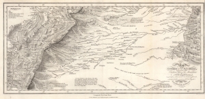
Map of the Course of the Rio Meta, and a part of the Eastern Chain of the Mountains of New Granada.
sold
- Digital Map Information
- Suitable for large format printing
- File Size: 8.59 MB
- File Type: ZIP / TIFF
- ICC color profile embedded
- Delivered instantly via download link
This is an 1818 Alexander von Humboldt map of the Rio Meta (Meta River) in Colombia and Venezuela. The Meta was one of the key waterways that Humboldt navigated while studying the intricate river systems of the Orinoco Basin. His observations and detailed descriptions of the Río Meta’s geography, flora, and fauna contributed to his broader understanding of South America’s natural environment. The map was compiled to illustrate Humboldt's epic voyage through South America, resulting in his Cosmos, an era-defining scientific work. (more details)
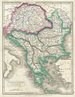
Turkey in Europe & Hungary.
sold
- Digital Map Information
- Suitable for large format printing
- DPI: 300
- File Size: 3.88 MB
- File Type: ZIP / TIFF
- ICC color profile embedded
- Delivered instantly via download link
This is a fine example of Samuel Butler's 1822 map of Greece, the Balkans, Hungary and the european part of Turkey. The map covers Turkey and Greece from the Gulf of Venice and the Ionian Sea to the Black Sea. It shows Hungary, Moldova, Wallachia, Bulgaria, ... (more details)
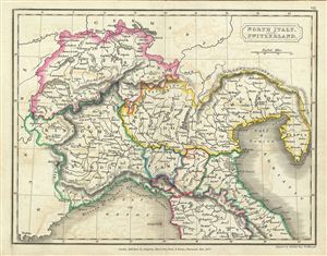
North Italy and Switzerland.
sold
- Digital Map Information
- Suitable for large format printing
- DPI: 300
- File Size: 3.21 MB
- File Type: ZIP / TIFF
- ICC color profile embedded
- Delivered instantly via download link
This is a fine example of Samuel Butler's 1822 map of North Italy and Switzerland. It covers the northern part of Italy depicting the territories of Tuscany, Modena, Parma, Kingdom of Sardinia, Lombardy, and parts of the State of the Church. Switzerland is ... (more details)
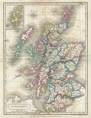
Scotland.
sold
- Digital Map Information
- Suitable for large format printing
- DPI: 300
- File Size: 4 MB
- File Type: ZIP / TIFF
- ICC color profile embedded
- Delivered instantly via download link
This is a fine example of Samuel Butler's 1822 map of Scotland. It covers Scotland from the Orkney Islands to Wigtown in the South inclusive of the Hebrides. The map marks the site of Antonine's Wall, fortifications built by the Roman empire to defend ... (more details)
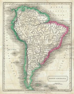
South America.
sold
- Digital Map Information
- Suitable for large format printing
- DPI: 300
- File Size: 3.4 MB
- File Type: ZIP / TIFF
- ICC color profile embedded
- Delivered instantly via download link
This is a fine example of Samuel Butler's 1822 map of South America. It covers all of South America from the Pacific Ocean to the Atlantic Ocean including the Falkland and Georgia Islands. During this time in history most of the continent was in the ... (more details)
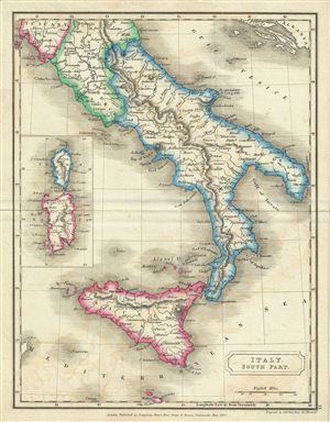
Italy, South Part.
sold
- Digital Map Information
- Suitable for large format printing
- DPI: 300
- File Size: 3.01 MB
- File Type: ZIP / TIFF
- ICC color profile embedded
- Delivered instantly via download link
This is a fine example of Samuel Butler's 1822 map of south Italy. It covers the Kingdom of Naples (a common reference for the 'Kingdom of the Two Sicilies'), which extended from the Papal States south to include all of Sicily extending as far south ... (more details)
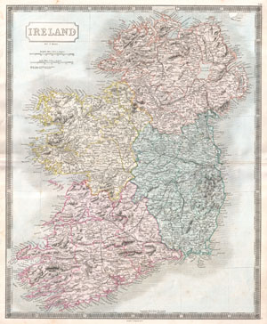
Ireland.
sold
- Digital Map Information
- Suitable for large format printing
- DPI: 300
- File Size: 14.86 MB
- File Type: ZIP / TIFF
- ICC color profile embedded
- Delivered instantly via download link
A beautiful example of Sidney Hall's c. 1850 map of Ireland. The island is depicted in full divided into its four provinces of Munster, Leinster, Connaught and Ulster. Shows cities, roads, rivers, trains and some topographical detail. Hand colored ... (more details)