
Ohman, August Reinhold (sold)

August Reinhold Ohman (May 3, 1859 - April 22, 1934) was a Swedish-American map publisher, engraver, and draftsman. Ohman arrived in the United States in 1893. He married Alice Mary Colton (1868 - 193x), Charles B. Colton's daughter, on January 5, 1897. A year later, in 1898, Ohman began working with G.W. and C.B. Colton, when the firm became known as Colton, Ohman, and Company, which existed until about 1901. After that year, Ohman operated his own firm under his own name August R. Ohman, and advertised his firm as the 'successors to the Coltons'. The Ohman Map Company, as it became known, moved to 258 Broadway around 1914, where it operated until around the time of Ohman's death. George J. Nostrand, who became a major map publisher, operated in the same building and appears to have worked for or with Ohman in some capacity, gradually taking over the company. Some of Nostrand's work is very similar to Ohman's, particularly his bird's eye view of New York City, and at least one map carries both men's names.
Educating the Public about the Spanish-American War.
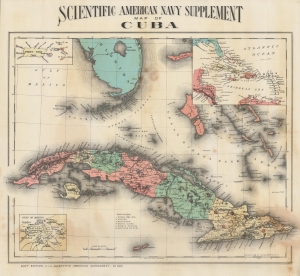
Scientific American Navy Supplement map of Cuba.
sold
- Digital Map Information
- Suitable for large format printing
- Full resolution TIFF file
- ICC color profile embedded
- Delivered instantly via download link
A colorful representation of the Caribbean and South Florida focused on Cuba produced in for the Scientific American Navy Supplement. It was produced during the Spanish-American War and was distributed to help readers understand the geography of the conflict. (more details)
Visual history of American territorial expansion.
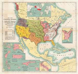
Map of the United States Showing the Territorial Expansion of a Century - 1804 - 1904.
sold
- Digital Map Information
- Suitable for large format printing
- Full resolution TIFF file
- ICC color profile embedded
- Delivered instantly via download link
This is a 1904 August Ohman map of the United States tracing American territorial expansion from 1804 until 1904. Purchases and annexations are illustrated using different colors and labeled with the name of the territory and the date acquired. The Louisiana Territory, for example, is labeled as such with the caption 'purchased from France in 1803'. Insets in the bottom left quadrant highlight areas outside the continental United States that had been annexed, purchased, or acquired by other means, including Alaska, Hawaii, Guam, the Philippines, and Puerto Rico. An inset map of the world, situating all these disparate Pacific islands in a global perspective, appears along the top border. A table along the left border provides the area in square miles added with each of these territorial expansions. (more details)
The NYC during the Roaring Twenties.
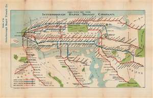
Routes of the Interborough Rapid Transit Company.
sold
- Digital Map Information
- Suitable for large format printing
- Full resolution TIFF file
- ICC color profile embedded
- Delivered instantly via download link
This is a March 1, 1925, Ohman Map Company and Interborough Rapid Transit Company subway map of the Interborough Rapid Transit Company's routes in New York City. Elevated (blue) and subway (red) lines are differentiated. Express and local stations are identified, and the jointly operated lines in Queens and The Bronx are illustrated as black and red dashed lines. Central Park, the Metropolitan Museum of Art, the Museum of Natural History, Yankee Stadium, Ebbets Field, and Prospect Park rank among the locations identified. (more details)
Fairchild aerial photography promoting Robert Moses's ambitious highway infrastructure.
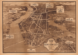
Aerial View of New York City, Main Automobile Roads / Nostrands Map of New York House Numbers Subway Guide / Visitors Map and Hotel Directory of New York.
sold
- Digital Map Information
- Suitable for large format printing
- Full resolution TIFF file
- ICC color profile embedded
- Delivered instantly via download link
This is a c. 1933 view of New York City, taken by aerial photography pioneer Sherman Fairchild, used here for the Hotel Association of New York City. It presents the city during the strange decade of the 1930s, when the Great Depression (1929 - 1939) gripped the country, but also when many of the city's distinctive buildings, bridges, and tunnels were built. (more details)
A Map for the Metropolis.
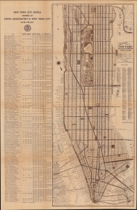
Nostrands Map of New York House Numbers Subway Guide / Visitors Map and Hotel Directory of New York.
sold
- Digital Map Information
- Suitable for large format printing
- Full resolution TIFF file
- ICC color profile embedded
- Delivered instantly via download link
An eminently useful map and guide, this work was produced c. 1933 by George Nostrand of the Ohman Map Co. for the Hotel Association of New York City. It presents the city during the strange decade of the 1930s, when economic depression gripped the country but also when many of the city's distinctive buildings, bridges, and tunnels were built. (more details)