
Philip, George
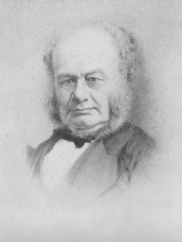
George Philip (1800 - 1882) was a map publisher and cartographer active in the mid to late-19th century. Philip was born into a Calvinst family in Huntly, Aberdeenshire, Scotland. Around 1819 he apprenticed himself to William Grapel, a Liverpool printer and bookseller. Fifteen years later, in 1834, Philip founded his own Liverpool book and map firm. Philip's earliest cartographic ventures were mostly educational material issued in tandem with John Bartholomew Sr., August Petermann, and William Hughes. In 1848, Philip admitted his son, George Philip Jr. (1823 - 1902) into the firm, renaming it George Philip and Son Ltd. George Philip Jr. ran the firm until his death in 1902, by which time it had developed into a major publishing concern. His successors established the London Geographical Institute, a factory where they embraced modern printing techniques to produce thousands of economical and high quality maps. In April 1988, George Philip & Son was acquired by Octopus Publishing, a branch of Reed International. Nonetheless, today the firm trades and publishes to this day as George Philip and Son.
Comparative cartography.
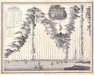
Plan of the Principal Rivers throughout the World.
$1,250.00
Acquire
- Digital Map Information
- Suitable for large format printing
- Full resolution TIFF file
- ICC color profile embedded
- Delivered instantly via download link
This is a c. 1830 George Philip and Son comparative chart of the world's rivers. Divided geographically, the world's rivers fall into four groups: European, Asian, American, and African. Philip employs boulders, ridges, forests, and mountain ranges to divide the groups. The rivers originate in fantasy mountain ranges. All the rivers empty into a sea along the bottom of the chart. Here, it is worth noting that Philip also pays close attention to the mouths of the rivers and illustrates their deltas in some detail. Among these are the Rhine, Volga, Indus, Niger, and Nile. The mouths of the Amazon and the Rio de la Plata receive exceptional treatment. Numerous sailing ships ply the waters of this vast imaginary sea and a lighthouse occupies a point of land in the foreground on the right. A table situated in the upper left provides the length of each river in miles. A smaller table compares the length of the Thames (an English reader's likely point of reference) with that of other world rivers and states that the Amazon is over fifteen times as long. (more details)
Gold Field map of Australia drawn for the 1851 Victoria Gold Rush.
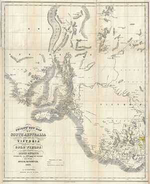
Philip's New Map of South Australia and Part of Victoria Showing the Gold Fields and other Mining Districts according to Parliamentary Returns and other Official Authorities.
$2,000.00
Acquire
- Digital Map Information
- Suitable for large format printing
- DPI: 300
- File Size: 10.28 MB
- File Type: ZIP / TIFF
- ICC color profile embedded
- Delivered instantly via download link
A remarkable and very rare 1853 map of the gold discoveries in South Australia and Victoria. The map covers from Coffin Bay to Cape Ottoway and as far north as Mount Hopeless. Major gold discoveries are highlighted in yellow, and these include discoveries near ... (more details)
Allied invasion of Crimea.
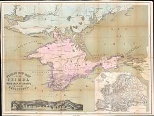
Philips' New Map of the Crimea with Map of Europe and View of Sevastopol.
$300.00
Acquire
- Digital Map Information
- Suitable for large format printing
- Full resolution TIFF file
- ICC color profile embedded
- Delivered instantly via download link
This is a striking 1854 George Philip map of the Crimean Peninsula (Crimea) during the Crimean War. Coverage extends from the Dnieper River to the Black Sea, and from Tendra Bay to the Sea of Azov. Text near Kalamita Bay follows the action of the Crimean War. A notation marks where the Allies landed on September 14, and another indicates the site of the Battle of the Alma and Allied and Russian positions. Sevastopol, the Allied objective, is identified at the bottom of Kalamita Bay. A view of Sevastopol is situated along the bottom border. Within the view, three forts, the cemetery, and a lighthouse are named. An inset map of Europe in the bottom right situates Crimea in relation to continental Europe. (more details)
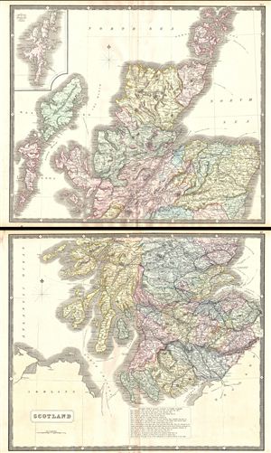
Scotland.
$350.00
Acquire
- Digital Map Information
- Suitable for large format printing
- File Size: 28.99 MB
- File Type: ZIP / TIFF
- ICC color profile embedded
- Delivered instantly via download link
A large two part map of Scotland issued by George Philip and Son around 1860. Philip's map covers all of Scotland with color coding by county. At bottom center there is a key to common Scottish geographical terms, such as Ben (Mountain), Fell (Mountain), Dun ... (more details)
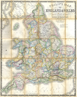
Philips’ Travelling Map of England
$370.00
Acquire
- Digital Map Information
- Suitable for large format printing
- File Size: 6.41 MB
- File Type: ZIP / TIFF
- ICC color profile embedded
- Delivered instantly via download link
This is an impressive folding pocket map of England and Wales by the venerable English map publishing firm of George Philip. Formally titled, 'Philips' Travelling Map of England.' Produced under the editorial management of Professor William Hughes ... (more details)
Devilish Fight to Dislodge the Boers.
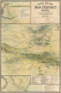
Bird's Eye View of War District Natal. To Accompany the Official Railway Guide.
$950.00
Acquire
- Digital Map Information
- Suitable for large format printing
- File Size: 51.41 MB
- File Type: ZIP / TIFF
- ICC color profile embedded
- Delivered instantly via download link
This is a 1903 George Philip and Son bird's-eye view of Natal, now KwaZulu-Natal, South Africa. It provides a detailed and comprehensive overview of the Second Boer War (1899 - 1902), a difficult conflict that had important implications for the British Empire and the changing nature of warfare. (more details)
Monuments and historical wonders.
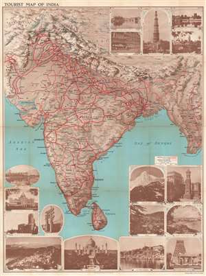
Tourist Map of India.
$800.00
Acquire
- Digital Map Information
- Suitable for large format printing
- Full resolution TIFF file
- ICC color profile embedded
- Delivered instantly via download link
This is a lovely c. 1930 map of India by George Philip and Sons Ltd. The map extends from Kashmir south to Ceylon or Sri Lanka and includes modern-day India, Pakistan, Nepal, Bhutan, and Burma (Myanmar). Cities, towns, and villages are labeled throughout, with large block lettering marking the region's most important cities. Bold red lines highlight the railway network and differentiates between broad vs. narrow gauge. (more details)
One of the world's great wildlife parks.
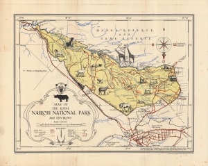
Map of the Royal Nairobi National Park and Environs.
$500.00
Acquire
- Digital Map Information
- Suitable for large format printing
- Full resolution TIFF file
- ICC color profile embedded
- Delivered instantly via download link
An attractive 1950 pictorial map of Kenya by Dennis Own Mathews, a surveyor and cartographer who served as the General Manager of the East African Tourist Travel Association. The recto highlights the Royal Nairobi National Park, opened only a few years prior, while the verso (back) records the locations of all Kenyan national parks and reserves. (more details)
Epic Thai-language Wall Map of Thailand.
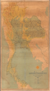
A huge and unrecorded c. 1958 Thai-language wall map of Thailand, produced by Shell (operating locally as the Shell Company of Thailand, Ltd.) and printed by George Philip and Son. Emphasizing highways and topographic detail, it reflects expanding geological knowledge and infrastructural development, both of which were of critical importance to both Thailand and Shell. (more details)
The Emirates' Earliest School Atlas.
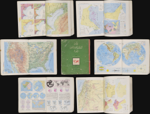
أطلس الامارات العربية المتحدة والعالم / [Atlas of the United Arab Emirates and the World].
$750.00
Acquire
This is a c. 1972 Arabic-language school atlas of the world with a focus on the United Arab Emirates, published by Said Sabbagh in Beirut. It is likely the earliest published atlas to specifically highlight the Emirates following their independence from Britain in late 1971. (more details)
Earliest Official Map of the U.A.E.
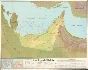
This is a 1973 large-format Arabic-language folding map of the United Arab Emirates compiled by Ezzedin Ibrahim Mustafa and Mohamed Morsy Abdullah. It is the earliest official map of the country and captures it in the months after its creation. (more details)