

The Western Hemisphere.
sold
- Digital Map Information
- Suitable for large format printing
- File Size: 1.68 MB
- File Type: ZIP / TIFF
- ICC color profile embedded
- Delivered instantly via download link
A beautiful and usual panoramic view showing views of rivers, mountains, farms and buildings typical of the New World, spans over text describing the Western Hemisphere and its 'savage race' and 'beasts of prey and barbarism,' which the text reassures us are all ... (more details)

Specimen of Topographical Work. Engraved and Published by L. Prang & Co. Boston.
sold
- Digital Map Information
- Suitable for large format printing
- File Size: 3.01 MB
- File Type: ZIP / TIFF
- ICC color profile embedded
- Delivered instantly via download link
A beautifully colored map and exquisitely engraved map showing examples of various physical and madmade features on an imaginary landscape. Whether this was meant as a cartographic primer, or an example of the firm's general topographical drawing process, is ... (more details)

Eastern Hemisphere.
sold
- Digital Map Information
- Suitable for large format printing
- File Size: 1.98 MB
- File Type: ZIP / TIFF
- ICC color profile embedded
- Delivered instantly via download link
A charming map of the eastern Hemisphere in 1831, featuring, among other things, Africa's 'Mountains of the Moon,' by G. ... (more details)

[untitled]
sold
- Digital Map Information
- Suitable for large format printing
- File Size: 3.08 MB
- File Type: ZIP / TIFF
- ICC color profile embedded
- Delivered instantly via download link
A charming map of British New York from Manhattan to Lake Ontario, featuring the British Crest, a hunter shooting a ... (more details)
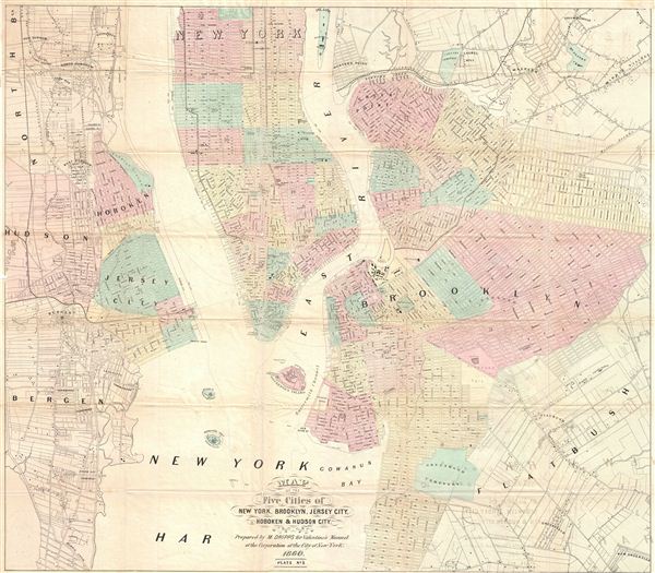
Map of the Five Cities of New York, Brooklyn, Jersey City, Hoboken & Hudson City.
sold
- Digital Map Information
- Suitable for large format printing
- File Size: 19.52 MB
- File Type: ZIP / TIFF
- ICC color profile embedded
- Delivered instantly via download link
A beautiful example of M. Dripps' map of New York City, Brooklyn, Jersey City, Hoboken and Hudson County, published ... (more details)

Ward's Island Building, N.Y. 1860.
sold
- Digital Map Information
- Suitable for large format printing
- File Size: 2.67 MB
- File Type: ZIP / TIFF
- ICC color profile embedded
- Delivered instantly via download link
A beautifully drawn view of the Ward's Island, N.Y. The island is situated in the east River in New York City, and ... (more details)

House of Refuge, Randals Island, N.Y. 1860.
sold
- Digital Map Information
- Suitable for large format printing
- File Size: 2.87 MB
- File Type: ZIP / TIFF
- ICC color profile embedded
- Delivered instantly via download link
A beautifully drawn view of the House of Refuge on Randal's Island [sic], N.Y. in 1860. The drawing features the ... (more details)

View of Market Slip. Taken from the Corner of Cherry St - 1959.
sold
- Digital Map Information
- Suitable for large format printing
- File Size: 2.43 MB
- File Type: ZIP / TIFF
- ICC color profile embedded
- Delivered instantly via download link
An exquisitely detailed view of Market Slip in 1859, from the corner of Cherry St. Features S. Valentine & ... (more details)
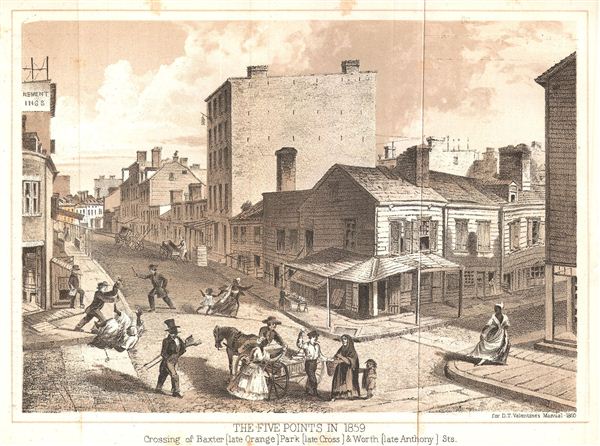
The Five Points in 1859. Crossing of Baxter (late Orange) Park (late Cross) & Worth (late Anthony) Sts.
sold
- Digital Map Information
- Suitable for large format printing
- File Size: 2.16 MB
- File Type: ZIP / TIFF
- ICC color profile embedded
- Delivered instantly via download link
An exquisitely detailed view of New York City's Five Points slum in 1859, showing the crossing of Baxter, Park ... (more details)
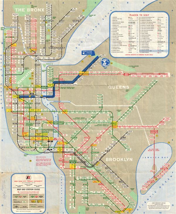
World's Fair Subway Map.
sold
- Digital Map Information
- Suitable for large format printing
- File Size: 9.83 MB
- File Type: ZIP / TIFF
- ICC color profile embedded
- Delivered instantly via download link
The 1964 World's Fair pocket map, with the ‘Blue Arrow' motif of the New York Subway was issued by the New ... (more details)
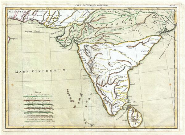
Pars Orientalis Inferior.
sold
- Digital Map Information
- Suitable for large format printing
- Full resolution TIFF file
- ICC color profile embedded
- Delivered instantly via download link
A beautiful map of India in antiquity issued by J. Janvier c. 1750. This map covers the subcontinent from ... (more details)
Map of the most prominent site on the moon.
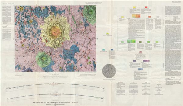
Geologic Map of the Copernicus Quadrangle of the Moon by H. H. Schmitt, N. J. Trask, and E.M. Shoemaker.
sold
- Digital Map Information
- Suitable for large format printing
- File Size: 47.21 MB
- File Type: ZIP / TIFF
- ICC color profile embedded
- Delivered instantly via download link
A stunning full color geologic map of the Copernicus Quadrangle of the Moon from 1967, by the U.S. ... (more details)

Geologic Map of the Julius Ceasar Quadrangle of the Moon by Elliot C. Morris and Don E. Wilhelms.
sold
- Digital Map Information
- Suitable for large format printing
- File Size: 53.54 MB
- File Type: ZIP / TIFF
- ICC color profile embedded
- Delivered instantly via download link
This is the U.S. Geological Survey's stunning full color geological map of the Moon's Julius ... (more details)

Geologic Map of the Montes Apenninus Region of the Moon by R. J. Hackman.
sold
- Digital Map Information
- Suitable for large format printing
- File Size: 45.55 MB
- File Type: ZIP / TIFF
- ICC color profile embedded
- Delivered instantly via download link
This is the U.S. Geological Survey's stunning 1966 full color Geologic Map of the Montes ... (more details)
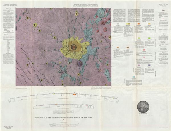
Geologic Map of the Kepler Region of the Moon by R. J. Hackman.
sold
- Digital Map Information
- Suitable for large format printing
- File Size: 51.12 MB
- File Type: ZIP / TIFF
- ICC color profile embedded
- Delivered instantly via download link
This is the U.S. Geological Survey's stunning full color 1962 Geologic Map of the Kepler ... (more details)
Landing site of Luna 5, Ranger 7, Surveyor 3, and Apollo 12.
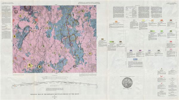
Geologic Map of the Riphaeus Mountains Region of the Moon by R. E. Eggleton.
sold
- Digital Map Information
- Suitable for large format printing
- File Size: 48.19 MB
- File Type: ZIP / TIFF
- ICC color profile embedded
- Delivered instantly via download link
A full color Geologic Map of the Riphaeus Mountains Region of the Moon by the U.S. ... (more details)

Geologic Map of the Hevelius Region of the Moon by John F. McCauley.
sold
- Digital Map Information
- Suitable for large format printing
- File Size: 46.64 MB
- File Type: ZIP / TIFF
- ICC color profile embedded
- Delivered instantly via download link
A stunning full color geologic map of the Hevelius Region of the Moon by the U.S. ... (more details)
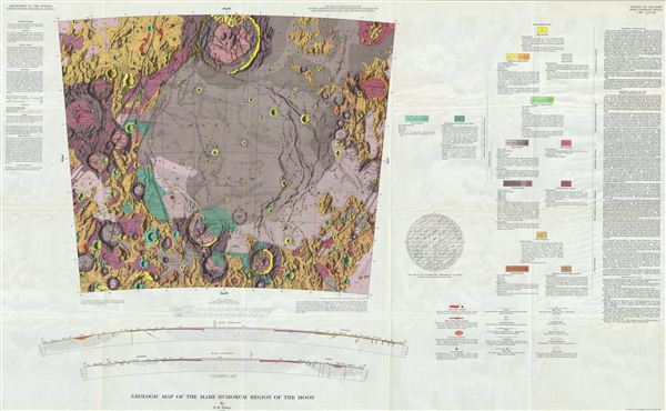
Geologic Map of the Mare Humorum Region of the Moon by S. R. Titley.
sold
- Digital Map Information
- Suitable for large format printing
- File Size: 50.68 MB
- File Type: ZIP / TIFF
- ICC color profile embedded
- Delivered instantly via download link
A stunning full color geologic map of the Mare Humorum Region of the Moon by the ... (more details)

Johnson's New Map of the State of Texas
sold
- Digital Map Information
- Suitable for large format printing
- File Size: 17.95 MB
- File Type: ZIP / TIFF
- ICC color profile embedded
- Delivered instantly via download link
An exceptional example of A. J. Johnson's highly desirable map of Texas. Created ... (more details)
Scarce 2nd State of Johnson's Southwest Map showing Nevada's original territorial configuration.
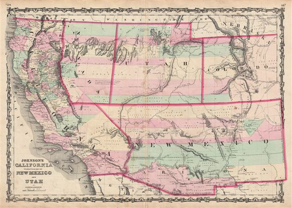
Johnson's California Territories of New Mexico and Utah.
sold
- Digital Map Information
- Suitable for large format printing
- File Size: 17.9 MB
- File Type: ZIP / TIFF
- ICC color profile embedded
- Delivered instantly via download link
A fine example of the scarce 2nd edition of JohnsonÂ's map of the southwestern ... (more details)