
Berghaus, Heinrich Karl Wilhelm (sold)
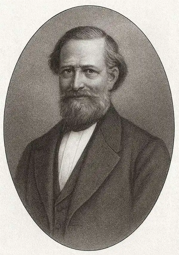
Heinrich Karl Wilhelm Berghaus (May 3, 1797 - February 17, 1884) was a German (Prussian) geographer, linguist, and ethnologist who founded the Potsdam Geographische Kunstschule. He was born in Kleve, Germany, and, as a young man, trained as a surveyor. He put his training to work in 1811, working in the French Department of Lippe as a bridge and road engineer. When the Kingdom of Westphalia dissolved in 1813, he volunteered for the Prussian army administration, traveling with General Bogislav Friedrich Emanuel von Tauentzien (1760 - 1824) as far as Brittany. In 1816, he joined the staff of the Prussian trigonometrical survey, conducting surveys throughout the nation. Among his many accomplishments, Berghaus is credited with inventing the 'thematic atlas' in 1845. In addition to his own work, he trained some of the most important German geographers and cartographers of the late 19th century, including August Heinrich Petermann (1822 - 1878) and his nephew Hermann Berghaus (1828 - 1890). The elder Berghaus also was a friend and associate of the naturalist Alexander von Humboldt (1769 - 1859), producing some of the maps in his publications. In 1837, he inherited rights to Daniel Gottlob Reymann's (1759 - 1837) monumental Geographischer Specialatlas von Deutschland. Berghaus is best known for his own influential and wide-ranging atlases, namely Atlas von Asien, published between 1833 and 1837, and Berghaus' Physikalischer Atlas, published in multiple editions in the 1830s - 1840s. Although Atlas von Asien was a commercial failure, it was regarded as a work of supreme quality, boosting the reputation of the publisher Justus Perthes and setting up their next collaboration, Berghaus' Physikalischer Atlas, for success. In addition to his geographical work, Berghaus was also an accomplished linguist and ethnologist and published an important 1851 article on American Indian language and ethnology (Geographisches Jahrbuch, 1851).
'The most beautiful terrain ever engraved' - Hoffmann
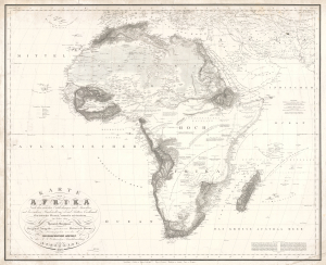
KARTE von AFRIKA Nach den neuesten Entdeckungen und Ansichten, mit besonderer Rücksicht auf Karl Ritters Erdkunde.Ein kritischer Versuch, entworfen und bearbeitet im Jahre 1824 von Heinrich Berghaus.
sold
- Digital Map Information
- Suitable for large format printing
- File Size: 38.76 MB
- File Type: ZIP / TIFF
- ICC color profile embedded
- Delivered instantly via download link
This is Heinrich Berghaus' important 1826 separate-issue map of Africa. As with all of Berghaus' separate issue works, it is scarce today due to small print runs, but was influential in its time for establishing new conventions in the standardized rendering of terrain, one of the major challenges of early 19th-century cartography. It is the great cartographer's earliest known solo work, following only his 1825 contributions to Reymann's topographische Special-Karte von Deutschland. As a whole, this map is the most comprehensive summary of African geography known to Europeans in the early 19th century. (more details)
Most engrossingly detail map of Southeast Asia to appear the first half of the 19th century.
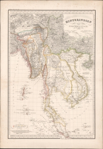
Hinterindien.
sold
- Digital Map Information
- Suitable for large format printing
- DPI: 600
- File Size: 1252.23 MB
- File Type: ZIP / TIFF
- ICC color profile embedded
- Delivered instantly via download link
This is a striking 1832 Heinrich Berghaus and Francis Buchanan-Hamilton map of Southeast Asia, comprising Burma, Siam (Thailand), Loas, Cambodia, Vietnam, Malaya, and Singapore. It was issued for Berghaus' looseleaf Atlas von Asien, the best informed general cartographic work on Asia to appear in the mid-19th century. (more details)
First map to name Abu Dhabi.
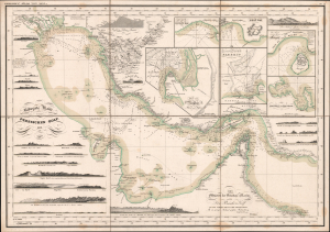
Reduzirte-Karte vom Persischen Golf.
sold
- Digital Map Information
- Suitable for large format printing
- Full resolution TIFF file
- ICC color profile embedded
- Delivered instantly via download link
This is Heinrich Berghaus's groundbreaking 1832 map of the Persian Gulf, identified by historian Cyrus Alai as 'the most detailed' map of the Gulf. Significantly, it is the earliest printed map to name Abu Dhabi (Abuthubbi / Bûthabîn / أبوظبي). The map was part of Berghaus's seminal Atlas von Asia, a loose-leaf collection of highly detailed regional maps of Asia, each an individual masterpiece of cartographic achievement. (more details)
Malaspina hydrography and Ildefonso de Aragón geography.
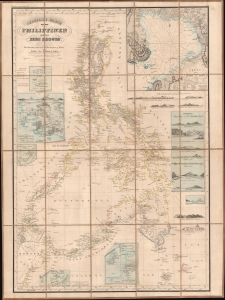
Reduzierte Karte von den Philippinen und den Sulu Inseln.
sold
- Digital Map Information
- Suitable for large format printing
- File Size: 1049.97 MB
- File Type: ZIP / TIFF
- ICC color profile embedded
- Delivered instantly via download link
This is a striking 1832 Heinrich Berghaus map of the Philippines. It was issued for Berghaus' looseleaf Atlas von Asien, the best-informed general cartographic work on Asia to appear in the mid-19th century. It is the first large-scale map to comprehensively incorporate both the Malaspina hydrography and Ildefonso de Aragón seminal geographical surveys. (more details)
Singapore and the disputed Spratly Islands.
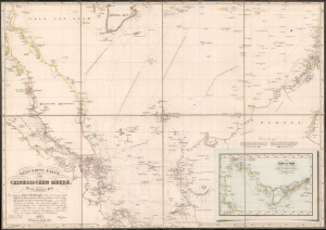
Reduzirte Karte vom Chinesischen Meere; 1stes oder Sudliches Blatt.
sold
- Digital Map Information
- Suitable for large format printing
- Full resolution TIFF file
- ICC color profile embedded
- Delivered instantly via download link
This is a striking 1835 Heinrich Burghaus nautical map of the South China Sea, Malay Archipelago, Singapore, and the Gulf of Siam. Significantly, it is among the finest mappings of the now disputed Spratly Archipelago. It was issued for Berghaus' looseleaf Atlas von Asien, the best informed general cartographic work on Asia to appear in the mid-19th century. (more details)
Sumatra during the pepper trade.
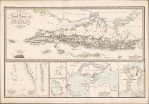
Karte von der Insel Sumatra.
sold
- Digital Map Information
- Suitable for large format printing
- DPI: 600
- File Size: 97.9 MB
- File Type: ZIP / TIFF
- ICC color profile embedded
- Delivered instantly via download link
This is a striking 1837 Heinrich Berghaus map of Sumatra with important insets of Singapore and the Maldives. It was issued for Berghaus' looseleaf Atlas von Asien, the best informed general cartographic work on Asia to appear in the mid-19th century. (more details)
Opening of China at the end of the First Opium War.
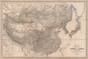
Karte von China und Japan den Manen D'Anville's und Klapproth's.
sold
- Digital Map Information
- Suitable for large format printing
- Full resolution TIFF file
- ICC color profile embedded
- Delivered instantly via download link
A gorgeous large-format 1843 map of East Asia by Heinrich Berghaus, published by Justus Perthes. It was published in the immediate wake of the First Opium War (1839 - 1842), which opened China to increased foreign trade and sparked a global interest in the vast empire. Moreover, Berghaus provides tremendous geographical detail, underscoring the immensity of the Qing China and its potential as a source of good and resources. (more details)