
Bond, Frank (sold)
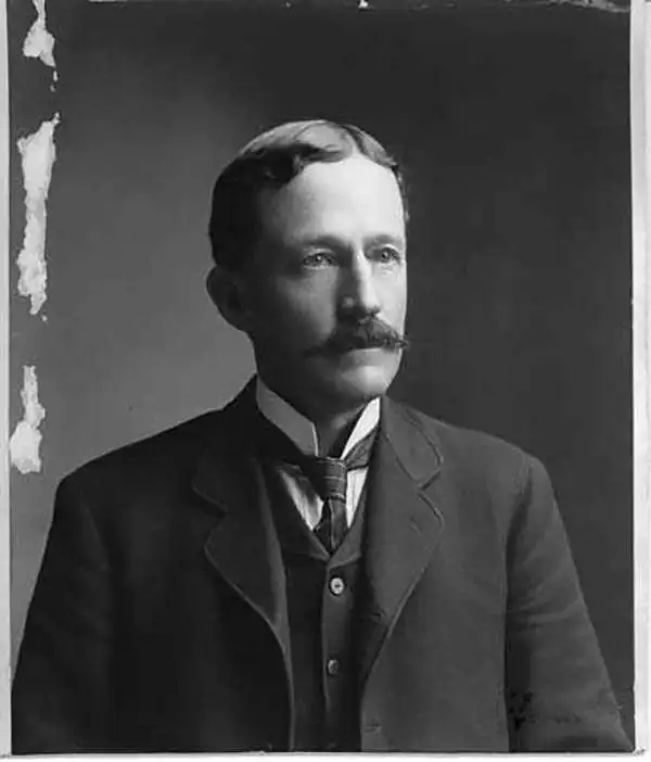
Frank Bond (1856 - 1940) was an American cartographer, draftsman, surveyor, illustrator, and politician. Born in rural Jones County, Iowa, Bond graduated from the University of Iowa. In 1772, he moved to Cheyenne Wyoming, where he worked for the Wyoming Surveyor-General's Office and later the General Land Office as a draftsman. He left this position to edit the Cheyenne Tribute and engage in local politics. Bond was elected as a member of the first Wyoming legislature. In 1900, he moved to Washington, D.C., where he held the positions of Chief of the Drafting Division and Chief Clerk at the General Land Office. While at the Land Office, Bond helped determine the borders of Yosemite National Park . As a skilled mapmaker and illustrator, Bond created numerous maps. He was also an active illustrator, painter and ornithologist, creating and preserving bird refuges throughout the country. He had a twin brother, Fred Bond, was also an important surveyor and draftsman.
The finest commercial map of Wyoming Territory issued at the height of the Wyoming Cattle Boom.
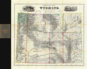
Holt's New Map of Wyoming.
sold
- Digital Map Information
- Suitable for large format printing
- File Size: 85.59 MB
- File Type: ZIP / TIFF
- ICC color profile embedded
- Delivered instantly via download link
A near flawless 1884 second edition of Holt's important and rare separate-issue map of Wyoming Territory. Issued at the height of the Wyoming Cattle Boom (Bubble), Holt's map is considered to be one of the finest maps of Wyoming and the earliest commercially published map to show the territory in significant detail. Throughout, the level of attention to accuracy is extraordinary, with individual residences, ranches, forts, Indian reservations, mining districts, resources, railroads, stage roads, and regular roads named. To the left and right the title, vignettes of cattle and a meat processing plant pay homage to the Wyoming Territory's then bourgeoning cattle industry. In the upper left corner of the map, Yellowstone National Park is mapped with care. (more details)
An incredible large format map of Washington State - illustrates Mount Rainier National Park six years after it was established.
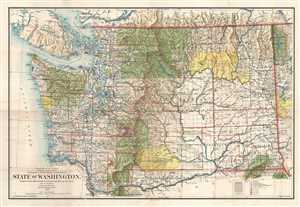
State of Washington.
sold
- Digital Map Information
- Suitable for large format printing
- File Size: 24.95 MB
- File Type: ZIP / TIFF
- ICC color profile embedded
- Delivered instantly via download link
This is a 1905 Frank Bond and General Land Office map of Washington. The map depicts the region from Vancouver Island and the Pacific Ocean to Idaho and from Canada to Oregon. Meticulously detailed, the state's organization is presented at several different levels. ... (more details)
A comprehensive and detailed map of Oregon at the beginning of the 20th century - marks Crater Lake National Park four years after it was established.
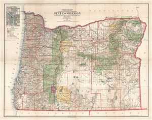
State of Oregon.
sold
- Digital Map Information
- Suitable for large format printing
- File Size: 30.8 MB
- File Type: ZIP / TIFF
- ICC color profile embedded
- Delivered instantly via download link
This is a 1906 Frank Bond and General Land Office map of Oregon. The map depicts the state from the Pacific Ocean to Idaho and from Washington to California. Meticulously detailed, the state's organization is presented at several different levels. At a statewide ... (more details)
Explorer's Routes and National Roads.
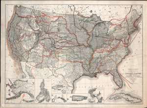
United States Showing Routes of Principal Explorers and Early Roads and Highways.
sold
- Digital Map Information
- Suitable for large format printing
- File Size: 62.87 MB
- File Type: ZIP / TIFF
- ICC color profile embedded
- Delivered instantly via download link
A most fascinating production, this is a fine example of the 1907 first edition of the Berthrong / Bond map of the United States showing exploratory routes and improved roads. The base map is a reduction of the General Land Office map of the United States issued annually from 1899 to illustrate the extending and progress of the Public Surveys. That map has here been overlayed with color-coded routes illustrating the most prominent explorations from the 1500s through the mid-19th century. In addition, it shows important roads then in being built or improved, including the National highway, Braddock Road, the Great Trail. The map was intended to demonstrate the current state of geographical knowledge and underscore the fact that - by 1907, little was left unexplored. (more details)
Explorer's Routes and National Roads.
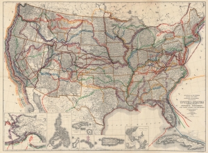
United States Showing Routes of Principal Explorers and Early Roads and Highways.
sold
- Digital Map Information
- Suitable for large format printing
- File Size: 143.92 MB
- File Type: ZIP / TIFF
- ICC color profile embedded
- Delivered instantly via download link
A most fascinating work, this is the 1908 edition of the Berthrong / Bond map of the United States, showing exploratory routes and improved roads. (more details)