
Buache de La Neuville, Jean-Nicolas (sold)
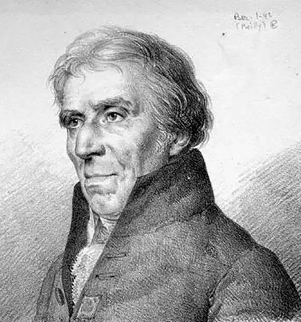
Jean-Nicolas Buache de La Neuville (1741 - 1825) was a French Hydrographer and Geographer active in the late 18th and early 19th centuries. He is a nephew of the well known theoretical cartographer Phillip Buache. Like Phillip and De L'Isle, with whom his was also related, J. N. Buache held the position of Premier Geographe du Roi. J. N. Buache was an ardent supporter of his uncle, Phillip Buache's, radical cartographic ideas regarding the speculated existence of a "northwest passage". Like Phillip, Jean Nicholas believed that theoretical cartography, that is, applying geographical theories could fill in the blank places on the globe before actual explorers traveled there. While this approach did yield occasional minor success, it is the spectacular misjudgments, such as speculation on the Northwest Passage, for which it is best known. Nonetheless, Jean Nicholas had a distinguished career as a well respected cartographer both in France and abroad. He published a large corpus of maps in addition to various theoretical treatises on cartography and geography.
Beautiful early map of Southern India.
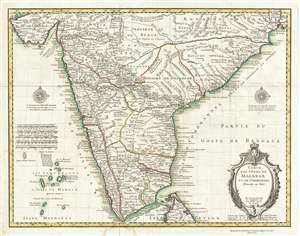
Carte des Cotes de Malabar et de Coromandel.
sold
- Digital Map Information
- Suitable for large format printing
- DPI: 300
- File Size: 13.67 MB
- File Type: ZIP / TIFF
- ICC color profile embedded
- Delivered instantly via download link
This is a beautiful 1745 map of southern India by Guillaume Delisle and Philippe Buache. The map covers southern India and the Malabar Coast from the Gulf of Kutch south to Cape Comorin and the northern half of Sri Lanka. The Lakshadweep Islands are included. ... (more details)
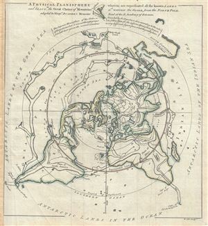
A Physical Planisphere wherein are represented all the known Lands and Seas, w.th the Great Chains of Mountains w.ch traverse the Globe from the North Pole.
sold
- Digital Map Information
- Suitable for large format printing
- Full resolution TIFF file
- ICC color profile embedded
- Delivered instantly via download link
This is a beautiful 1757 Philippe Buache map of the world represented on an unusual polar projection rendered from the North Pole. The map covers from the North Pole Arctic region south beyond Tasmania (Van Diemen's Land) to include parts of New Zealand and ... (more details)
Buache's fantastic speculative mapping of the undiscovered Antarctic continent.
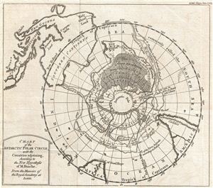
Chart of the Antarctic Polar Circle, with the Countries Adjoining, According to the New Hypothesis of M. Buache. From the Memoirs of the Royal Academy at Paris.
sold
- Digital Map Information
- Suitable for large format printing
- Full resolution TIFF file
- ICC color profile embedded
- Delivered instantly via download link
This is an unusual and highly speculative map of the southern Polar Regions (Antarctic) drawn in 1763 by the scientific geographer M. Buache. A subtle and unusual map that yields more fascinating discoveries the longer one studies it, this chart centers on ... (more details)
Rare French map detailing the Golden Age of Caribbean Piracy.
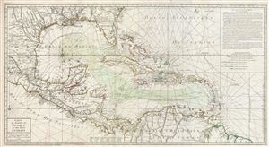
Carte du Golphe du Mexique et des isles Antilles.
sold
- Digital Map Information
- Suitable for large format printing
- DPI: 300
- File Size: 30.45 MB
- File Type: ZIP / TIFF
- ICC color profile embedded
- Delivered instantly via download link
A fine example of the 1780 Dezauche edition of Buache's important map of the West Indies. Centered on Cuba, this massive map covers Central America, the Gulf of Mexico, the West Indies, and the Caribbean from Mexico and Texas to the Lesser Antilles and ... (more details)
The Swan Song of Speculative Cartography regarding the Pacific Northwest.
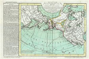
Nouvelle Carte de la Partie Septentrionale du Globe, comprise entre le Kamtchatka et la Californie.
sold
- Digital Map Information
- Suitable for large format printing
- DPI: 300
- File Size: 7.68 MB
- File Type: ZIP / TIFF
- ICC color profile embedded
- Delivered instantly via download link
Truly one of the scarcest and most extraordinary maps we have ever seen, this is Jean-Nicholas Buache de Neuville's 1781 map of the North Pacific, North America, and Siberia. This map is so dense with cartographic curiosity that it is as if Buache de ... (more details)
A remarkable Pre-Cook polar projection showing the Arctic and the Sea of the West.
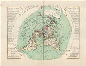
Planisphere Physique.
sold
- Digital Map Information
- Suitable for large format printing
- DPI: 300
- File Size: 12.32 MB
- File Type: ZIP / TIFF
- ICC color profile embedded
- Delivered instantly via download link
An exceptionally bright and beautiful c. 1781 Philippe Buache map of the world presented on an unusual polar projection rendered from the North Pole. The map covers from the North Pole Arctic region south beyond Tasmania (Van Diemen's Land) to ... (more details)
One of the last French maps to use the term 'Sea of Korea'.
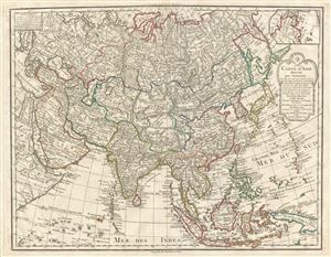
Carte D'Asie dressee pour L'Instruction…
sold
- Digital Map Information
- Suitable for large format printing
- DPI: 300
- File Size: 20.59 MB
- File Type: ZIP / TIFF
- ICC color profile embedded
- Delivered instantly via download link
A rare and attractive 1800 map of Asia by Guillaume Delisle and Philippe Buache. Centered on Independent Tartary, this map covers the entire continent from Africa and the Mediterranean east to the Bering Sea and south as far as Java and New ... (more details)
Beautifuly engraved 1807 French map of Boston, Massachusetts.
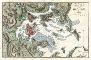
Boston et ses Environs.
sold
- Digital Map Information
- Suitable for large format printing
- DPI: 300
- File Size: 5.73 MB
- File Type: ZIP / TIFF
- ICC color profile embedded
- Delivered instantly via download link
A beautiful 1807 map of Boston and its immediate vicinity drawn by J. N. Buache for inclusion in the 1807 French edition of Marshall's Life of Washington . Covers the Boston area from Brookline and Cambridge to the Atlantic. Shows the ... (more details)
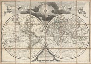
Mappemonde a l'usage de l'Instr.on par Guillaume Delisle et Philippe Buache Premiers Geographes et de l'Academie des Sciences. Revue e Augmentee des Nles. Decouvertes par Dezauche en 1808.
sold
- Digital Map Information
- Suitable for large format printing
- DPI: 300
- File Size: 23.46 MB
- File Type: ZIP / TIFF
- ICC color profile embedded
- Delivered instantly via download link
An uncommon and appealing 1808 pocket map of the world in two hemispheres by Dezauche. This is a later revision, by Dezauche, of Guillaume de Lisle and Phillipe Buache's map of 1785. This popular map, which underwent numerous revisions ... (more details)