
Knight, Charles (sold)

Charles Knight (March 15, 1791 - March 9, 1873) was an English map publisher, author, and editor. Knight was born to a known publishing family. His father, a bookseller of Windsor took him as an apprentice. On fulfilling his indenture, Knight proceed to publish several small newspapers, including The Etonian and Knight's Quarterly Magazine. In 1828 Knight has contracted to become the superintendent of the newly formed Society for the Diffusion of Useful Knowledge, or S.K.U.K. for short. Knight's personal values matched those of the S.D.U.K., whose stated purpose was the democratization of knowledge. Most of Knight's cartographic publications were in association with the S.K.U.K., which financed a detailed and comprehensive world atlas. Despite Knights able management, the goals of the S.D.U.K. we're not fiscally supported by the sale of its publication and the organization folded in 1848. Knight however, continued his publishing career as well has his career as an author, producing such works as The Results of Machinery (1831) and Knowledge is Power (1855). He also composed his own autobiography, published in two volumes from 1864 to 1865, entitled Working Life during Half a Century. Knight died in Addlestone, Surrey, in 1873, at a respectable 81 years.
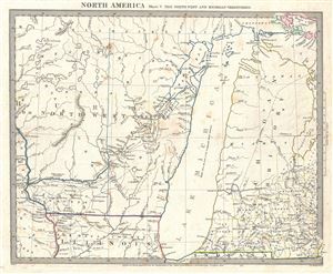
North America Sheet V The North West and Michigan Territories.
sold
- Digital Map Information
- Suitable for large format printing
- DPI: 300
- File Size: 5.9 MB
- File Type: ZIP / TIFF
- ICC color profile embedded
- Delivered instantly via download link
This is a scarce and important map issued by the S.D.U.K. in 1833 depicting Lake Michigan, the second largest of the five Great Lakes, and the only one that lies entirely within the United States. Centered on Lake Michigan, it covers the surrounding region ... (more details)
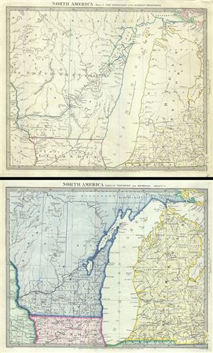
North America Sheet V The North West and Michigan Territories. North America Parts of Wisconsin and Michigan. Sheet V.
sold
- Digital Map Information
- Suitable for large format printing
- DPI: 300
- File Size: 13.13 MB
- File Type: ZIP / TIFF
- ICC color profile embedded
- Delivered instantly via download link
A scarce and important set of 2 maps issued by the S.D.U.K. in 1833 and 1848 depict Lake Michigan, the second largest of the five Great Lakes, and the only one that lies entirely within the United States. This pair of maps, centered on Lake Michigan, cover ... (more details)
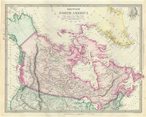
British North America.
sold
- Digital Map Information
- Suitable for large format printing
- DPI: 300
- File Size: 7.9 MB
- File Type: ZIP / TIFF
- ICC color profile embedded
- Delivered instantly via download link
This is an attractive full color 1848 edition of the S.D.U.K. map of British North America or Canada. It depicts the British and Russian holdings in North America. Centered on the Hudson bay, the map covers from modern day Alaska (Russian America) to ... (more details)
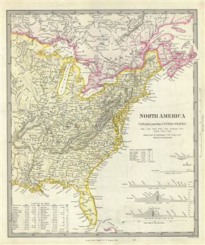
North America Canada and the United States.
sold
- Digital Map Information
- Suitable for large format printing
- DPI: 300
- File Size: 7.03 MB
- File Type: ZIP / TIFF
- ICC color profile embedded
- Delivered instantly via download link
This is a fascinating 1848 full color edition of the S.D.U.K. map of the United States including part of Canada. The map covers the United States east of the Mississippi as well as the Trans-Mississippi territories of Louisiana, Arkansas and Missouri. ... (more details)
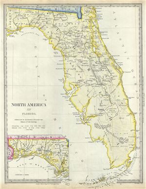
North America XIV Florida.
sold
- Digital Map Information
- Suitable for large format printing
- DPI: 300
- File Size: 6.21 MB
- File Type: ZIP / TIFF
- ICC color profile embedded
- Delivered instantly via download link
This is a beautiful 1848 full color edition of the S.D.U.K. map of Florida. It covers the state of Florida in its entirety with the westernmost portion depicted in an inset in the bottom left quadrant. The map identifies several Indian villages, ... (more details)

North America Sheet XII. Georgia, with Parts of North and South Carolina, Tennessee, Alabama and Florida.
sold
- Digital Map Information
- Suitable for large format printing
- DPI: 300
- File Size: 8.36 MB
- File Type: ZIP / TIFF
- ICC color profile embedded
- Delivered instantly via download link
A beautiful 1848 full color map of Tennessee, Georgia and parts of Alabama, North Carolina and South Carolina issued by the S.D.U.K. It covers the states of Tennessee and Georgia in their entirety while only part of the neighboring Alabama, North ... (more details)
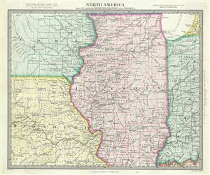
North America Sheet IX Parts of Missouri, Illinois and Indiana.
sold
- Digital Map Information
- Suitable for large format printing
- DPI: 300
- File Size: 7.04 MB
- File Type: ZIP / TIFF
- ICC color profile embedded
- Delivered instantly via download link
A lovely 1848 map of Illinois, Missouri, Iowa and Indiana by the S.D.U.K. The map covers parts of Illinois, Iowa, Missouri and Indiana from the Hahawa Lake in Iowa, south as far as Benton County in Missouri, east as far as Perry County and north ... (more details)
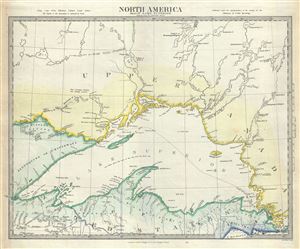
North America Sheet IV Lake Superior.
sold
- Digital Map Information
- Suitable for large format printing
- DPI: 300
- File Size: 6.06 MB
- File Type: ZIP / TIFF
- ICC color profile embedded
- Delivered instantly via download link
A fine 1848 full color edition of the S.D.U.K. map of Lake Superior, the largest of the five Great Lakes. The map covers from Nagagami Lake (Nagagaminga Lake) south as far the northern tip of Lake Michigan. Notes the Indian tribes of ... (more details)
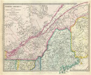
North America Sheet II Lower Canada and New Brunswick with Part of New-York, Vermont and Maine.
sold
- Digital Map Information
- Suitable for large format printing
- DPI: 300
- File Size: 9.05 MB
- File Type: ZIP / TIFF
- ICC color profile embedded
- Delivered instantly via download link
This is a lovely 1848 map depicting Quebec, Canada and Maine, United States, issued by the S.D.U.K. Parts of New Brunswick, Vermont and New York are also included. Centered on the St. Lawrence River, it covers part of Quebec or Lower ... (more details)
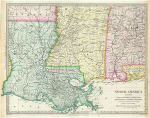
North America Sheet XIII Parts of Louisiana, Arkansas, Mississippi, Alabama and Florida.
sold
- Digital Map Information
- Suitable for large format printing
- DPI: 300
- File Size: 7.76 MB
- File Type: ZIP / TIFF
- ICC color profile embedded
- Delivered instantly via download link
This is an uncommon 1848 full color edition of the S.D.U.K. map of Mississippi, Louisiana and Alabama. It depicts a major portion of the states of Louisiana, Mississippi and Alabama, along with parts of Arkansas and Florida. The map ... (more details)
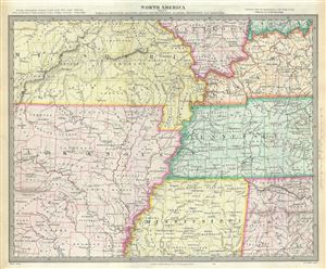
North America Sheet X Parts of Missouri, Illinois, Kentucky, Tennessee, Alabama, Mississippi and Arkansas.
sold
- Digital Map Information
- Suitable for large format printing
- DPI: 300
- File Size: 7.83 MB
- File Type: ZIP / TIFF
- ICC color profile embedded
- Delivered instantly via download link
An attractive 1848 full color edition of the S.D.U.K. map of Arkansas, Missouri, Mississippi, Kentucky, Tennessee, Alabama and Illinois. The map covers from St. Clair in Missouri to Hempstead in Arkansas and east as far as ... (more details)
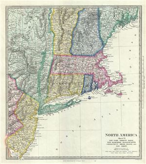
North America Sheet VI New-York, Vermont, Maine, New-Hampshire, Massachusetts, Connecticut, Rhode-Island, and New-Jersey.
sold
- Digital Map Information
- Suitable for large format printing
- DPI: 300
- File Size: 7.16 MB
- File Type: ZIP / TIFF
- ICC color profile embedded
- Delivered instantly via download link
This is a fine 1848 map of New England, New York and New Jersey issued by the S.D.U.K. The map covers from Waldo County in Maine south as far as the tip of New Jersey and west as far as St. Lawrence County in New York. ... (more details)
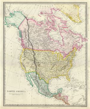
North America.
sold
- Digital Map Information
- Suitable for large format printing
- DPI: 300
- File Size: 7.69 MB
- File Type: ZIP / TIFF
- ICC color profile embedded
- Delivered instantly via download link
An uncommon 1848 full color edition of the S.D.U.K map of North America. The map covers all of the United States, Canada, Russian America (Alaska) and Mexico shortly following the Mexican American War (1846-1848) and ... (more details)
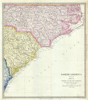
North America Sheet XI Parts of North and South Carolina.
sold
- Digital Map Information
- Suitable for large format printing
- DPI: 300
- File Size: 6.59 MB
- File Type: ZIP / TIFF
- ICC color profile embedded
- Delivered instantly via download link
A beautiful 1848 full color map of North Carolina and South Carolina by the S.D.U.K. The map covers part of North and South Carolina from Ashe County in North Carolina to the Atlantic Ocean. It identifies several ... (more details)
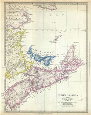
North America Sheet I Nova-Scotia with Part of New Brunswick and Lower Canada.
sold
- Digital Map Information
- Suitable for large format printing
- DPI: 300
- File Size: 6.82 MB
- File Type: ZIP / TIFF
- ICC color profile embedded
- Delivered instantly via download link
An uncommon 1848 full color edition of the S.D.U.K. map of Nova Scotia. The map covers the maritime provinces of Canada including the Prince Edward Island and part of New Brunswick and Quebec. Canadian provinces ... (more details)
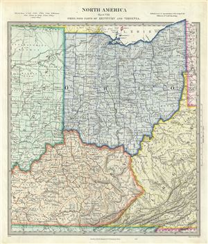
North America Sheet VIII Ohio, With parts of Kentucky and Virginia.
sold
- Digital Map Information
- Suitable for large format printing
- DPI: 300
- File Size: 8.21 MB
- File Type: ZIP / TIFF
- ICC color profile embedded
- Delivered instantly via download link
An attractive 1848 full color edition of the S.D.U.K. map of Ohio, Kentucky, Indiana and Virginia. The map covers the state of Ohio in its entirety along with parts of neighboring Indiana, Kentucky and Virginia. ... (more details)
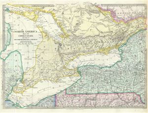
North America Sheet III Upper Canada with Parts of New-York, Pennsylvania and Michigan.
sold
- Digital Map Information
- Suitable for large format printing
- Full resolution TIFF file
- ICC color profile embedded
- Delivered instantly via download link
This is an attractive 1848 map of Upper Canada or Ontario issued by the S.D.U.K. Centered on Lake Ontario, the map covers from Drummond Island in the United States to Vaudreuil. Three of the Five Great Lakes, ... (more details)

North America Sheet VII Pennsylvania, New Jersey, Maryland, Delaware, Columbia and Part of Virginia.
sold
- Digital Map Information
- Suitable for large format printing
- Full resolution TIFF file
- ICC color profile embedded
- Delivered instantly via download link
A beautiful 1848 map of Pennsylvania, New Jersey, Maryland, Delaware and Virginia issued by the S.D.U.K. The map covers the states of Pennsylvania, New Jersey, Maryland and Delaware in full with parts of ... (more details)
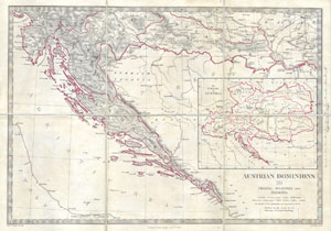
Austrian Dominions III: Croatia, Sclavonia and Dalmatia.
sold
- Digital Map Information
- Suitable for large format printing
- Full resolution TIFF file
- ICC color profile embedded
- Delivered instantly via download link
This is a S.D.U.K. map of a rarely depicted portion of Europe including most of modern day Croatia. Depicts the south part of the Austrian Empire including Dalmatia, Croatia, and Sclavonia. A large ... (more details)