
Morse, Jedidiah (sold)
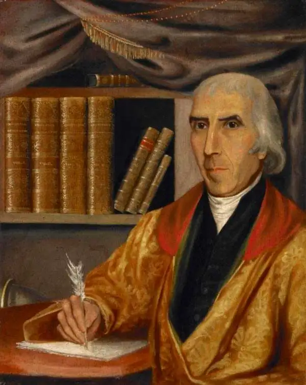
Jedidiah Morse (August 23, 1761 – June 9, 1826) was an American geographer and minister active in Connecticut during the late 18th and early 19th centuries. Morse wan born in Woodstock, Connecticut and studied at Yale University, earning a M. A. in 1786. He advocated for better education for young women and founded a school to this end in New Haven in 1783. Morse was active in religious circles and often railed against the 'assaults of Unitarianism.' Nonetheless, it was as an advocate for women's education that Morse contributed the most to cartography. Recognizing a need for better textbooks, he published a series of geographies including Geography Made Easy (1784), American Geography (1789), and the Universal Geography of the United States (1797). His work with geographical textbooks earned him the informal title 'Father of American Geography.' He married Elizabeth Ann Finley Breese sometime after 1789, when he became a pastor in Charlestown, Boston, with whom he had several children. His eldest son, Samuel Finley Breese Morse (April 27, 1791 – April 2, 1872), was a noted painter and telegraphy pioneer (also a co-developer of Morse code). Some of his other children were Sidney Edwards Morse (February 7, 1794 - December 24, 1871), a noted geographer and inventor, and Richard Cary Morse (1795 - 1868), who helped his father with his geographical work and founded the New York Observer with his brother Sidney.
The state of Franklinia. The first map of the United States by a Southerner.
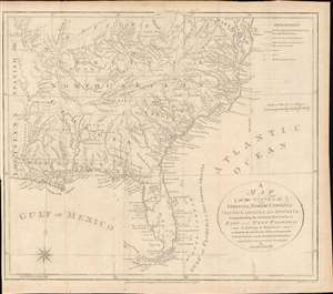
A Map of the States of Virginia, North Carolina, South Carolina and Georgia; Comprehending the Spanish Provinces of East and West Florida: Exhibiting the Boundaries as fixed by the late Treaty of Peace between the United States and the Spanish Dominions.
sold
- Digital Map Information
- Suitable for large format printing
- DPI: 600
- File Size: 242.41 MB
- File Type: ZIP / TIFF
- ICC color profile embedded
- Delivered instantly via download link
This 1792 Joseph Purcell map of the United States recording post-Revolutionary War westward expansion. This is one of the earliest maps to identify the ephemeral pseudo-state of Franklinia, the claims of the Ohio Company of Associates, the lands of the New Jersey and Wabash Companies, the Cumberland Settlement, and the Moravian Settlement. It is moreover, one of the best maps of the American Indian nations in the southeast - benefiting from Purcell's firsthand reconnaissance. Significantly, this is also the first maps of the United States by a southern cartographer. (more details)
One of the earliest American maps to extend to the Mississippi. Illustrates ealry postal routes and the Connecticut Western Reserve.
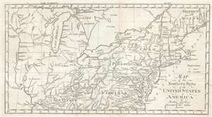
Map of the Northern Pars of the United States of America. By Abraham Bradley Jr. Corrected by the Author.
sold
- Digital Map Information
- Suitable for large format printing
- DPI: 300
- File Size: 3.83 MB
- File Type: ZIP / TIFF
- ICC color profile embedded
- Delivered instantly via download link
This is a scarce and significant early postal route map of the northern parts of the United States illustrating postal routes and the five Jeffersonian states proposed by the Ordinance of 1789. The present example is the 1802 Jedidiah Morse issue of the northern ... (more details)
One of the earliest American maps to extend to the Mississippi. Illustrates early postal routes and the Connecticut Western Reserve.

Map of the Northern Parts of the United States of America. By Abraham Bradley Jr. Corrected by the Author.
sold
- Digital Map Information
- Suitable for large format printing
- DPI: 300
- File Size: 3.5 MB
- File Type: ZIP / TIFF
- ICC color profile embedded
- Delivered instantly via download link
This is a scarce and significant early 1802 postal route map of the northern parts of the United States illustrating postal routes and the five Jeffersonian states proposed by the Ordinance of 1789. The present example is the 1802 Jedidiah Morse issue of the ... (more details)
One of the Earliest American Maps to Extend to the Mississippi.
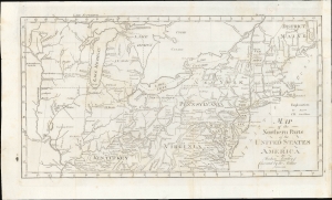
Map of the Northern Parts of the United States of America.
sold
- Digital Map Information
- Suitable for large format printing
- File Size: 196.32 MB
- File Type: ZIP / TIFF
- ICC color profile embedded
- Delivered instantly via download link
This is a significant 1802 map of the northern parts of the United States illustrating postal routes and the five Jeffersonian states proposed by the Ordinance of 1789. The present example is the Jedidiah Morse issue of the northern part of Abraham Bradley's 1797 postal map of the United States - one of the most important maps in American history. It is one of the first American maps to extend west to the Mississippi River, and one of the first to address early colonization of the lands west of Pennsylvania, including Ohio. (more details)
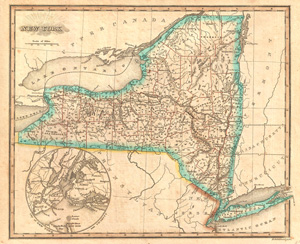
New York.
sold
- Digital Map Information
- Suitable for large format printing
- DPI: 300
- File Size: 5.23 MB
- File Type: ZIP / TIFF
- ICC color profile embedded
- Delivered instantly via download link
This 1823 Sidney Morse map of New York State has an interesting inset of 'City of New York and Vicinity,' with shading showing that Manhattan had not developed beyond it's southern quarter. State border hand colored withrelief shown by hachures. For those ... (more details)