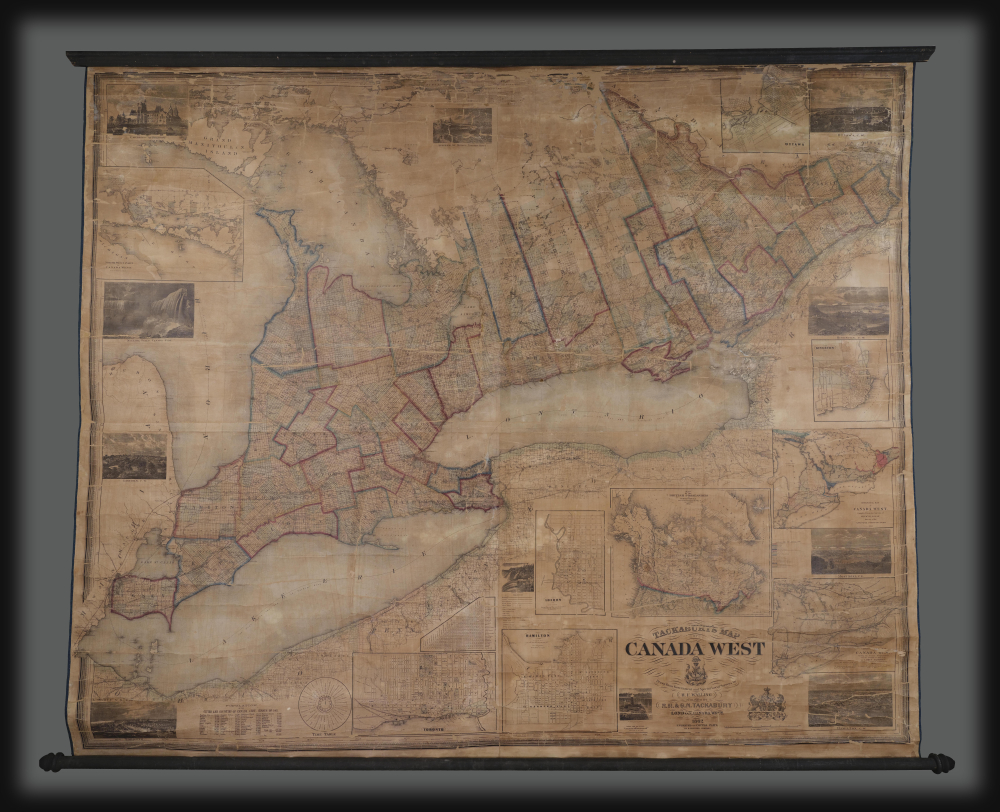
Most recently added antique and rare maps as of 8/21/2025.
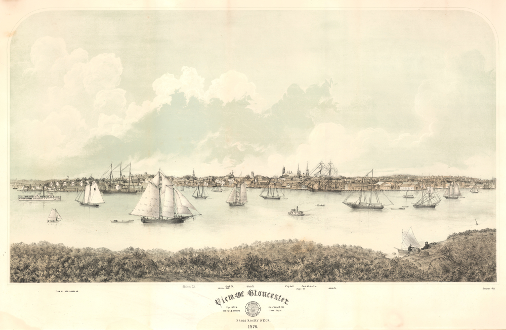
Scarce 19th century image of the great Cape Ann Fishing Port.
$3,000.00
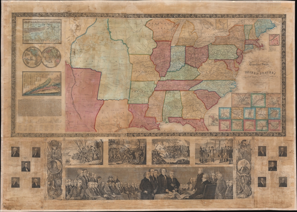
Patriotic wall map of the United States illustrating the Republic of Texas.
$3,000.00
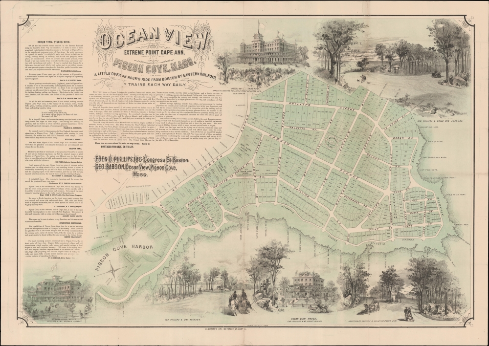
'Of all the wild romantic places I have visited, nothing exceeds Pigeon Cove...' - Francis A. Durivage
$2,900.00
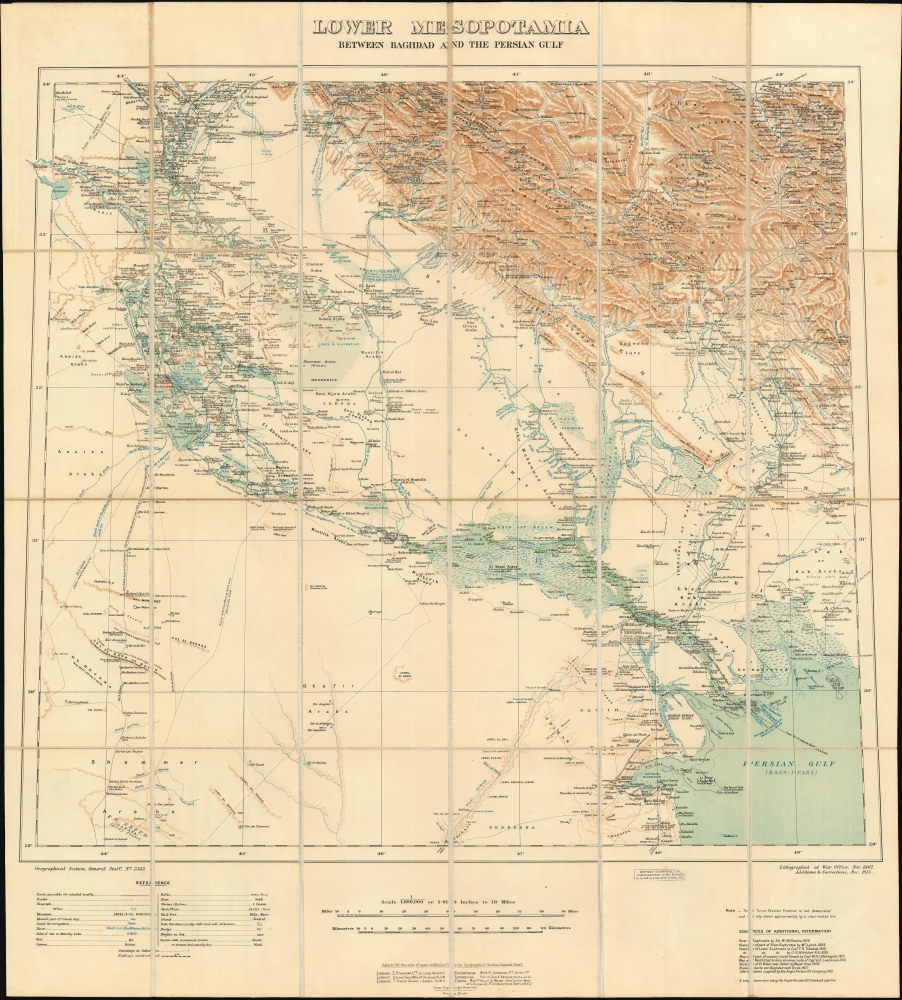
Best map of the region, used by both sides in WWI.
$2,500.00
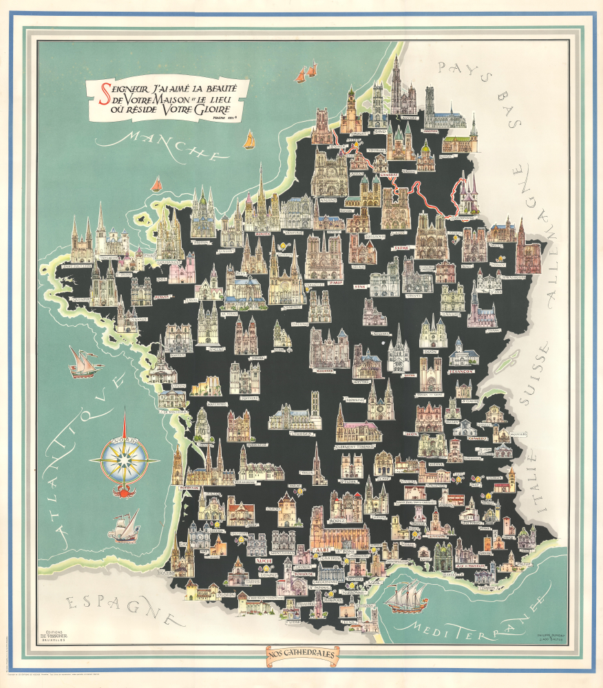
Cathedrals of France.
$1,200.00
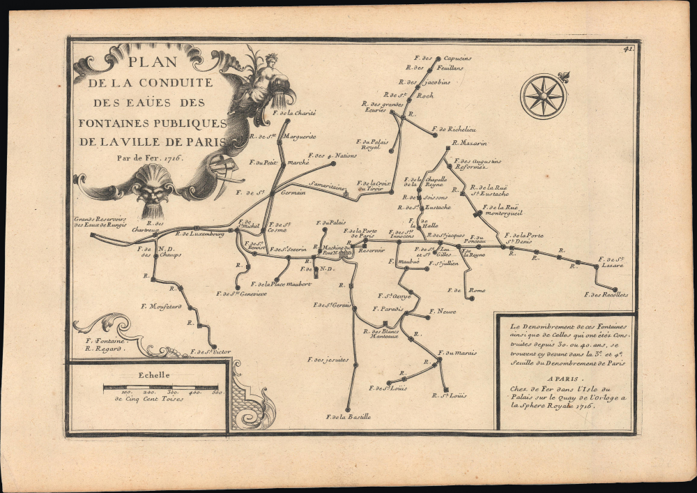
Sanitation and Water Supply in 18th century Paris.
$650.00
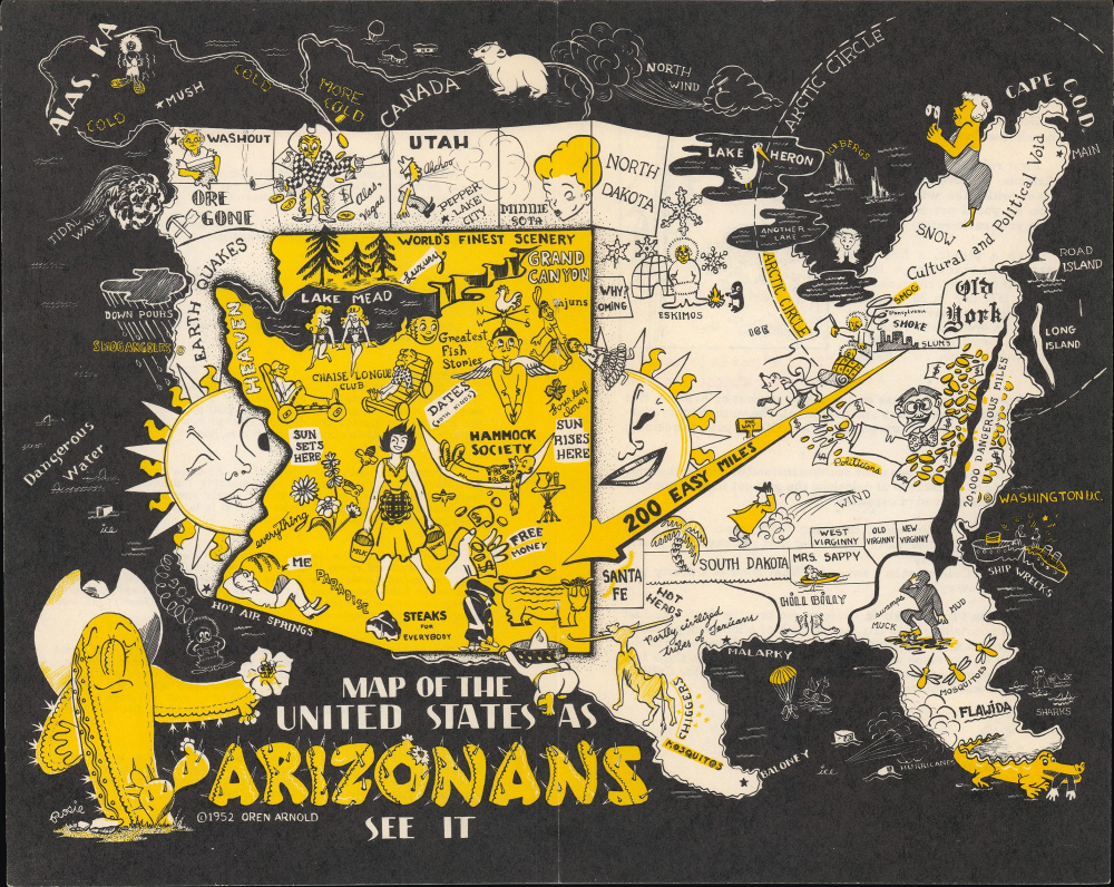
Paradigmatic Mid-Century 'Brags Map'.
$500.00
Bellin's beautiful mapping of Bombay (Mumbai).
$400.00
One of the earliest atlas maps engraved in England.
$350.00
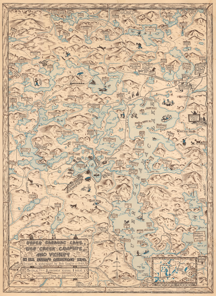
Scarce Pictorial Map of the Adirondacks.
$350.00
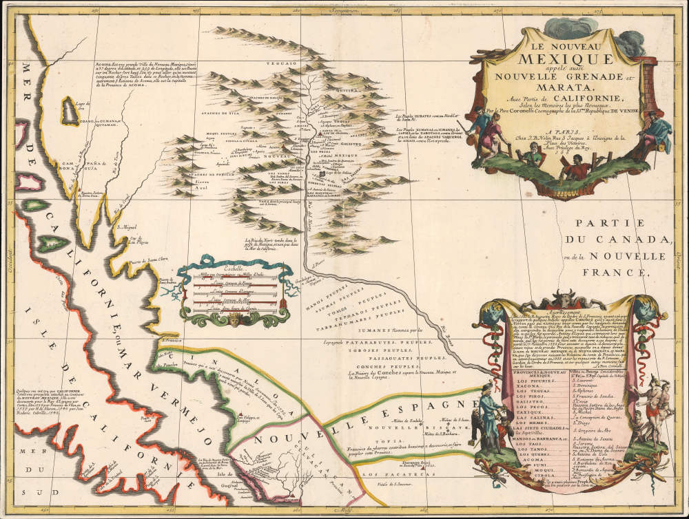
'... most momentous map of the American south-west published ...' - Burden
$14,500.00
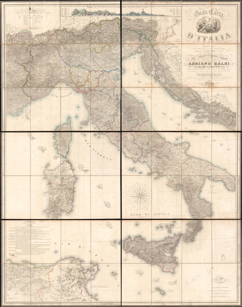
'The Balbi Map' - largest commercial map of Italy of the 19th century.
$7,000.00
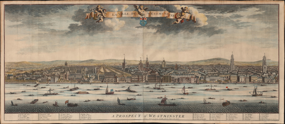
Superbly executed Panorama of Westminster, West London.
$6,500.00

