Most recently added antique and rare maps as of 8/27/2025.
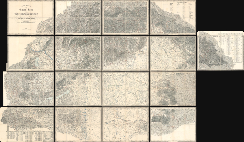
1858 Royal Military Geographical Institute 17-Sheet Wall Map of the Kingdom of Hungary
Second military survey of the Habsburg lands.
$3,500.00

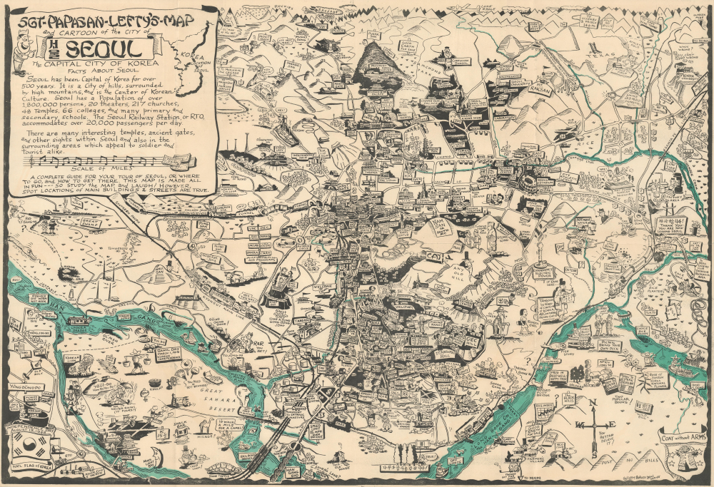
1958 'Lefty' Burgess Pictorial Map of Seoul, Korea
American army life in post-Korean War Seoul.
$3,200.00

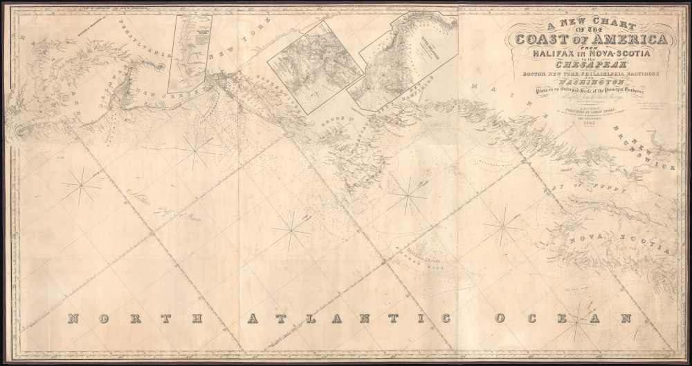
1852 Imray Blueback Chart of the Atlantic Coast of Canada and the United States
West-oriented chart of the Middle and North Atlantic Coastline.
$3,000.00

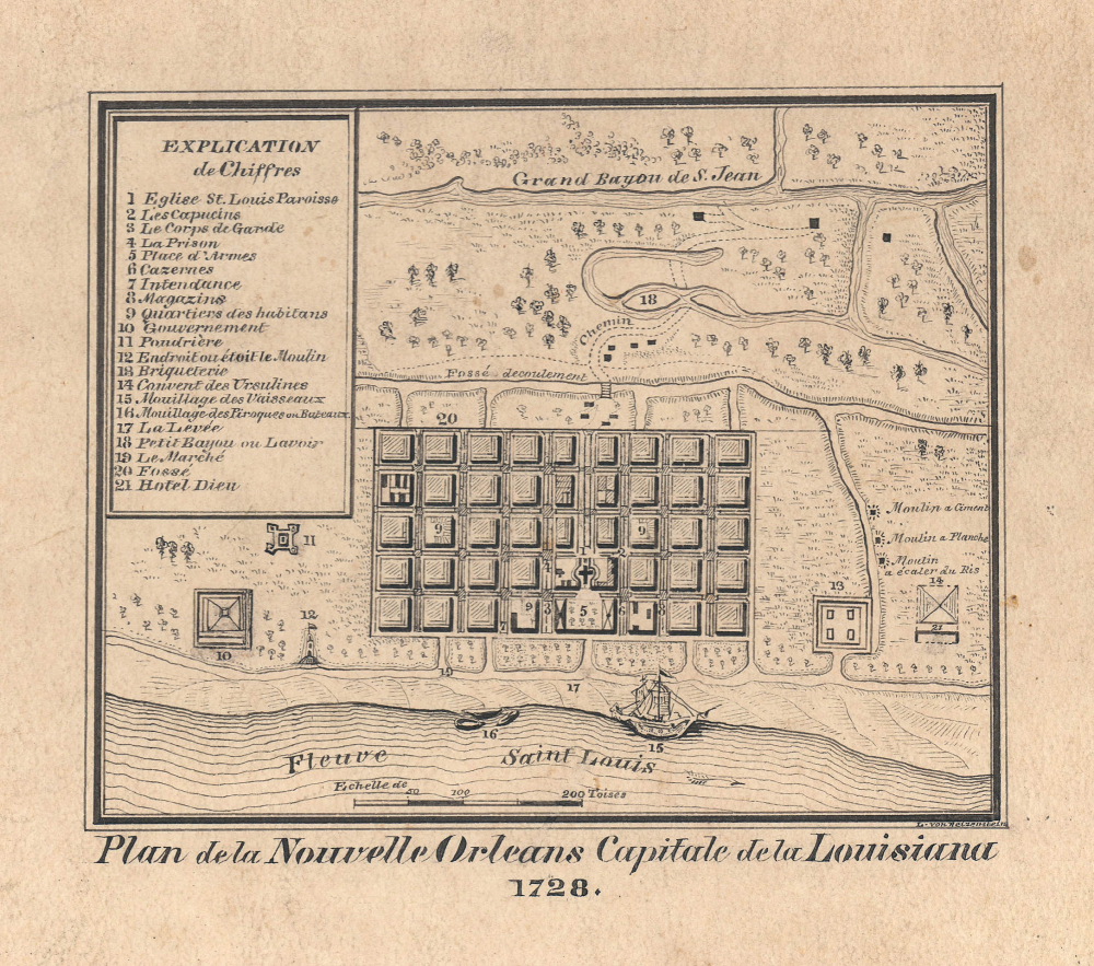
1880 Reizenstein Manuscript of 1728 Map of New Orleans
Harkening to the Earliest Days of New Orleans.
$2,400.00

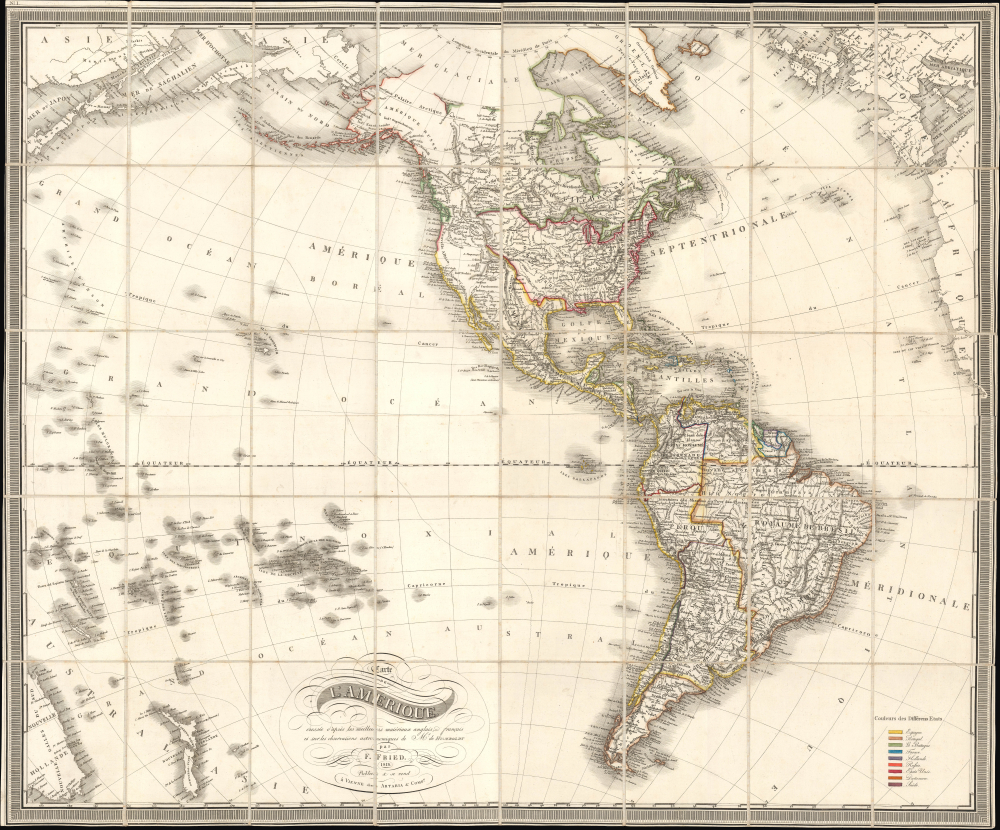
1818 Fried Folding Map of the Americas, Ephemeral Borders
Americas in the Midst of Revolutions.
$1,800.00

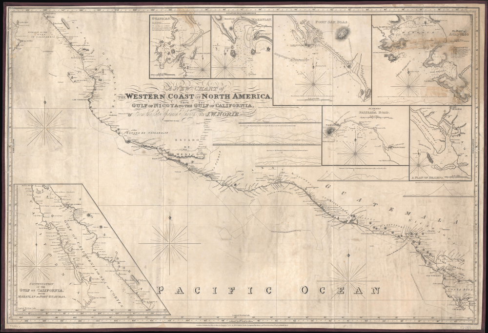
1828 / 1846 Norie Blueback Chart of the West Coast of Mexico and Central America
Pacific Coast of Newly Independent Countries.
$1,600.00

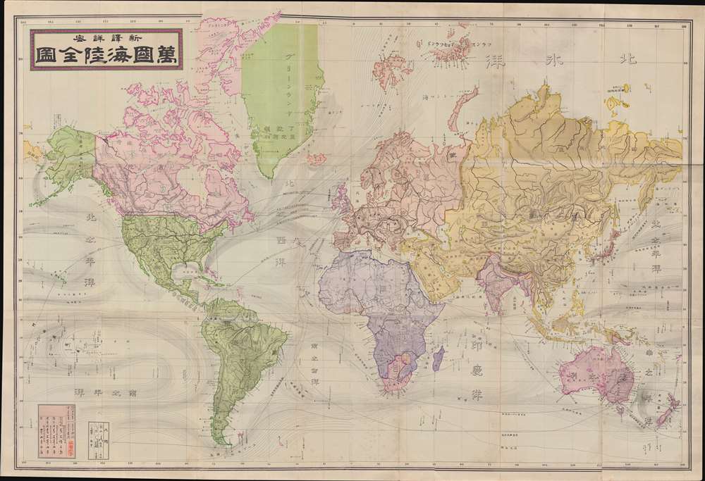
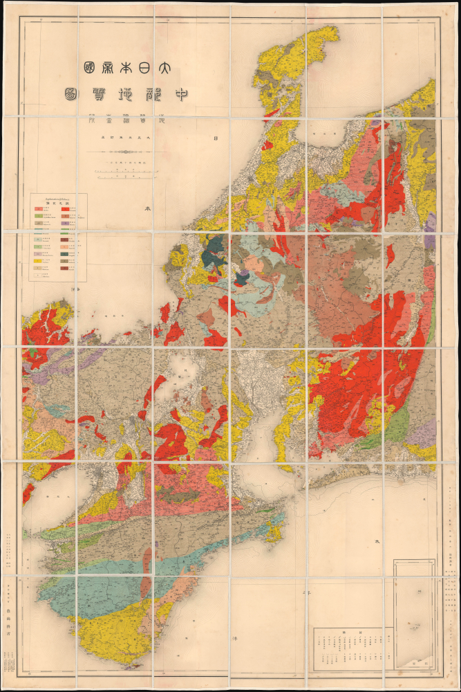
1892 Aoki Tsunesaburō Map of the World
Meiji Japan navigates the modern world.
$1,500.00

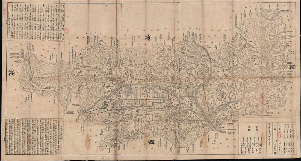
1778 Hyakuga Map of Kyoto and Yamashiro Prefecture
Before the Great Kyoto Fire of 1788.
$1,400.00

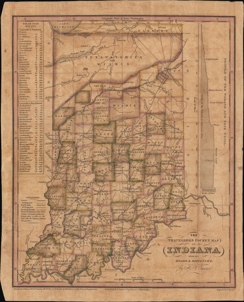
1831 Tanner Pocket Map of Indiana
Early Appearance of the Wabash and Erie Canal.
$1,200.00

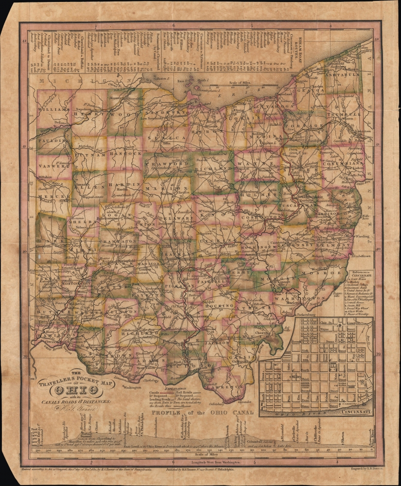
1830 Tanner Pocket Map of Ohio
A Pacified Frontier.
$1,200.00

1931 Spanish Army Map of Tenerife, Canary Islands
Best and largest map of Tenerife to appear during the Second Spanish Republic.
$750.00

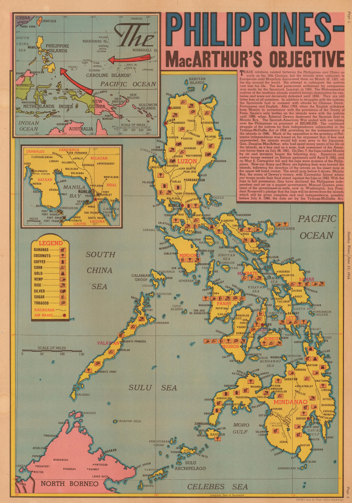
1944 Sundberg Map of the Philippines
Published 4 months before the American invasion.
$650.00

1707 Homann Map of the Duchy of Savoy
Savoy Switches from Bourbon to Habsburg.
$550.00

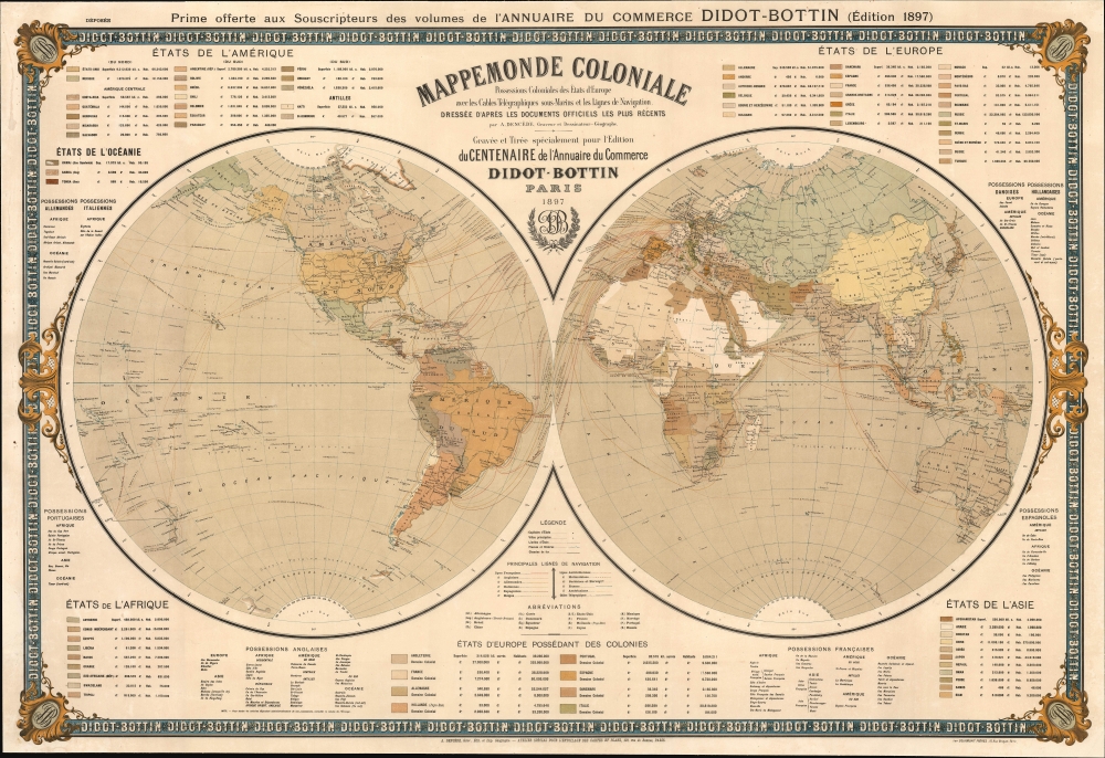
1897 Antoine Victor Dencède Wall Map of the World
Global reach of fin-de-siècle colonial power.
$7,500.00

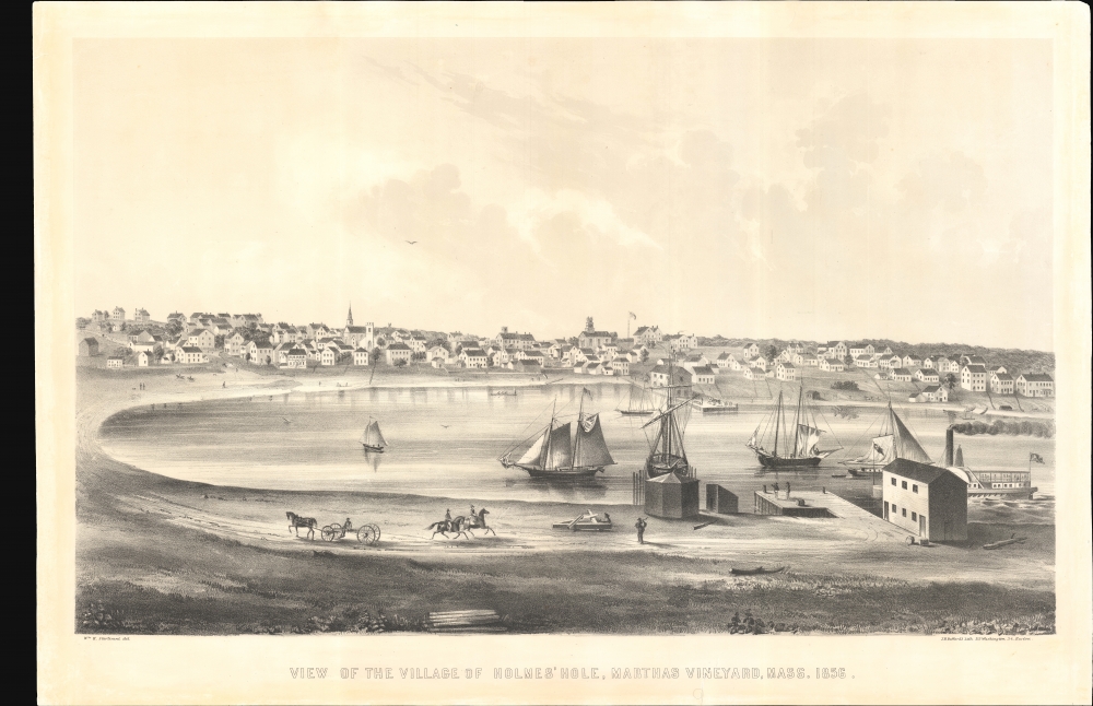
1856 Sturtevant and Bufford View of Vineyard Haven, Martha's Vineyard
Vineyard Haven at the height of its Whaling Boom.
$4,500.00

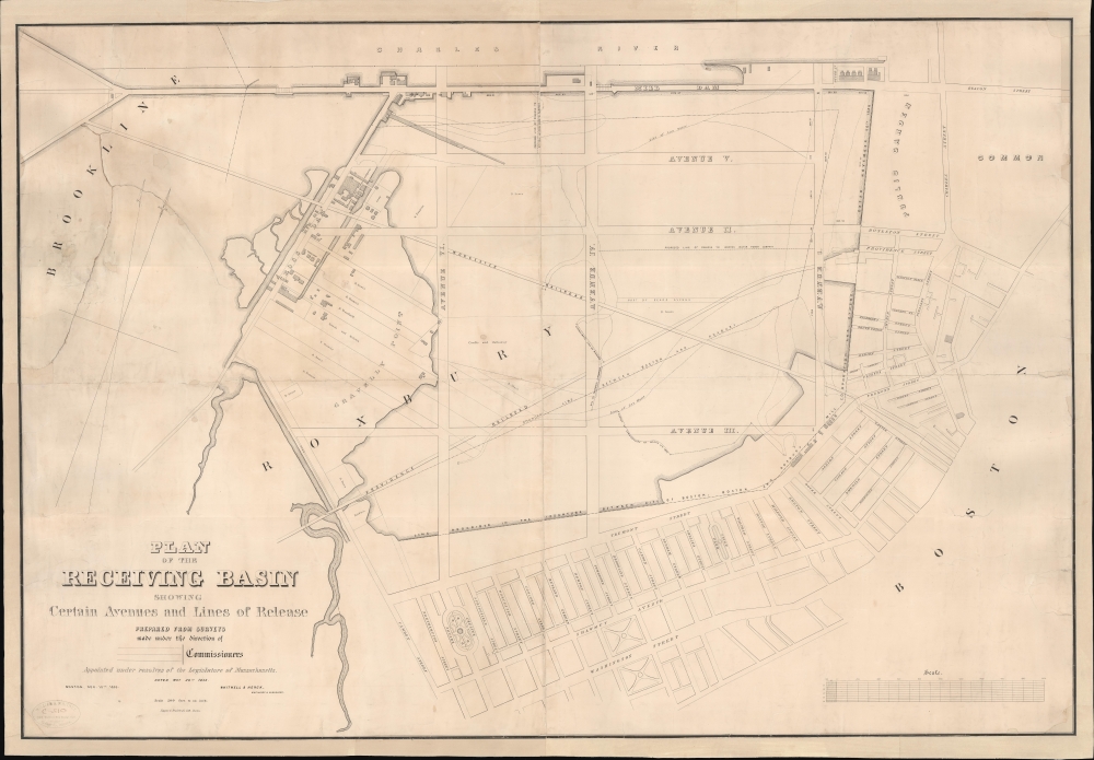
1853 Planning Map of the Back Bay, Boston
Planning the Back Bay.
$3,500.00